





Details
Description
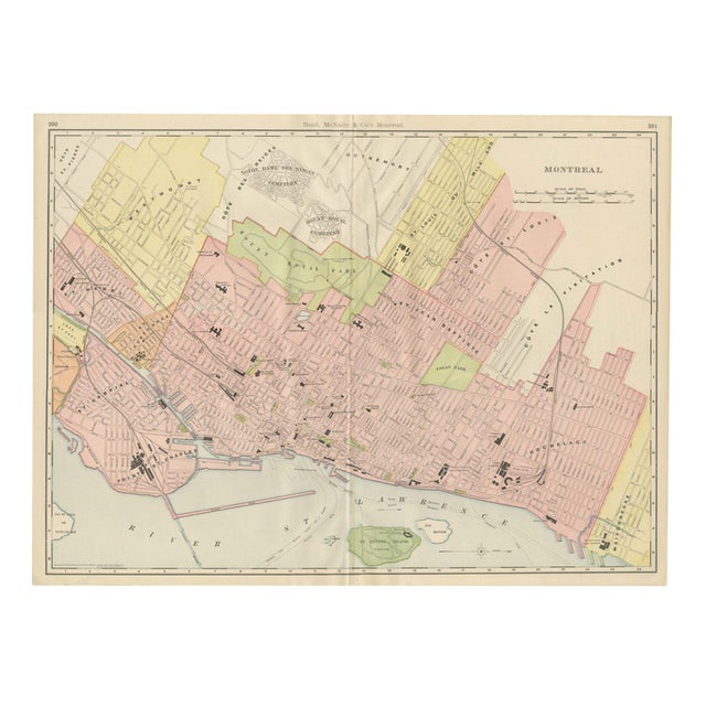
This antique map of Montreal is the street plan Rand McNally printed across pages 390 and 391 of its 1899 …
Read more
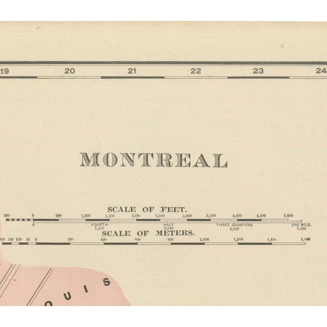
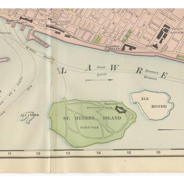
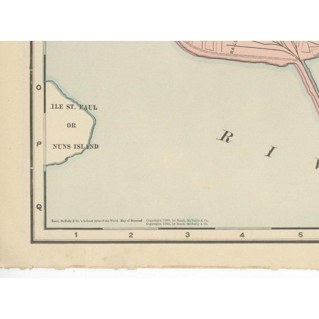
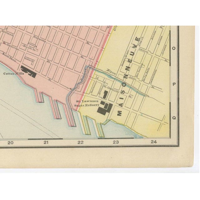
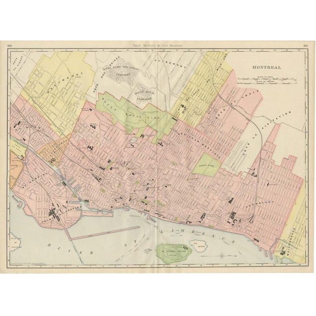
This antique map of Montreal is the street plan Rand McNally printed across pages 390 and 391 of its 1899 indexed atlas, running from Westmount and Cote Saint Pierre in the west to Hochelaga and Maisonneuve in the east, and from the Notre Dame des Neiges and Mount Royal cemeteries in the north down to the Saint Lawrence waterfront. Mount Royal Park, McGill College and the grounds of the Seminary of Philosophy are washed in green, and the wards, among them Saint Henri, Saint Gabriel, Saint Jean Baptiste, Cote Saint Louis, Cote de la Visitation and Hochelaga, are tinted separately in pink or pale yellow to set the annexed suburban municipalities apart from the older city core. Individual buildings and institutions are named and, in several cases, shown by a small black footprint on the street grid: the Windsor Hotel, the Art Gallery, Christ Church Cathedral, the Grey Nunnery, the Royal Victoria Hospital and the General Hospital are all marked, along with Logan Park east of the old city and the wharves and rail yards along the river. Saint Helen's Island, shown in green as a public park, and the smaller Ile Ronde sit in the Saint Lawrence opposite the harbour, with a compass rose and a scale of feet at lower right. The waterfront carries considerable detail; "Proposed Wharves" are labelled along the river below Point Saint Charles, a reminder that the harbour was still under active expansion when this plate was drawn. As a large-scale city plan the sheet has no railroad colour key of its own; instead it records the built city street by street, a useful and now historically informative document of Montreal at the very end of the 1890s. Rand McNally, which grew from William Rand's Chicago printing business of the 1850s after Andrew McNally joined it, was by the 1890s one of the leading map publishers in the United States. This antique map of Montreal is a colour lithograph, the outline printed in black with the colours printed over it, and an original 1899 atlas sheet, issued folded through the centre. It is suitable for framing. The colour is printed rather than applied by hand. The sheet is in good condition for its age, with light age toning, deeper toward the sheet edges, minor wear to the lower corners and the original central fold as issued. Please review the images for further condition details. This is an original antique map, not a modern reproduction. This item is sold unframed. Any framed or interior images are shown for presentation and inspiration only, unless the listing explicitly states that the item is sold framed. This piece is attributed to the mentioned designer/maker. It has no attribution mark and no
official proof of authenticity,
however it is well documented in design history. I take full responsibility for any authenticity
issues arising from misattribution
See less
- Dimensions
- 27.17ʺW × 20.47ʺH
- Period
- 19th Century
- Item Type
- Vintage, Antique or Pre-owned
- Materials
- Paper
- Condition
- Good Condition, Unknown, Some Imperfections
- Color
- Black
- Condition Notes
- Very Good — This vintage item has no defects, but it may show slight traces of use\. Light age toning, … moreVery Good — This vintage item has no defects, but it may show slight traces of use\. Light age toning, deeper toward the sheet edges, Minor wear to the lower corners and the original central fold as issued less
Returns & Cancellations
Return Policy - All sales are final 48 hours after delivery, unless otherwise specified in the description of the product.
Cancellation Policy - Prior to shipping or local pickup, buyers may cancel an order for up to 48 hours, unless otherwise specified.