





Details
Description
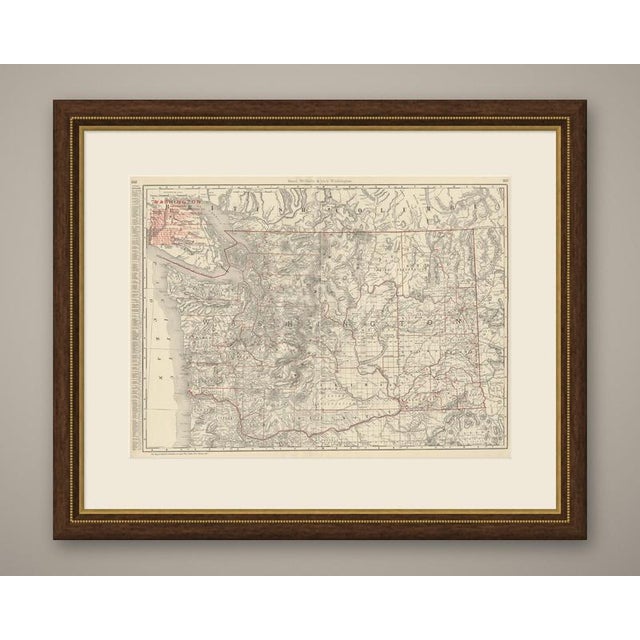
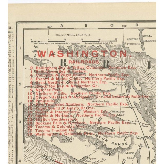
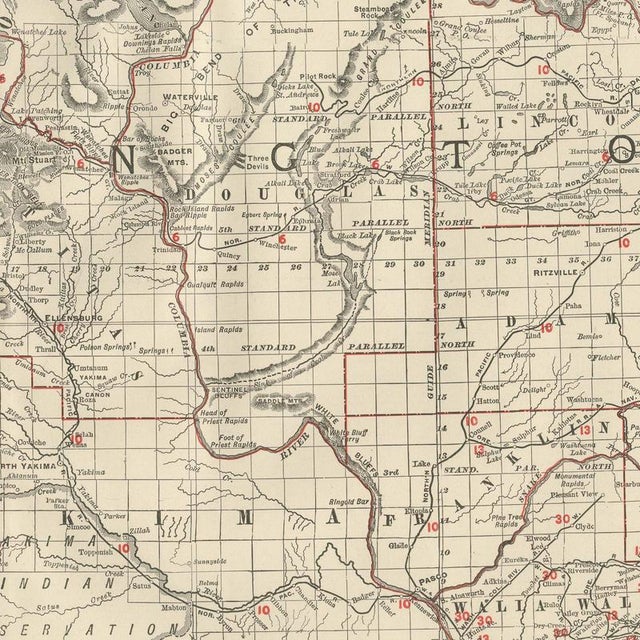
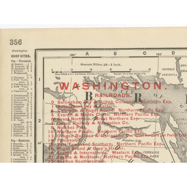
This antique map of Washington State is Rand McNally's 1899 plate from the firm's indexed atlas, printed in Chicago across …
Read more
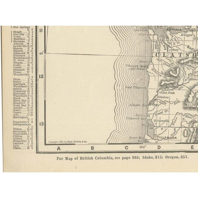
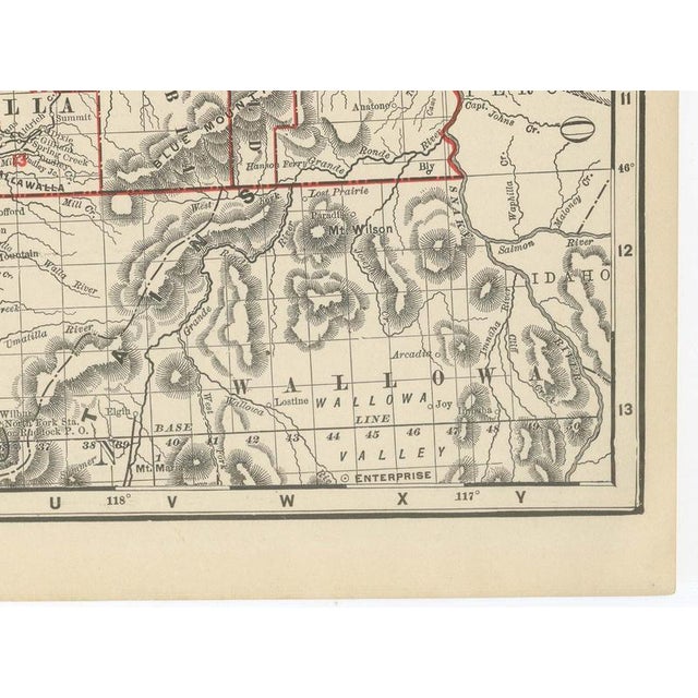
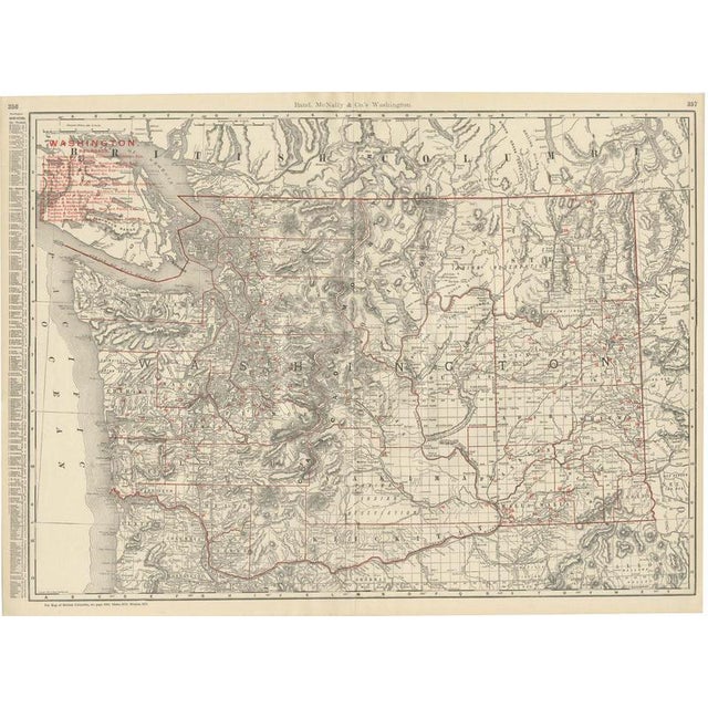
This antique map of Washington State is Rand McNally's 1899 plate from the firm's indexed atlas, printed in Chicago across a double-page spread, pages 356 and 357. It covers Washington in full and extends north into a strip of British Columbia, with a legend at upper left keying twenty-six named railroad lines by number, among them the Northern Pacific, the Great Northern and the Spokane Falls and Northern. Hachured relief marks the Cascade Range running north to south through the centre of the sheet, dividing the timbered, settled counties of the Puget Sound lowlands from the drier wheat country to the east. County boundaries are outlined in red, and reservation lands, among them the Colville, Spokane and Yakima Indian reservations, are labelled directly on the plate. Every incorporated town, however small, is set in the same fine roman type that gives Rand McNally atlases of this period their density of information. The sheet is a good example of the firm's commercial map production: the fine, even line work and the red overprinting for county lines and railroad numbers were both revisable year to year on the same plate, which is why an 1899 issue of this map differs in its rail network from an issue only a few years earlier or later. A statute mile and kilometre scale bar sits below the legend, and the imprint at the foot of the sheet carries the firm's 1899 copyright. Rand McNally grew from a Chicago printing business started in the 1850s by William Rand and joined by Andrew McNally, and by the 1890s it was one of the leading map publishers in the United States. This antique map of Washington is a colour lithograph, the outline printed in black with the colours printed over it, and an original 1899 atlas sheet, issued folded through the centre. It is suitable for framing. The colour is printed rather than applied by hand. The sheet is in good condition for its age, with light age toning, a few small pencil marks near the upper left title and the original central fold as issued. Please review the images for further condition details. This is an original antique map, not a modern reproduction. This item is sold unframed. Any framed or interior images are shown for presentation and inspiration only, unless the listing explicitly states that the item is sold framed. This piece is attributed to the mentioned designer/maker. It has no attribution mark and no
official proof of authenticity,
however it is well documented in design history. I take full responsibility for any authenticity
issues arising from misattribution
See less
- Dimensions
- 27.17ʺW × 20.47ʺH
- Period
- 19th Century
- Item Type
- Vintage, Antique or Pre-owned
- Materials
- Paper
- Condition
- Good Condition, Unknown, Some Imperfections
- Color
- Black
- Condition Notes
- Very Good — This vintage item has no defects, but it may show slight traces of use\. Light age toning, … moreVery Good — This vintage item has no defects, but it may show slight traces of use\. Light age toning, A few small pencil marks near the upper left title and the original central fold as issued less
Returns & Cancellations
Return Policy - All sales are final 48 hours after delivery, unless otherwise specified in the description of the product.
Cancellation Policy - Prior to shipping or local pickup, buyers may cancel an order for up to 48 hours, unless otherwise specified.