







Details
Description
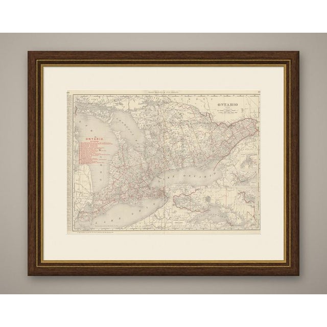
This antique map of Ontario is Rand McNally's principal map of the province in its 1899 indexed atlas, a double-page …
Read more
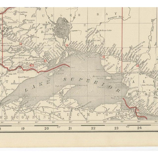
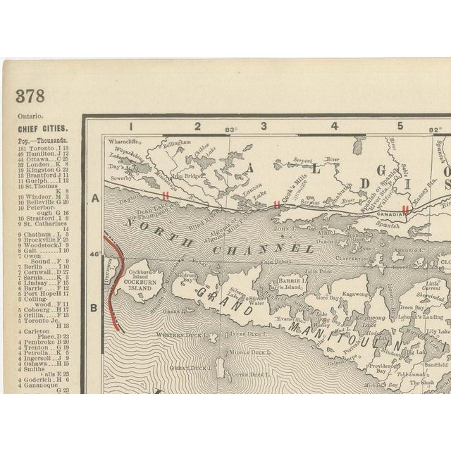
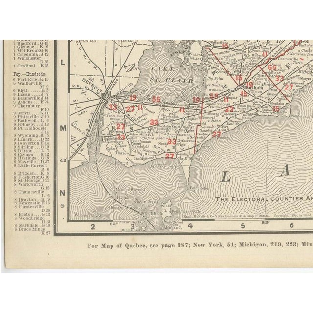
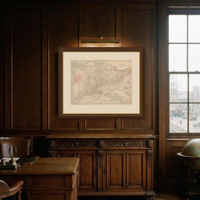
This antique map of Ontario is Rand McNally's principal map of the province in its 1899 indexed atlas, a double-page spread on pages 378 and 379 running from Georgian Bay and Lake Huron in the northwest to the Saint Lawrence and the Ottawa Valley in the east, and south along the whole shoreline of Lake Ontario and Lake Erie. A dense red railroad network, keyed by number to a legend of over twenty companies at upper left, among them the Grand Trunk, the Canadian Pacific, the Michigan Central, the Wabash and the Toronto, Hamilton and Buffalo, covers the settled peninsula between Toronto and Windsor, thinning noticeably north of the Muskoka and Parry Sound districts. Three insets add detail. At right, stacked one above another, small-scale plans of Ottawa and environs, a second urban inset, and Toronto and environs give street-level context to the principal cities. At lower centre, "Western Portion of Ontario" extends the map west past Sault Sainte Marie to the head of Lake Superior and the Manitoba border, an area too far west for the main frame. A note beneath the title explains that "the electoral counties are shown in tints," and the county pattern is indeed washed in alternating pale colour blocks to distinguish one riding from the next. Notes at the foot point to the adjoining Quebec, New York, Michigan and Minnesota maps. As with the other Canadian provincial sheets in the volume, the railroad detail, current to 1899, is the real point of interest: a decade of branch-line construction across southern Ontario is recorded at a level no smaller-scale continental map could match. Rand McNally grew from a Chicago printing business begun in the 1850s by William Rand and joined by Andrew McNally, and by the 1890s it was one of the leading map publishers in the United States, known for railroad maps revised from issue to issue. This antique map of Ontario is an original 1899 atlas sheet, printed as a colour lithograph with the outline in black and the colours printed over it, and issued folded through the centre. It is suitable for framing. The colour is printed rather than applied by hand. The sheet is in good condition for its age, with light, even age toning, clean margins and the original central fold as issued. Please review the images for further condition details. This is an original antique map, not a modern reproduction. This item is sold unframed. Any framed or interior images are shown for presentation and inspiration only, unless the listing explicitly states that the item is sold framed. This piece is attributed to the mentioned designer/maker. It has no attribution mark and no
official proof of authenticity,
however it is well documented in design history. I take full responsibility for any authenticity
issues arising from misattribution
See less
- Dimensions
- 27.17ʺW × 20.47ʺH
- Period
- 19th Century
- Item Type
- Vintage, Antique or Pre-owned
- Materials
- Paper
- Condition
- Good Condition, Unknown, Some Imperfections
- Color
- Black
- Condition Notes
- Very Good — This vintage item has no defects, but it may show slight traces of use\. Good condition for … moreVery Good — This vintage item has no defects, but it may show slight traces of use\. Good condition for its age. Light, even age toning, clean margins and the original central fold as issued. Please review the images for further condition details. less
Returns & Cancellations
Return Policy - All sales are final 48 hours after delivery, unless otherwise specified in the description of the product.
Cancellation Policy - Prior to shipping or local pickup, buyers may cancel an order for up to 48 hours, unless otherwise specified.