




Details
Description
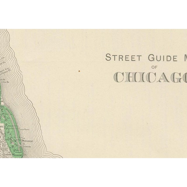
Rand McNally's hometown gets full treatment in this 1899 antique map of Chicago, the "Street Guide Map of Chicago" printed …
Read more
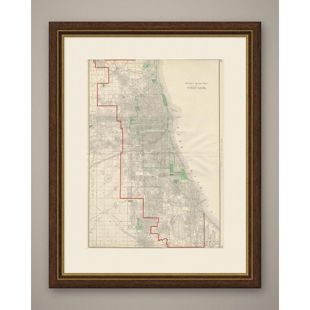
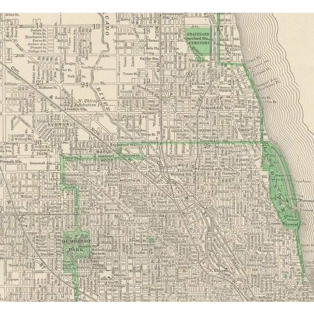
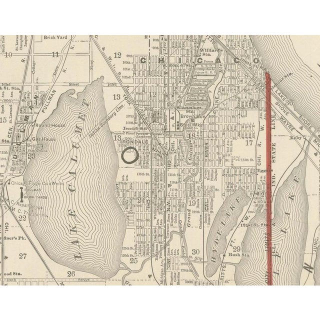
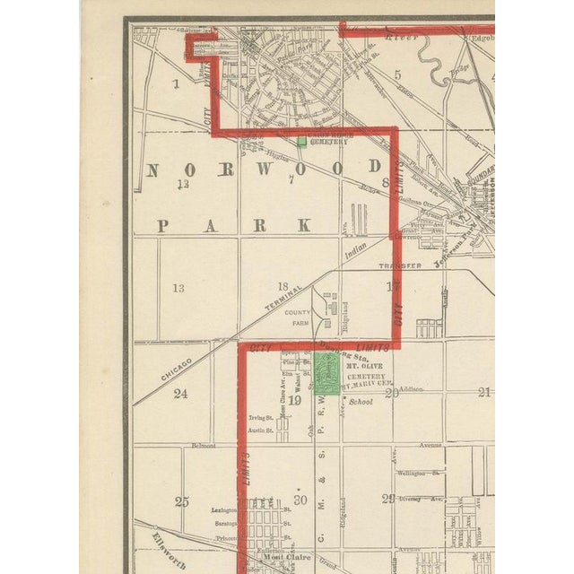
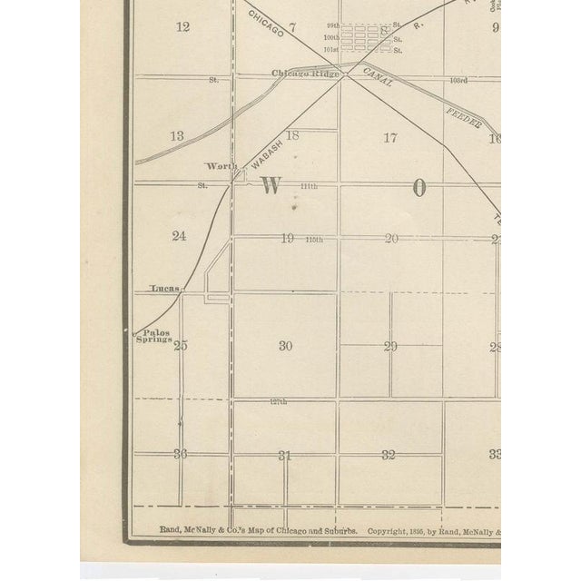
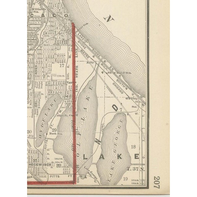
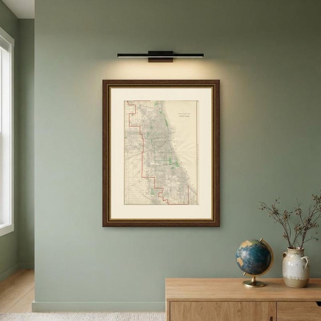
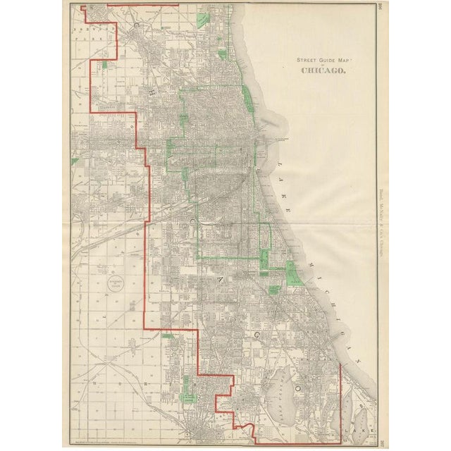
Rand McNally's hometown gets full treatment in this 1899 antique map of Chicago, the "Street Guide Map of Chicago" printed across pages 206 and 207 of the firm's indexed atlas and covering the whole city from Rogers Park to Pullman. The city limits of 1899 are traced in a heavy red line from Norwood Park and Rogers Park in the far north down through the West Side and the Stock Yards district to Pullman and the Indiana state line in the far south. Lake Michigan runs the length of the eastern edge, with the harbour, the breakwaters and the offshore crib water intakes all shown, and Lake Calumet appears as a distinct body of water in the southeast corner. The park system is picked out in green: Lincoln Park in the north, Garfield and Humboldt parks on the West Side, and Washington and Jackson parks with the connecting Midway Plaisance in the south, site of the World's Columbian Exposition of 1893 only a few years earlier. The street grid is drawn at a scale fine enough to name individual streets throughout the built-up area, without house numbers or ward colouring. Scale is read from the mile markers along the border grid rather than a single bar. As a street index map, its purpose was practical, helping the owner find a Chicago address or park, exactly the kind of utility that gave the firm's indexed atlases their name. Rand, McNally and Company grew out of a Chicago printing business started in the 1850s by William Rand, who was soon joined by Andrew McNally. By the 1890s the firm was one of the leading map publishers in the United States, and this sheet belongs squarely to the railroad and commercial maps it was known for, revised from issue to issue. Technically the sheet is a lithograph with printed colour: the outline was printed in black and the colours were printed over it, so none of the colouring was added by hand. Once framed, this antique map of Chicago would suit a home or office in the city today, and it will appeal to collectors of American city plans and local history. The sheet is in good condition for its age, with light age toning, the upper margin trimmed close to the border, minor edge wear and the original central fold as issued. Please review the images for further condition details. This is an original antique map, not a modern reproduction. This item is sold unframed. Any framed or interior images are shown for presentation and inspiration only, unless the listing explicitly states that the item is sold framed. This piece is attributed to the mentioned designer/maker. It has no attribution mark and no
official proof of authenticity,
however it is well documented in design history. I take full responsibility for any authenticity
issues arising from misattribution
See less
- Dimensions
- 20.47ʺW × 27.17ʺH
- Period
- 19th Century
- Item Type
- Vintage, Antique or Pre-owned
- Materials
- Paper
- Condition
- Good Condition, Unknown, Some Imperfections
- Color
- Black
- Condition Notes
- Very Good — This vintage item has no defects, but it may show slight traces of use\. Good condition for … moreVery Good — This vintage item has no defects, but it may show slight traces of use\. Good condition for its age. Light age toning, the upper margin trimmed close to the border, minor edge wear and the original central fold as issued. Please review the images for further condition details. less
Returns & Cancellations
Return Policy - All sales are final 48 hours after delivery, unless otherwise specified in the description of the product.
Cancellation Policy - Prior to shipping or local pickup, buyers may cancel an order for up to 48 hours, unless otherwise specified.