







Details
Description
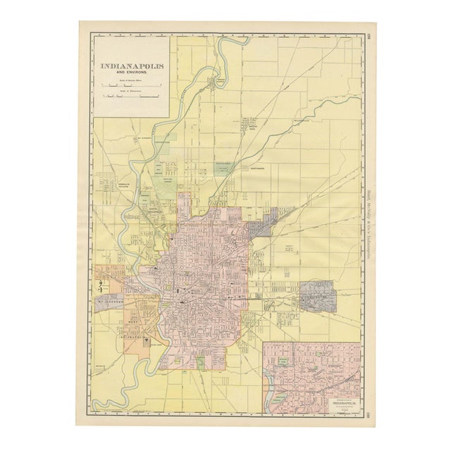
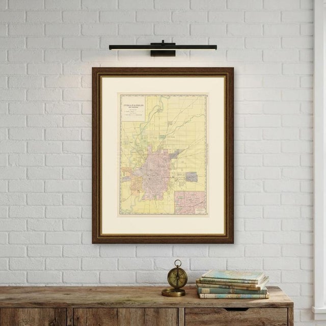
Covering far more than the built city, this antique map of Indianapolis by Rand McNally, 1899, is the firm's "Indianapolis …
Read more
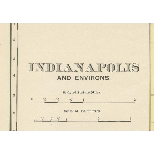
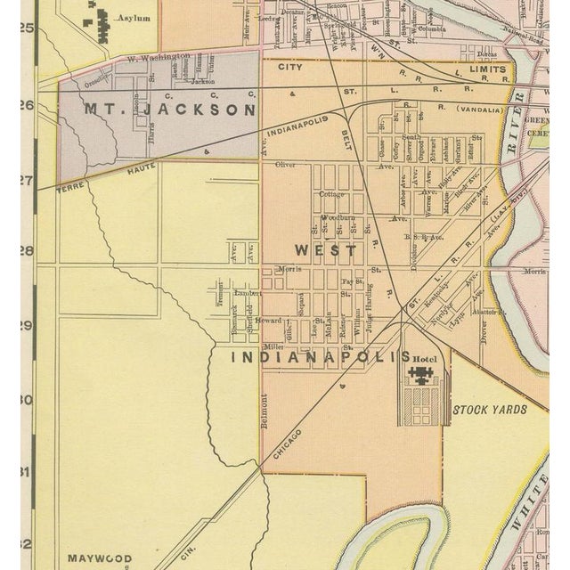
Covering far more than the built city, this antique map of Indianapolis by Rand McNally, 1899, is the firm's "Indianapolis and Environs", a double-page plan on pages 198 and 199 of the indexed atlas with an enlarged inset of the business district. Yellow-tinted township land extends to Broad Ripple in the north and Maywood in the southwest, with the looping White River traced the full length of the sheet. The city proper is printed in pink within its red limit line, and several outlying towns not yet annexed at this date, Woodruff Place and Irvington to the east, Haughville, Mount Jackson and West Indianapolis to the west, appear in a contrasting tint as distinct municipalities. Crown Hill Cemetery and the adjoining Crown Hill and Fairview parks are picked out in green in the north of the city, and the State Fair Grounds with its race course is marked at upper centre. The boxed inset at lower right, "Business Portion of Indianapolis, on Enlarged Scale", zooms into the downtown core around the Capitol, the Court House, the Soldiers' and Sailors' Monument on the Circle, and University and Military parks. Scale is given in statute miles and kilometres at upper left. The plan records the ring of satellite towns and the streetcar-era growth radiating from the Circle, just as electric interurban lines were beginning to link central Indiana's cities. Rand McNally's roots lie in a Chicago printing business started by William Rand in the 1850s and joined by Andrew McNally. The firm had become one of the foremost map publishers in the United States by the 1890s, and its indexed atlas of 1899 shows the house speciality at work: railroad and commercial maps revised from issue to issue. The sheet is a colour lithograph, the outline printed in black and every colour printed over it rather than applied by hand. Once framed, this antique map of Indianapolis would suit a home or office in the city today, and it will appeal to collectors of American city plans and local history. The sheet is in good condition for its age, with light, even age toning, a small spot in the right margin and the original central fold as issued. Please review the images for further condition details. This is an original antique map, not a modern reproduction. This item is sold unframed. Any framed or interior images are shown for presentation and inspiration only, unless the listing explicitly states that the item is sold framed. This piece is attributed to the mentioned designer/maker. It has no attribution mark and no
official proof of authenticity,
however it is well documented in design history. I take full responsibility for any authenticity
issues arising from misattribution
See less
- Dimensions
- 20.47ʺW × 27.17ʺH
- Period
- 19th Century
- Item Type
- Vintage, Antique or Pre-owned
- Materials
- Paper
- Condition
- Good Condition, Unknown, Some Imperfections
- Color
- Black
- Condition Notes
- Very Good — This vintage item has no defects, but it may show slight traces of use\. Good condition for … moreVery Good — This vintage item has no defects, but it may show slight traces of use\. Good condition for its age. Light, even age toning, a small spot in the right margin and the original central fold as issued. Please review the images for further condition details. less
Returns & Cancellations
Return Policy - All sales are final 48 hours after delivery, unless otherwise specified in the description of the product.
Cancellation Policy - Prior to shipping or local pickup, buyers may cancel an order for up to 48 hours, unless otherwise specified.