






Details
Description
An original antique map of the central United States from the 1899 Rand McNally indexed atlas, this double-page sheet is …
Read more
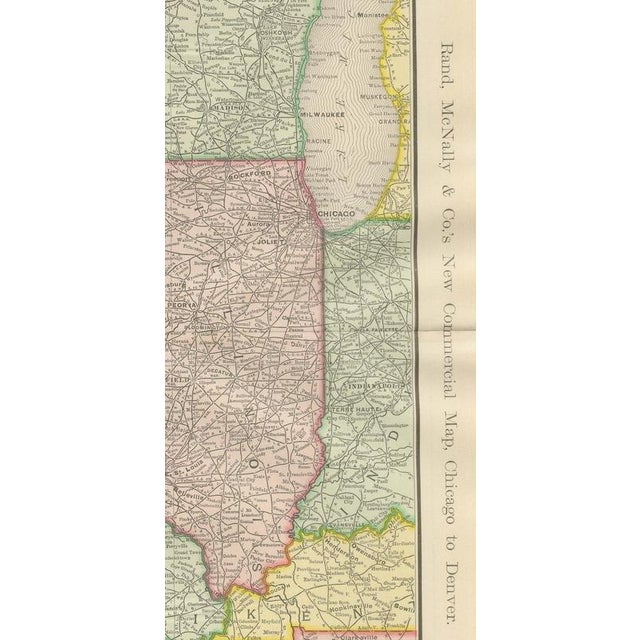
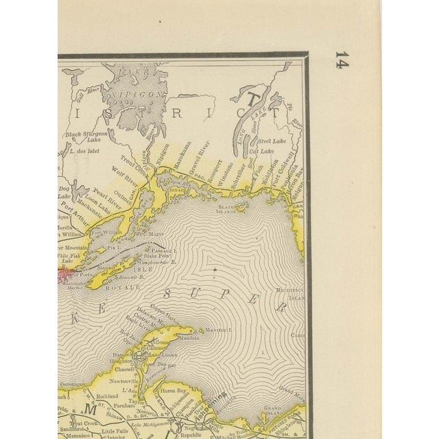
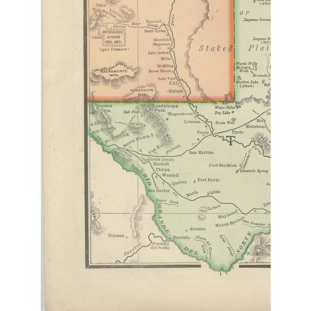
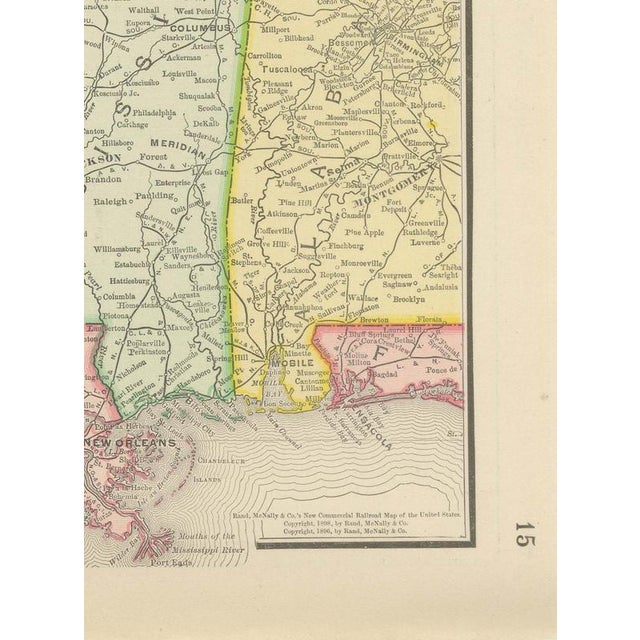
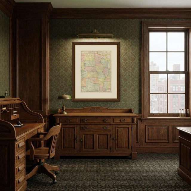
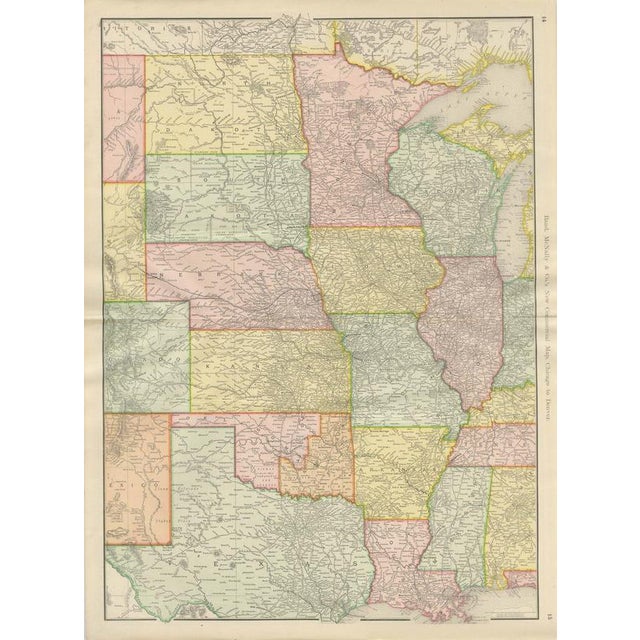
An original antique map of the central United States from the 1899 Rand McNally indexed atlas, this double-page sheet is the firm's "New Commercial Map, Chicago to Denver", printed across pages 14 and 15 and covering the plains states in one continuous view. The map runs from the Dakotas and Minnesota in the north down through Nebraska, Iowa, Kansas, Missouri and Illinois to Indian Territory, Arkansas and the northern edges of Texas and Louisiana at the foot of the sheet, each state or territory in its own pastel tint. The Standing Rock, Cheyenne River, Pine Ridge and Rosebud Indian reservations are named and outlined across South Dakota, still under federal rather than state administration at this date. Indian Territory, in the lower centre, is subdivided and labelled by the nations then grouped as the Five Civilized Tribes, the Cherokee, Creek, Choctaw and Chickasaw, with the Kiowa, Comanche and Apache reservation further west, all drawn without the county grid given to the surrounding states, a plain cartographic marker of the territory's unincorporated status. The rail network thickens visibly towards the east and south, from the widely spaced lines of the Dakota plains to the dense mesh over Illinois and Missouri, while the Llano Estacado, or Staked Plains, of the Texas panhandle appear in the lower left corner largely empty of settlement. Its purpose was to give a single working view of rail and commercial geography across the whole corridor from Chicago to Denver. Rand, McNally and Company, the Chicago firm that issued the 1899 indexed atlas, grew from the printing business William Rand started in the 1850s, later joined by Andrew McNally. By the 1890s it was among the leading map publishers in the United States, known for railroad and commercial maps revised with each new issue. Technically the sheet is a lithograph with printed colour: the outline was printed in black and the colours were printed over it, so none of the colouring was added by hand. Once framed, this antique map of the central United States makes a strong wall piece for a study, library or office, and it will appeal to collectors of American railroad and commercial cartography. The sheet is in good condition for its age, with light age toning, a small dark mark in the upper left margin, a few faint spots and the original central fold as issued. Please review the images for further condition details. This is an original antique map, not a modern reproduction. This item is sold unframed. Any framed or interior images are shown for presentation and inspiration only, unless the listing explicitly states that the item is sold framed. This piece is attributed to the mentioned designer/maker. It has no attribution mark and no
official proof of authenticity,
however it is well documented in design history. I take full responsibility for any authenticity
issues arising from misattribution
See less
- Dimensions
- 20.47ʺW × 27.17ʺH
- Period
- 19th Century
- Item Type
- Vintage, Antique or Pre-owned
- Materials
- Paper
- Condition
- Good Condition, Unknown, Some Imperfections
- Color
- Black
- Condition Notes
- Very Good — This vintage item has no defects, but it may show slight traces of use\. Good condition for … moreVery Good — This vintage item has no defects, but it may show slight traces of use\. Good condition for its age. Light age toning, a small dark mark in the upper left margin, a few faint spots and the original central fold as issued. Please review the images for further condition details. less
Returns & Cancellations
Return Policy - All sales are final 48 hours after delivery, unless otherwise specified in the description of the product.
Cancellation Policy - Prior to shipping or local pickup, buyers may cancel an order for up to 48 hours, unless otherwise specified.