





Details
Description
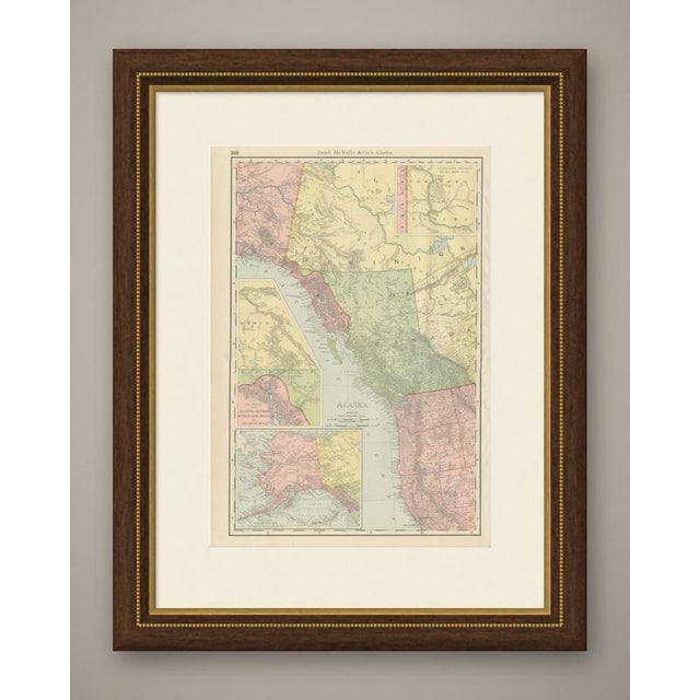
An antique map of Alaska drawn up while the Klondike rush was still news, this sheet is numbered 360 in …
Read more
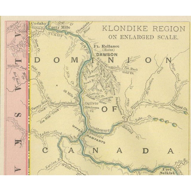
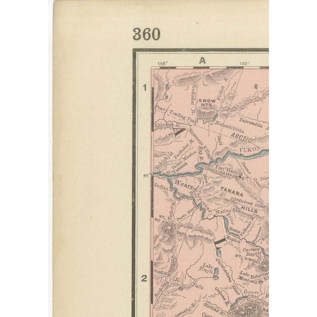
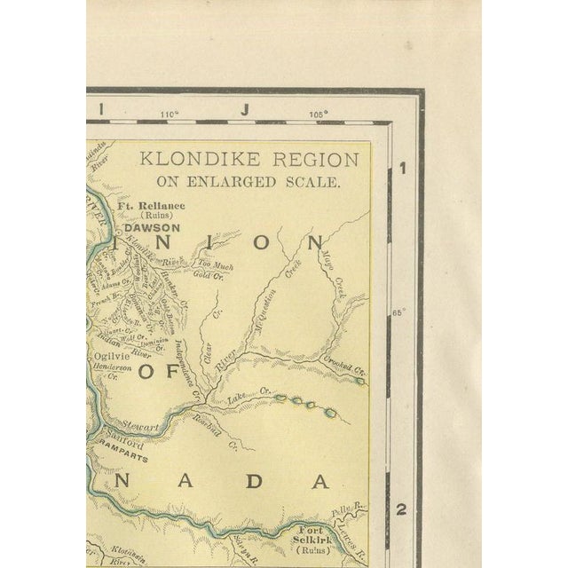
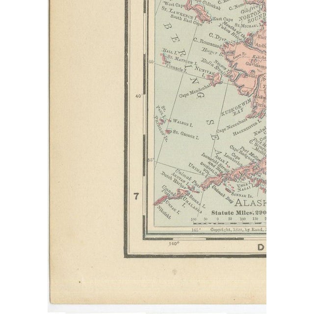
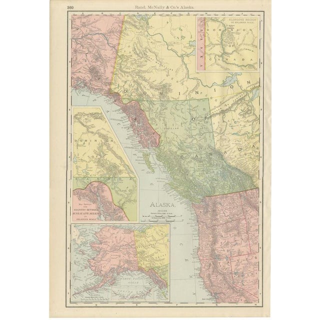
An antique map of Alaska drawn up while the Klondike rush was still news, this sheet is numbered 360 in Rand McNally's 1899 indexed atlas and covers the whole of the Alaska panhandle and the adjoining British and Canadian territory. It is printed in the firm's characteristic pastel washes: pink for United States ground, pale yellow for the Yukon and North West Territory, and green for British Columbia. The Alexander Archipelago and Sitka sit at the centre, with the Queen Charlotte Islands and the coastal ranges rendered in fine hachuring that picks out the Coast Mountains running north from Vancouver Island. Three insets carry the real interest of the plate. At upper right, "Klondike Region on Enlarged Scale" zooms into Dawson and Fort Reliance on the Yukon River, a direct response to the gold rush that had drawn prospectors north only two or three years before this issue went to press. A second inset, "Map Showing the Country Between Juneau and Fort Selkirk on Enlarged Scale," traces the Dyea and Skaguay trailheads used to reach the goldfields, and a third, a smaller-scale general map of Alaska with the Bering Sea, sits at lower left. The plate is dated 1899 in its copyright line and carries the statute-mile and kilometre scale bars standard to the atlas. Because Rand McNally revised its plates from one printing to the next, a sheet like this is essentially a dated bulletin on how a region much in the news was being mapped for a general atlas audience while the rush was still current. The firm grew from a Chicago printing business started in the 1850s by William Rand and joined by Andrew McNally, and by the 1890s it was one of the leading map publishers in the United States. This antique map of Alaska is a colour lithograph, the outline printed in black with the colours printed over it, and an original 1899 atlas sheet. It is suitable for framing. The colour is printed rather than applied by hand. The sheet is in good condition for its age, with light age toning, a few small spots in the margins and minor handling wear to the sheet edges. Please review the images for further condition details. This is an original antique map, not a modern reproduction. This item is sold unframed. Any framed or interior images are shown for presentation and inspiration only, unless the listing explicitly states that the item is sold framed. This piece is attributed to the mentioned designer/maker. It has no attribution mark and no
official proof of authenticity,
however it is well documented in design history. I take full responsibility for any authenticity
issues arising from misattribution
See less
- Dimensions
- 14.17ʺW × 20.47ʺH
- Period
- 19th Century
- Item Type
- Vintage, Antique or Pre-owned
- Materials
- Paper
- Condition
- Good Condition, Unknown, Some Imperfections
- Color
- Black
- Condition Notes
- Very Good — This vintage item has no defects, but it may show slight traces of use\. Light age toning, … moreVery Good — This vintage item has no defects, but it may show slight traces of use\. Light age toning, a few small spots in the margins and minor handling wear to the sheet edges less
Returns & Cancellations
Return Policy - All sales are final 48 hours after delivery, unless otherwise specified in the description of the product.
Cancellation Policy - Prior to shipping or local pickup, buyers may cancel an order for up to 48 hours, unless otherwise specified.