






Details
Description
An antique map of British Columbia from page 365 of Rand McNally's 1899 indexed atlas, this sheet covers the southern …
Read more
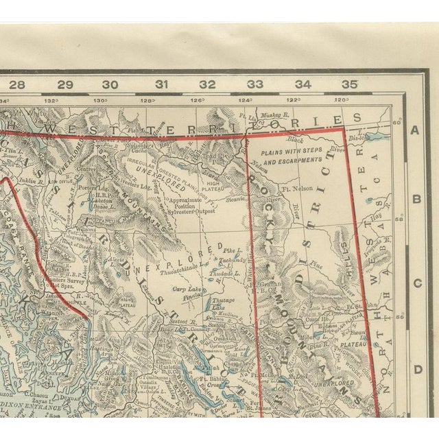
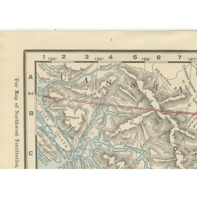
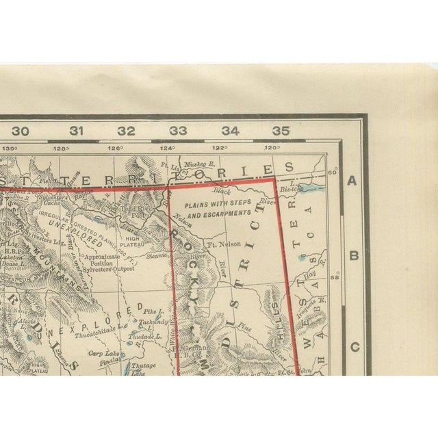
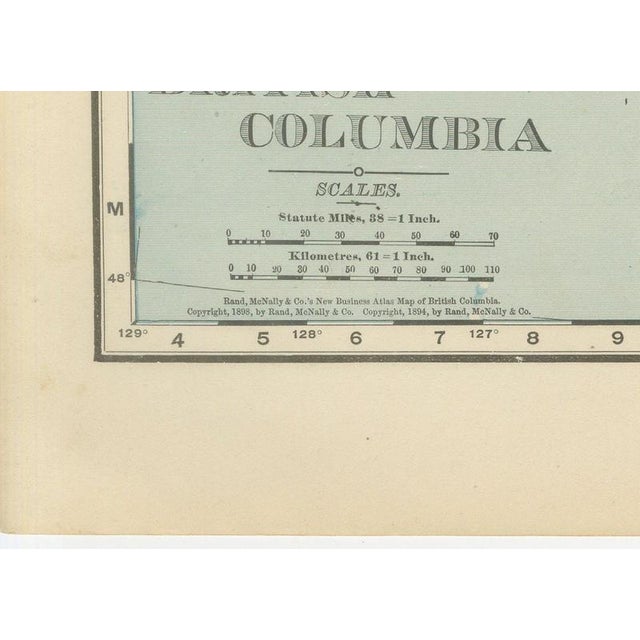
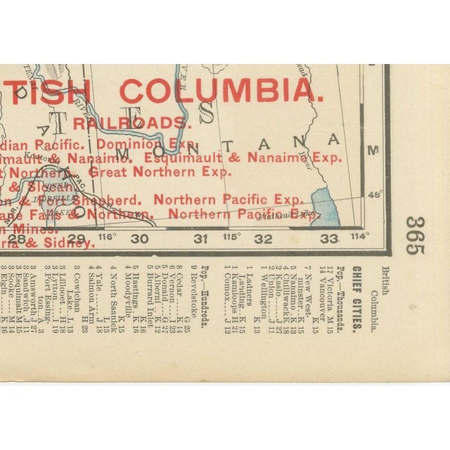
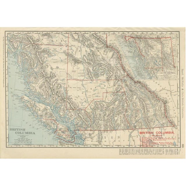
An antique map of British Columbia from page 365 of Rand McNally's 1899 indexed atlas, this sheet covers the southern and central interior of the province rather than the whole of it: the Cariboo, Lillooet, Yale and Kootenay districts fill the main map, with Vancouver Island and the Gulf of Georgia at lower left and Victoria, Nanaimo and Esquimalt marked along the coast. An inset at upper right, captioned "Northern Part of British Columbia" and drawn on a smaller scale, extends the coverage north to Sitka and the Alaska panhandle boundary. The province is left largely uncoloured, its mountain ranges rendered entirely in the dense grey hachuring typical of the firm's relief work rather than the flat printed tints used on its political maps; only the international and provincial boundary lines are picked out in red. A red-lettered railroad key at lower right numbers nine lines then in operation or under construction, including the Canadian Pacific main line and the Esquimalt and Nanaimo, the Nelson and Fort Sheppard and the Victoria and Sidney branches, each keyed by number across the sheet. The Fraser and Thompson river systems and the Gold Range and Selkirk Mountains are named across the mountainous interior, along with grazing and agricultural notes such as "Good Hay Meadows" and "Wooded Plateau" that reflect the settlement information atlases of this period tried to convey alongside pure topography. Scale is given as 58 statute miles to the inch on the main map, with the northern inset at a smaller scale of its own. Rand McNally grew from a Chicago printing business started in the 1850s by William Rand and joined by Andrew McNally, and by the 1890s it was one of the leading map publishers in the United States, known for railroad maps revised from issue to issue. This antique map of British Columbia is a colour lithograph, the outline printed in black with the red printed over it, and an original 1899 atlas sheet. It is suitable for framing. The colour is printed rather than applied by hand. The sheet is in good condition for its age, with light age toning, slightly deeper at the sheet edges, clean margins and minor handling wear. Please review the images for further condition details. This is an original antique map, not a modern reproduction. This item is sold unframed. Any framed or interior images are shown for presentation and inspiration only, unless the listing explicitly states that the item is sold framed. This piece is attributed to the mentioned designer/maker. It has no attribution mark and no
official proof of authenticity,
however it is well documented in design history. I take full responsibility for any authenticity
issues arising from misattribution
See less
- Dimensions
- 20.47ʺW × 14.17ʺH
- Period
- 19th Century
- Item Type
- Vintage, Antique or Pre-owned
- Materials
- Paper
- Condition
- Good Condition, Unknown, Some Imperfections
- Color
- Black
- Condition Notes
- Very Good — This vintage item has no defects, but it may show slight traces of use\. Good condition for … moreVery Good — This vintage item has no defects, but it may show slight traces of use\. Good condition for its age. Light age toning, slightly deeper at the sheet edges, clean margins and minor handling wear. Please review the images for further condition details. less
Returns & Cancellations
Return Policy - All sales are final 48 hours after delivery, unless otherwise specified in the description of the product.
Cancellation Policy - Prior to shipping or local pickup, buyers may cancel an order for up to 48 hours, unless otherwise specified.