



Details
Description
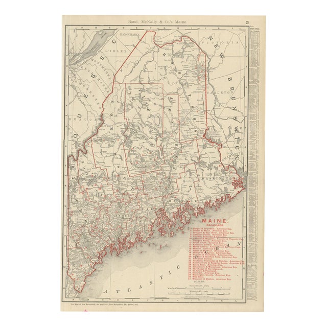
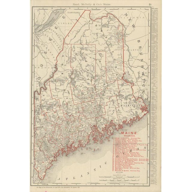
Here is an antique map of Maine from the 1899 Rand McNally indexed atlas, printed on page 21 and mapping …
Read more
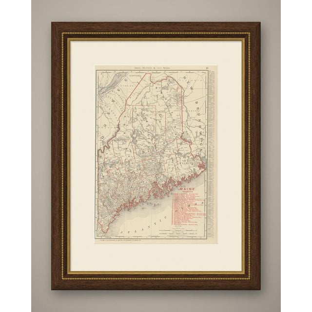
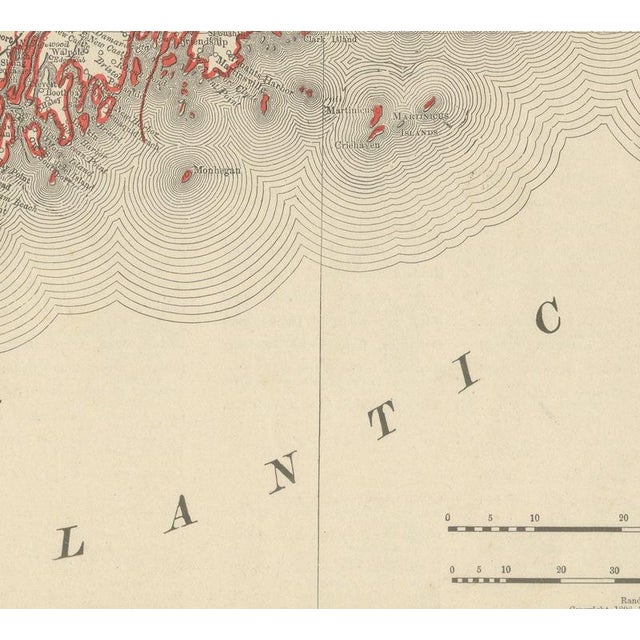
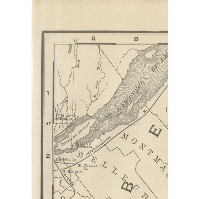
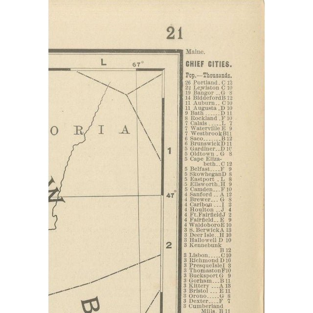
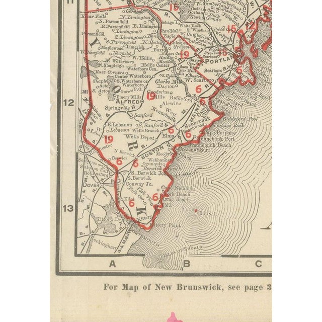
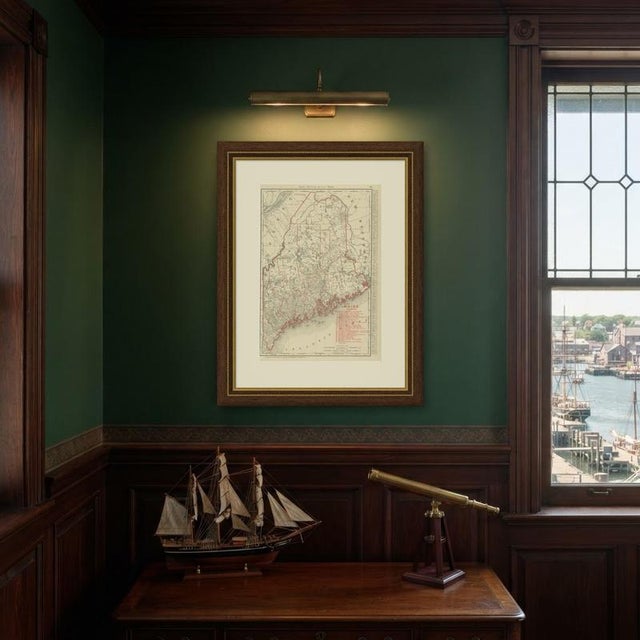
Here is an antique map of Maine from the 1899 Rand McNally indexed atlas, printed on page 21 and mapping the whole state from the island-studded Atlantic coast to the Quebec and New Brunswick frontier. In the south the deeply indented shore around Bar Harbor and Penobscot Bay is drawn with its countless coves, points and offshore islands in fine detail, and the southern coastal counties are mapped town by town. Northward the map opens into the vast, thinly settled timber counties of Piscataquis, Somerset and Aroostook, where Moosehead Lake and the headwater lakes of the Penobscot and Saint John rivers are named across an interior with comparatively few roads and settlements. A numbered key to thirty-one railroad companies runs down the lower right corner, matching the lines that reach well up into the Aroostook potato country and out to the Rangeley Lakes resort district in the west, while a list of the state's chief cities and towns with their populations fills the right margin. County lines are printed in red over pale county tints. Scale bars in statute miles and kilometres sit above the title, and a note at the foot of the sheet directs the reader to the adjoining plates for New Brunswick, New Hampshire and Quebec. The publisher, Rand, McNally and Company of Chicago, began as a printing business founded by William Rand in the 1850s and joined by Andrew McNally. By the time of the 1899 indexed atlas it ranked among the leading American map publishers, known above all for railroad and commercial maps that were revised from one issue to the next. In technique it is a lithograph printed in colour, with the black outline printed first and the pastel colours printed over it. Once framed, this antique map of Maine would suit a home or office in the state today, and it will appeal to collectors of American state maps and railroad history. The sheet is in good condition for its age, with light age toning, a small pink mark in the lower margin, a few faint spots and minor handling wear to the sheet edges. Please review the images for further condition details. This is an original antique map, not a modern reproduction. This item is sold unframed. Any framed or interior images are shown for presentation and inspiration only, unless the listing explicitly states that the item is sold framed. This piece is attributed to the mentioned designer/maker. It has no attribution mark and no
official proof of authenticity,
however it is well documented in design history. I take full responsibility for any authenticity
issues arising from misattribution
See less
- Dimensions
- 14.17ʺW × 20.47ʺH
- Period
- 19th Century
- Item Type
- Vintage, Antique or Pre-owned
- Materials
- Paper
- Condition
- Good Condition, Unknown, Some Imperfections
- Color
- Black
- Condition Notes
- Very Good — This vintage item has no defects, but it may show slight traces of use\. Light age toning, … moreVery Good — This vintage item has no defects, but it may show slight traces of use\. Light age toning, A small pink mark in the lower margin, A few faint spots and minor handling wear to the sheet edges less
Returns & Cancellations
Return Policy - All sales are final 48 hours after delivery, unless otherwise specified in the description of the product.
Cancellation Policy - Prior to shipping or local pickup, buyers may cancel an order for up to 48 hours, unless otherwise specified.