




Details
Description
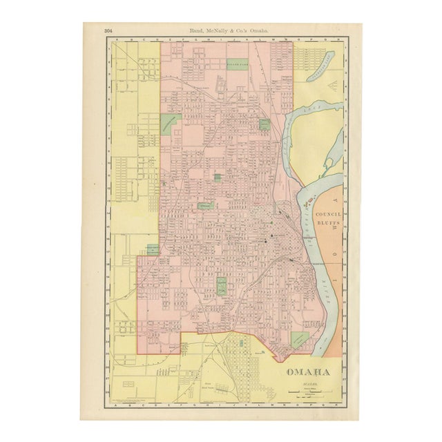
An antique map of Omaha, Nebraska, published by Rand McNally in 1899 on page 304 of its indexed atlas, this …
Read more
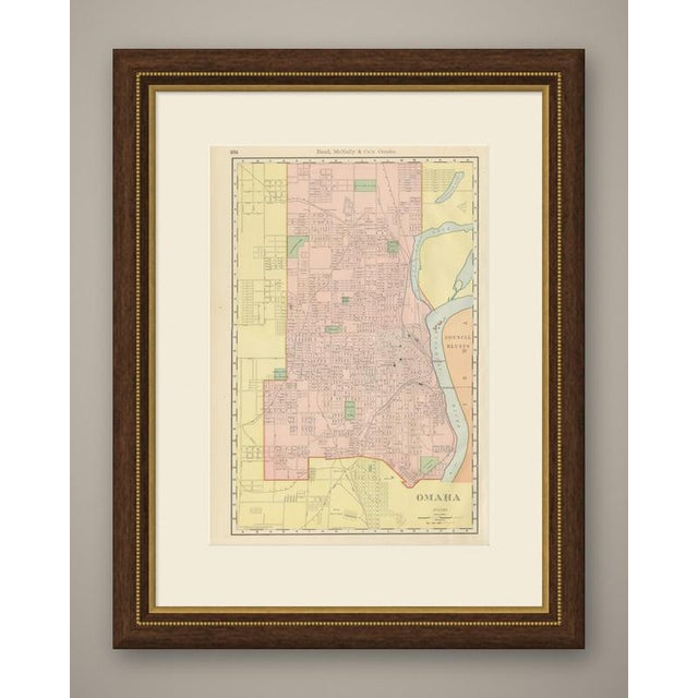
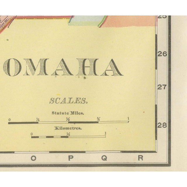
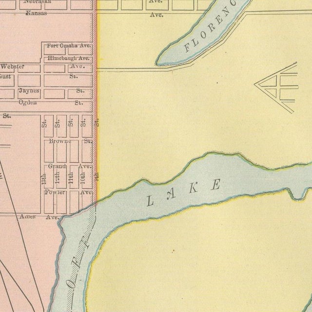
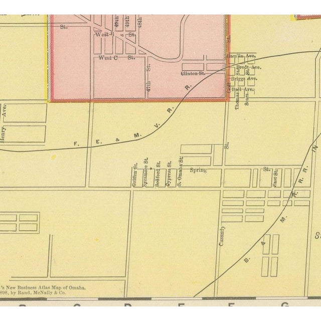
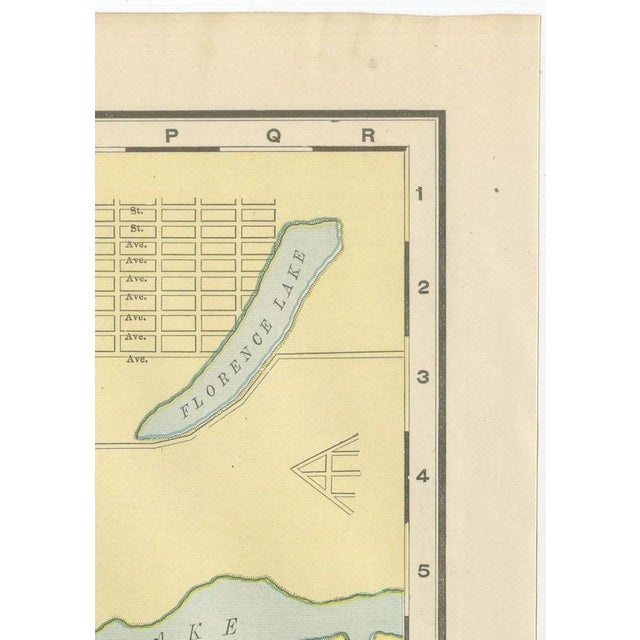
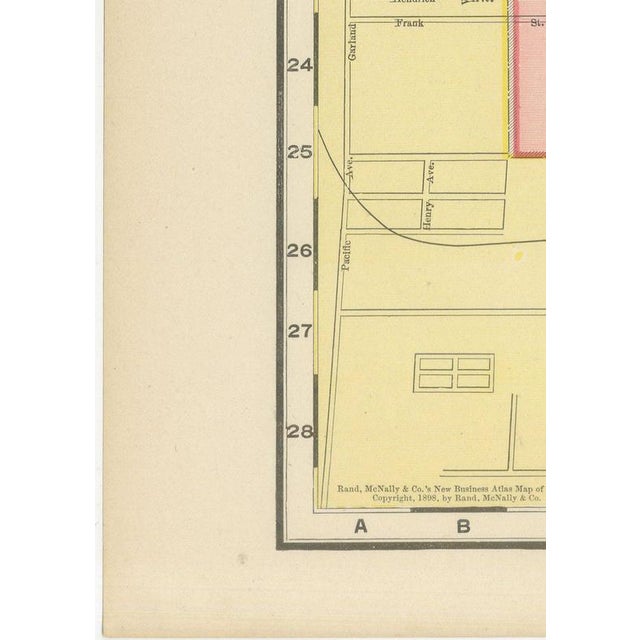
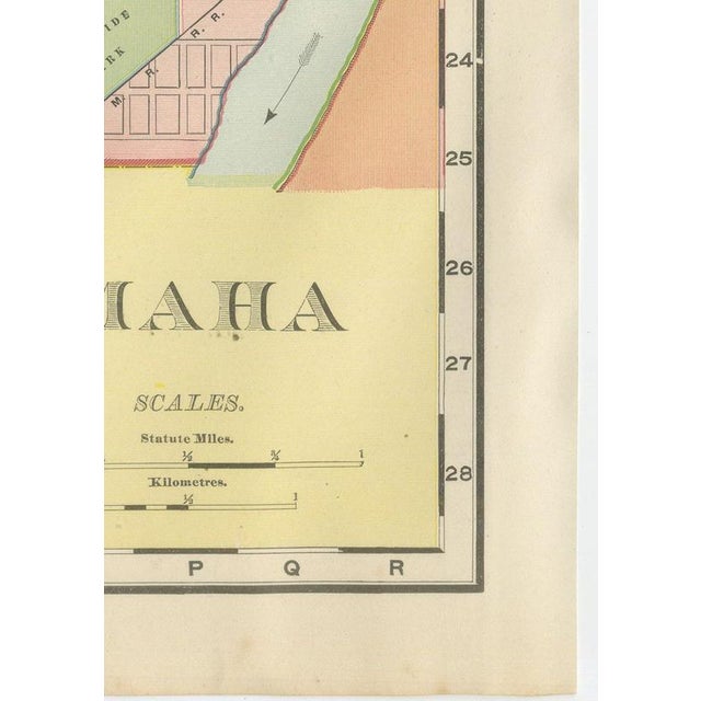
An antique map of Omaha, Nebraska, published by Rand McNally in 1899 on page 304 of its indexed atlas, this street plan runs from the built core of the city, washed pink and bounded by a red city-limit line, out into the surrounding yellow-tinted county land on both the north and south sides, with the separate subdivision grid of South Omaha and the Union Stock Yards at the foot of the sheet. The Missouri River runs down the right-hand side, with Council Bluffs, Iowa, tinted a contrasting orange, and Florence Lake and the looping oxbow slough labelled "Cut Off Lake" both mapped in the old channels of the river north of the city. The Omaha park system is picked out in green, with Miller Park, Fontenelle Park, Hanscom Park and Riverview Park among them, along with Prospect Hill Cemetery and the Catholic Cemetery of the Holy Sepulchre. Fort Omaha is marked at upper centre, and the dense grid of the downtown business district, with the Post Office, City Hall, Court House and Union Depot all named, is threaded by rail lines converging on the river crossings to Council Bluffs. Scale is given in statute miles and kilometres at lower right, and the plate carries both an 1894 and an 1899 copyright line, evidence that the Omaha plan was kept current with successive small revisions across several printings rather than redrawn from scratch. As a city street plan the sheet has no railroad colour key of its own; its value lies in the ward-by-ward street detail typical of the atlas's city plans. Rand McNally grew from a Chicago printing business begun in the 1850s by William Rand and joined by Andrew McNally, and it was known by the 1890s for maps revised from issue to issue. This antique map of Omaha is a colour lithograph, the outline printed in black with the colours printed over it, and an original 1899 atlas sheet. It is suitable for framing. The colour is printed rather than applied by hand. The sheet is in good condition for its age, with light age toning, deeper toward the sheet edges, a few small spots in the margins and minor edge wear. Please review the images for further condition details. This is an original antique map, not a modern reproduction. This item is sold unframed. Any framed or interior images are shown for presentation and inspiration only, unless the listing explicitly states that the item is sold framed. This piece is attributed to the mentioned designer/maker. It has no attribution mark and no
official proof of authenticity,
however it is well documented in design history. I take full responsibility for any authenticity
issues arising from misattribution
See less
- Dimensions
- 14.17ʺW × 20.47ʺH
- Period
- 19th Century
- Item Type
- Vintage, Antique or Pre-owned
- Materials
- Paper
- Condition
- Good Condition, Unknown, Some Imperfections
- Color
- Black
- Condition Notes
- Very Good — This vintage item has no defects, but it may show slight traces of use\. Light age toning, … moreVery Good — This vintage item has no defects, but it may show slight traces of use\. Light age toning, deeper toward the sheet edges, a few small spots in the margins and minor edge wear less
Returns & Cancellations
Return Policy - All sales are final 48 hours after delivery, unless otherwise specified in the description of the product.
Cancellation Policy - Prior to shipping or local pickup, buyers may cancel an order for up to 48 hours, unless otherwise specified.