






Details
Description
An antique map of Central America printed by Rand McNally in 1899 across pages 404 and 405 of its indexed …
Read more
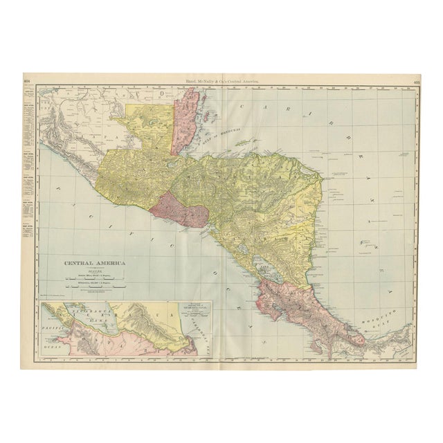
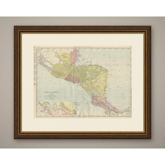
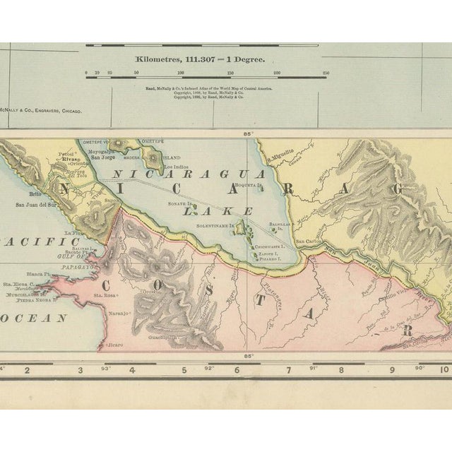
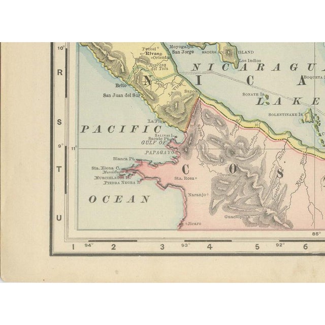
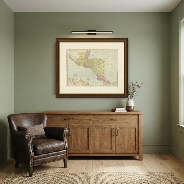
An antique map of Central America printed by Rand McNally in 1899 across pages 404 and 405 of its indexed atlas, this sheet covers the isthmus from the Mexican state of Chiapas and the Yucatan Peninsula in the northwest down through Guatemala, British Honduras, Honduras, Salvador, Nicaragua and Costa Rica to the Panama border in the southeast. Each republic and colony is washed in a distinct pastel tint, yellow for Guatemala and Honduras, orange-pink for British Honduras and Salvador, and pink again for Costa Rica, with population tables for the chief cities of each country down the left margin. The most historically pointed feature is the inset at lower left, "Map Showing Proposed Line of Nicaragua Canal," which traces a canal route from Greytown on the Caribbean, across Lake Nicaragua, to the Pacific coast. In 1899 this route, not the one eventually built across Panama, was the leading American proposal for an interoceanic canal, and its appearance here as a serious cartographic feature rather than a footnote shows how live the question still was when this sheet was printed; the Panama route would not be selected until 1902, and the canal itself was not completed until 1914. Lake Nicaragua and Lake Managua dominate the centre of the main map, and the volcanic cordillera running the length of the isthmus is rendered in continuous hachured relief. Scale is given as 69.16 statute miles to a degree, and a note at lower left directs the reader to the adjoining Mexico sheet. Rand McNally, which grew from William Rand's Chicago printing business of the 1850s after Andrew McNally joined it, was by the 1890s one of the leading map publishers in the United States. This antique map of Central America is a colour lithograph, the outline printed in black with the original political colours printed over it, and an original 1899 atlas sheet, issued folded through the centre. It is suitable for framing. The colour is printed rather than applied by hand. The sheet is in good condition for its age, with light age toning, deeper toward the edges, a few small spots and the original central fold as issued. Please review the images for further condition details. This is an original antique map, not a modern reproduction. This item is sold unframed. Any framed or interior images are shown for presentation and inspiration only, unless the listing explicitly states that the item is sold framed. This piece is attributed to the mentioned designer/maker. It has no attribution mark and no
official proof of authenticity,
however it is well documented in design history. I take full responsibility for any authenticity
issues arising from misattribution
See less
- Dimensions
- 27.17ʺW × 20.47ʺH
- Period
- 19th Century
- Item Type
- Vintage, Antique or Pre-owned
- Materials
- Paper
- Condition
- Good Condition, Unknown, Some Imperfections
- Color
- Black
- Condition Notes
- Very Good — This vintage item has no defects, but it may show slight traces of use\. Light age toning, … moreVery Good — This vintage item has no defects, but it may show slight traces of use\. Light age toning, deeper toward the edges, a few small spots and the original central fold as issued less
Returns & Cancellations
Return Policy - All sales are final 48 hours after delivery, unless otherwise specified in the description of the product.
Cancellation Policy - Prior to shipping or local pickup, buyers may cancel an order for up to 48 hours, unless otherwise specified.