





Details
Description
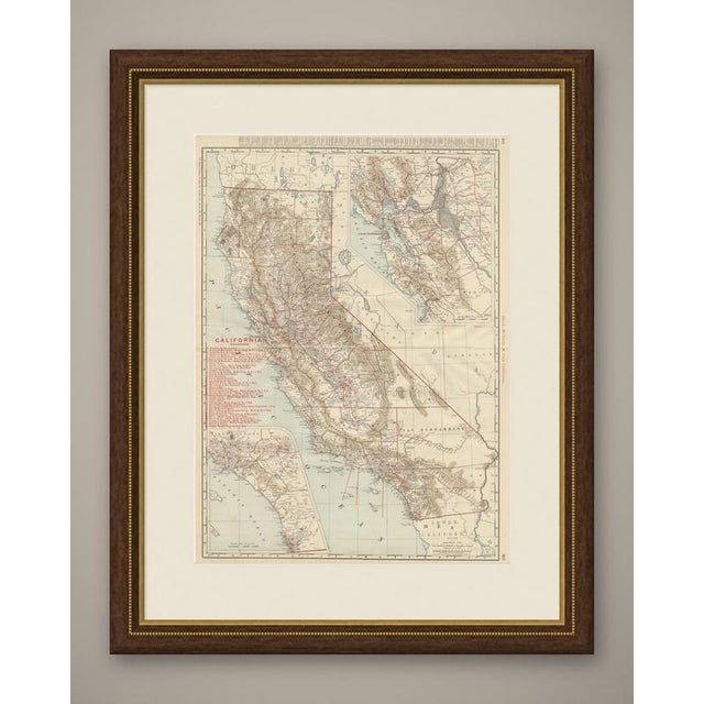
This is Rand McNally's antique map of California from the 1899 indexed atlas, a double-page spread covering the entire state …
Read more
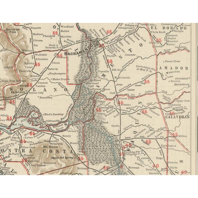
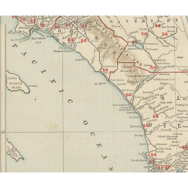
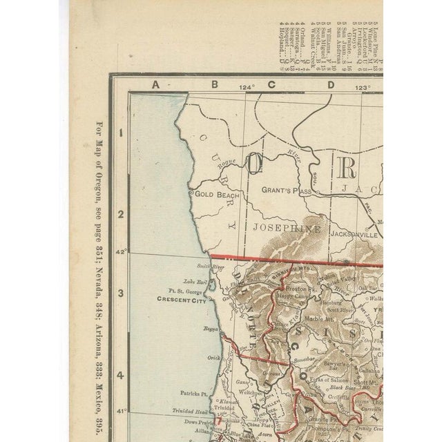
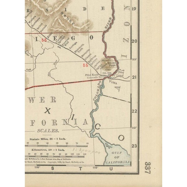
This is Rand McNally's antique map of California from the 1899 indexed atlas, a double-page spread covering the entire state from the Oregon border to the Mexican line, with county boundaries in red and the Sierra Nevada, Coast Ranges and Central Valley in the atlas's finely hachured relief. A long red railroad legend at upper left, numbering close to forty lines, records the network in fine detail: the several divisions of the Southern Pacific, the Santa Fe, the North Pacific Coast and the California Northwestern serving Marin and Sonoma counties, and a scatter of short logging and resort lines including the Mill Valley and Mount Tamalpais Scenic Railway and the Bodie Railway and Lumber Company. Two insets extend the coverage beyond the main scale. At upper right, the San Francisco Bay Area, with Alameda, Contra Costa, Solano, Napa and Sonoma counties, is shown enlarged with Sacramento and the head of the Delta included. At lower left, the whole of Southern California, with Los Angeles, San Bernardino, Riverside, Orange, San Diego and the Channel Islands, is mapped at a matching enlarged scale, reflecting the population growth that region was already seeing by the end of the 1890s, well ahead of the boom the following century would bring. The Mojave and Colorado deserts in the southeast and the Modoc Plateau in the extreme northeast are shown comparatively bare of detail, a fair reflection of how thinly those areas were settled, in contrast to the dense place-name coverage down the Central Valley and the coast. Scale on the main map is given as 32 statute miles to the inch. Rand McNally grew from a Chicago printing business started in the 1850s by William Rand and joined by Andrew McNally, and by the 1890s it was one of the leading map publishers in the United States, known for railroad maps revised from issue to issue. This antique map of California is an original 1899 atlas sheet, printed as a colour lithograph with the outline in black and the colours printed over it, and issued folded through the centre. It is suitable for framing. The colour is printed rather than applied by hand. The sheet is in good condition for its age, with light age toning, deeper along the left edge, a faint pencil annotation near the lower right scale and the original central fold as issued. Please review the images for further condition details. This is an original antique map, not a modern reproduction. This item is sold unframed. Any framed or interior images are shown for presentation and inspiration only, unless the listing explicitly states that the item is sold framed. This piece is attributed to the mentioned designer/maker. It has no attribution mark and no
official proof of authenticity,
however it is well documented in design history. I take full responsibility for any authenticity
issues arising from misattribution
See less
- Dimensions
- 20.47ʺW × 27.17ʺH
- Period
- 19th Century
- Item Type
- Vintage, Antique or Pre-owned
- Materials
- Paper
- Condition
- Good Condition, Unknown, Some Imperfections
- Color
- Black
- Condition Notes
- Very Good — This vintage item has no defects, but it may show slight traces of use\. Light age toning, … moreVery Good — This vintage item has no defects, but it may show slight traces of use\. Light age toning, deeper along the left edge, A faint pencil annotation near the lower right scale and the original central fold as issued less
Returns & Cancellations
Return Policy - All sales are final 48 hours after delivery, unless otherwise specified in the description of the product.
Cancellation Policy - Prior to shipping or local pickup, buyers may cancel an order for up to 48 hours, unless otherwise specified.