



Details
Description
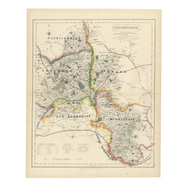
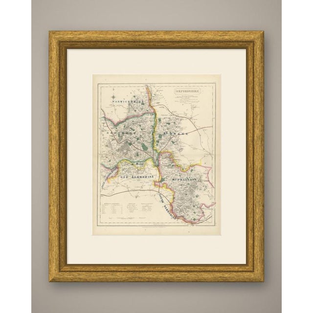
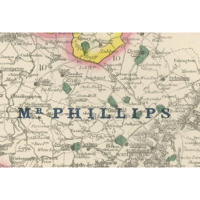
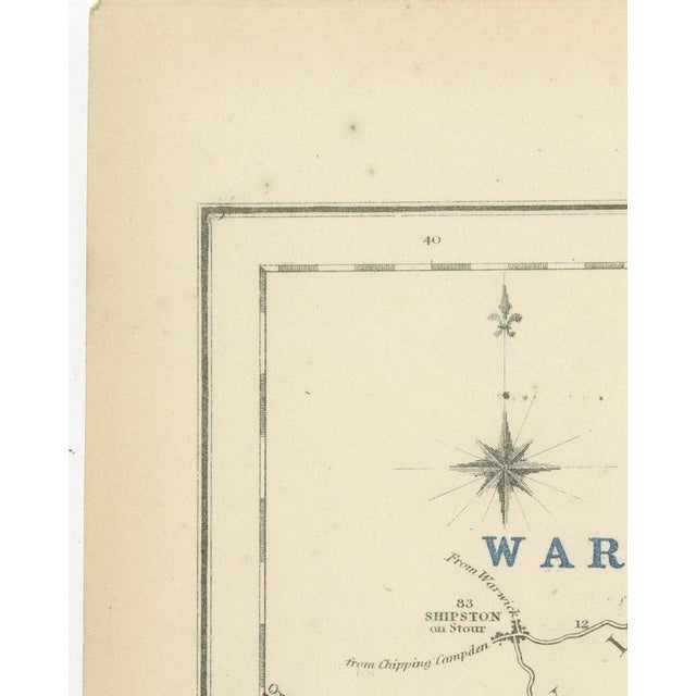
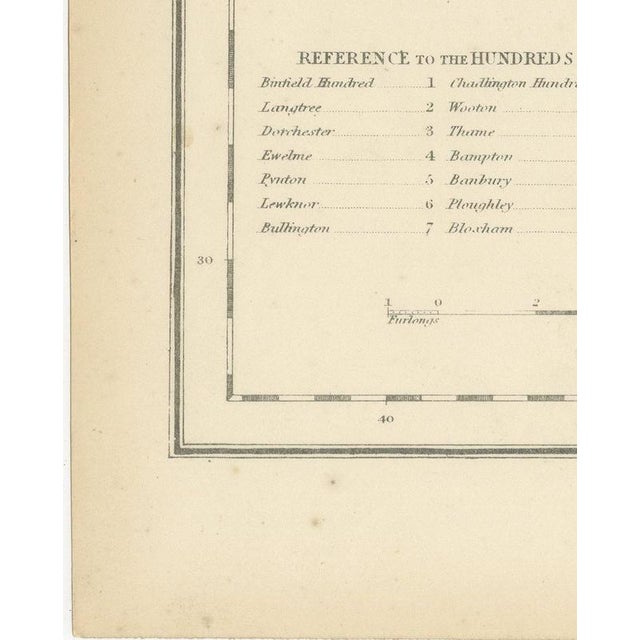
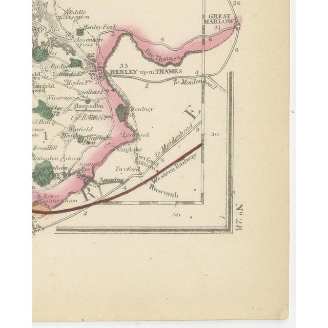
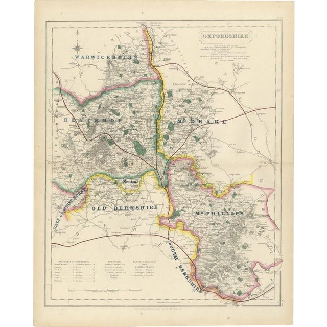
This antique fox hunting map of oxfordshire, engraved by j. And c. Walker for hobson's fox-hunting atlas circa 1870, depicts … Read more This antique fox hunting map of oxfordshire, engraved by j. And c. Walker for hobson's fox-hunting atlas circa 1870, depicts a county shared among seven hunt countries and a patch of neutral ground. Heythrop, in yellow, covers the north-west around chipping norton and woodstock; mr drake's country, in pink, follows the western border toward bicester; old berkshire, in yellow, runs through the south-west around faringdon; the vale of white horse, in blue, lies along the southern edge; south berkshire, in pink, holds the south-east corner toward henley; mr phillips's country, in yellow, forms a small enclave near nettlebed; and warwickshire is lettered along the northern border where that county's hunt runs over the line. An area near the centre, between the heythrop and south berkshire countries, is marked "neutral," ground that belonged formally to neither hunt. Oxford sits at the meeting point of several countries, with the thames drawn broad and blue running south-east through the city toward henley, and the university city's named colleges and streets are engraved in unusually fine detail for a county atlas. A reference table for the hundreds occupies the lower right corner, and the cartouche sits at upper right. William colling hobson compiled the atlas, j. And c. Walker engraved its maps on steel, and longman and company of paternoster row, london, published it, first around 1850 and in reissues running into the 1870s. Hobson's fox-hunting atlas records the boundaries of the hunt countries in hand colour and marks the places of meeting of the foxhounds; this sheet comes from the edition of circa 1870, with its boundaries in original outline hand colour. The explicitly marked neutral ground shows how finely negotiated hunting territory around oxford had become by the date of publication. As an original atlas sheet, suitable for framing, this antique fox hunting map of oxfordshire makes a fine piece for a hunting family, a collector of the county or anyone with ties to the place. The sheet is in good condition for its age, with age toning, a central fold, a few small spots and a small blue speck in the margins. Please review the images for further condition details. This is an original antique map, not a modern reproduction. This item is sold unframed. Any framed or interior images are shown for presentation and inspiration only, unless the listing explicitly states that the item is sold framed. See less
- Dimensions
- 14.17ʺW × 17.72ʺH
- Period
- 19th Century
- Country of Origin
- United Kingdom
- Item Type
- Vintage, Antique or Pre-owned
- Materials
- Paper
- Condition
- Good Condition, Unknown, Some Imperfections
- Color
- Blue
- Condition Notes
- Very Good — This vintage item has no defects, but it may show slight traces of use\. Good condition for … moreVery Good — This vintage item has no defects, but it may show slight traces of use\. Good condition for its age. Age toning, a central fold, a few small spots and a small blue speck in the margins. Please review the images for further condition details. less
Returns & Cancellations
Return Policy - All sales are final 48 hours after delivery, unless otherwise specified in the description of the product.
Cancellation Policy - Prior to shipping or local pickup, buyers may cancel an order for up to 48 hours, unless otherwise specified.