




Details
Description
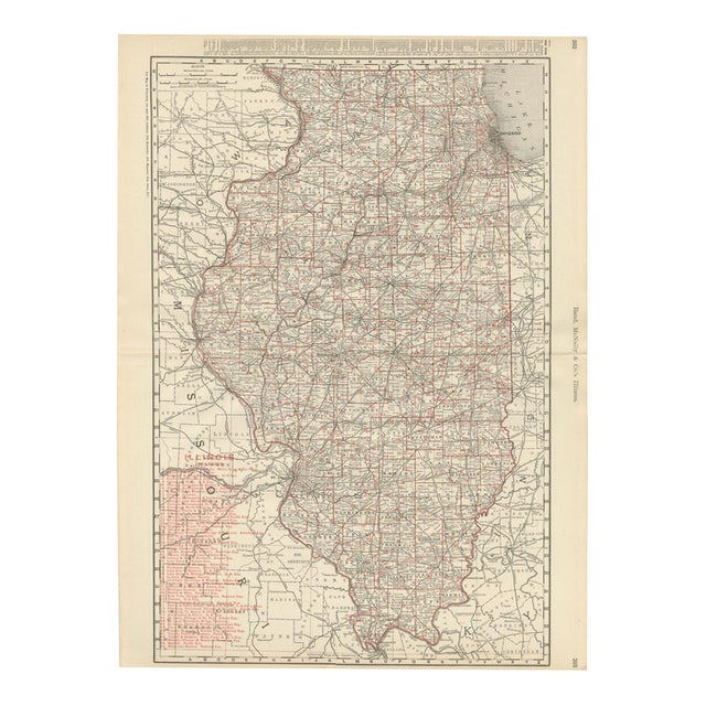
Published by Rand McNally in 1899, this antique map of Illinois is a double-page county map on pages 202 and …
Read more
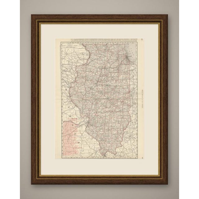
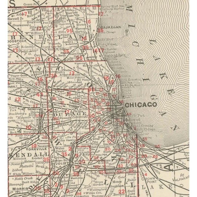
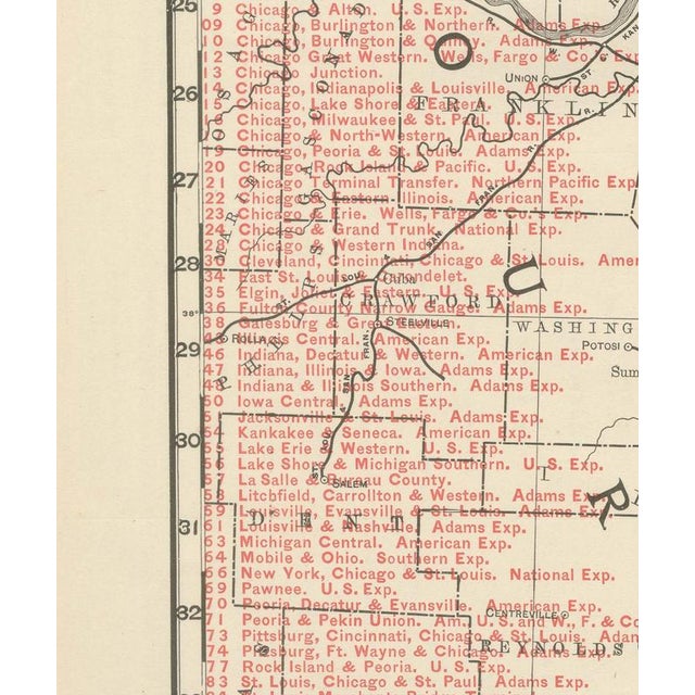
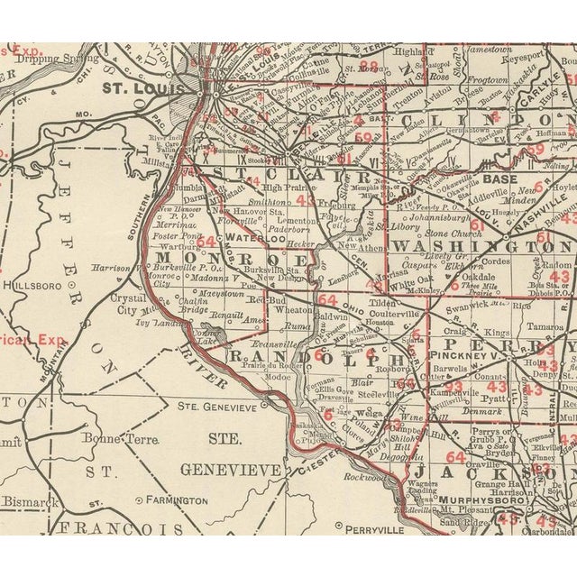
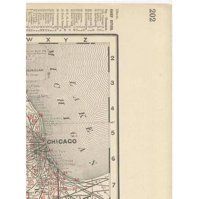
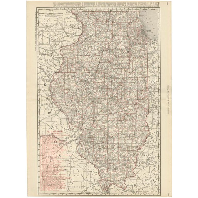
Published by Rand McNally in 1899, this antique map of Illinois is a double-page county map on pages 202 and 203 of the Chicago firm's own indexed atlas, running from the Wisconsin border and Chicago down to Cairo and the confluence of the Ohio and Mississippi. Chicago, in the upper right corner, is already dense with converging rail lines, and a very long red railroad legend down the left margin numbers close to a hundred companies, the Chicago, Burlington and Quincy, the Chicago and Alton, the Illinois Central and the Wabash among them, tracing the network that made Illinois, and Chicago above all, the rail hub of the Midwest by the close of the century. The Illinois, Mississippi and Kaskaskia rivers are traced across the state, and Springfield, the capital, and Saint Louis, just across the Mississippi in Missouri, anchor the central and southwestern portions of the map. The prairie counties of central Illinois, La Salle, Livingston, McLean and Sangamon, carry an exceptionally dense scatter of named towns and junctions, reflecting the intensive grain farming of the region, while the hillier "Little Egypt" country around Cairo in the south shows comparatively sparse rail detail. Scale is given as 15 statute miles to the inch, and a note at upper left directs the reader to the adjoining Wisconsin, Indiana, Kentucky, Missouri and Iowa maps. Rand, McNally and Company, the Chicago firm that issued the 1899 indexed atlas, grew from the printing business William Rand started in the 1850s, later joined by Andrew McNally. By the 1890s it was among the leading map publishers in the United States, known for railroad and commercial maps revised with each new issue. In technique it is a lithograph printed in colour, with the black outline printed first and the pastel colours printed over it. Once framed, this antique map of Illinois would suit a home or office in the state today, and it will appeal to collectors of American state maps and railroad history. The sheet is in good condition for its age, with light age toning, a few small spots in the margins and the original central fold as issued. Please review the images for further condition details. This is an original antique map, not a modern reproduction. This item is sold unframed. Any framed or interior images are shown for presentation and inspiration only, unless the listing explicitly states that the item is sold framed. This piece is attributed to the mentioned designer/maker. It has no attribution mark and no
official proof of authenticity,
however it is well documented in design history. I take full responsibility for any authenticity
issues arising from misattribution
See less
- Dimensions
- 20.47ʺW × 27.17ʺH
- Period
- 19th Century
- Item Type
- Vintage, Antique or Pre-owned
- Materials
- Paper
- Condition
- Good Condition, Unknown, Some Imperfections
- Color
- Red
- Condition Notes
- Very Good — This vintage item has no defects, but it may show slight traces of use\. Good condition for … moreVery Good — This vintage item has no defects, but it may show slight traces of use\. Good condition for its age. Light age toning, a few small spots in the margins and the original central fold as issued. Please review the images for further condition details. less
Returns & Cancellations
Return Policy - All sales are final 48 hours after delivery, unless otherwise specified in the description of the product.
Cancellation Policy - Prior to shipping or local pickup, buyers may cancel an order for up to 48 hours, unless otherwise specified.