







Details
Description
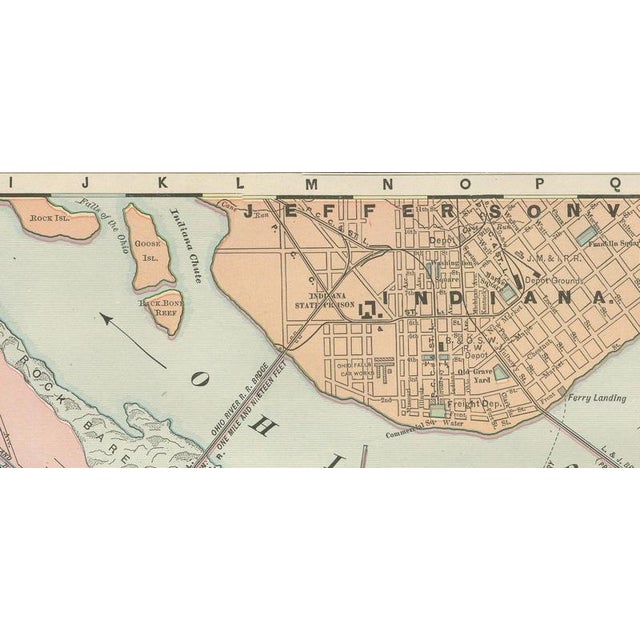
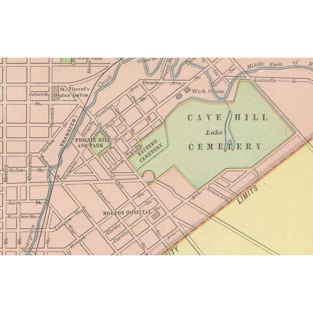
An original antique map of Louisville, Kentucky, from the 1899 Rand McNally indexed atlas, this detailed street plan on page …
Read more
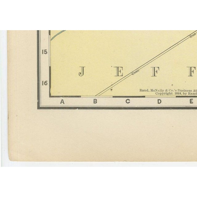
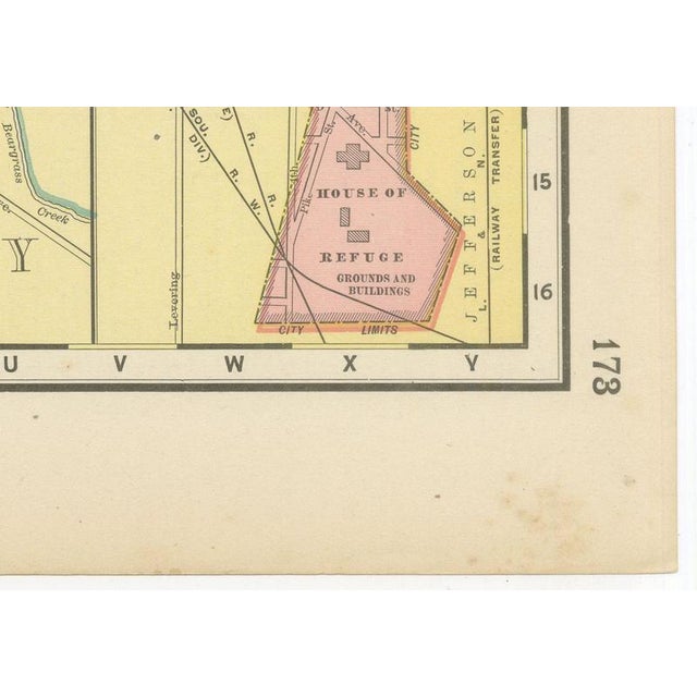
An original antique map of Louisville, Kentucky, from the 1899 Rand McNally indexed atlas, this detailed street plan on page 173 follows the Ohio River from Portland and Shippingport past the Falls of the Ohio to Cave Hill Cemetery. The rock-shelf rapids of the falls and Sand Island are shown in fine detail, and New Albany and Jeffersonville, Indiana, appear across the river in a contrasting orange tint, with the railroad and highway bridges linking the two states clearly marked. The city is printed in pink within its red-outlined limits, and Jefferson County around it in yellow. The downtown business district is named in detail: the Court House, the Post Office and Custom House, the Board of Trade and Union Depot. The principal parks and cemeteries are picked out in green, with Cave Hill Cemetery the largest such block on the sheet, alongside Western Cemetery, Baxter Square, Central Park and Floral Park. A boxed inset at lower right, "Southern Extension of Louisville", carries the built-up area further south to the House of Refuge grounds and the Masonic Widows' and Orphans' Home. The plate carries both an 1889 and an 1899 copyright line, evidence that the firm kept this plan current through successive revisions. Its interest lies in the street-by-street record of a major Ohio River port at the close of the 1890s. Behind the sheet stands one of the great names of American map publishing. William Rand opened a printing business in Chicago in the 1850s, Andrew McNally joined him, and by the 1890s Rand McNally was one of the leading map publishers in the United States, with a reputation built on railroad and commercial maps kept current from issue to issue. The sheet is a colour lithograph, the outline printed in black and every colour printed over it rather than applied by hand. Once framed, this antique map of Louisville would suit a home or office in the city today, and it will appeal to collectors of American city plans and local history. The sheet is in good condition for its age, with light age toning, a few small spots in the margins and minor handling wear to the sheet edges. Please review the images for further condition details. This is an original antique map, not a modern reproduction. This item is sold unframed. Any framed or interior images are shown for presentation and inspiration only, unless the listing explicitly states that the item is sold framed. This piece is attributed to the mentioned designer/maker. It has no attribution mark and no
official proof of authenticity,
however it is well documented in design history. I take full responsibility for any authenticity
issues arising from misattribution
See less
- Dimensions
- 20.47ʺW × 14.17ʺH
- Period
- 19th Century
- Item Type
- Vintage, Antique or Pre-owned
- Materials
- Paper
- Condition
- Good Condition, Unknown, Some Imperfections
- Color
- Black
- Condition Notes
- Very Good — This vintage item has no defects, but it may show slight traces of use\. Good condition for … moreVery Good — This vintage item has no defects, but it may show slight traces of use\. Good condition for its age. Light age toning, a few small spots in the margins and minor handling wear to the sheet edges. Please review the images for further condition details. less
Returns & Cancellations
Return Policy - All sales are final 48 hours after delivery, unless otherwise specified in the description of the product.
Cancellation Policy - Prior to shipping or local pickup, buyers may cancel an order for up to 48 hours, unless otherwise specified.