




Details
Description
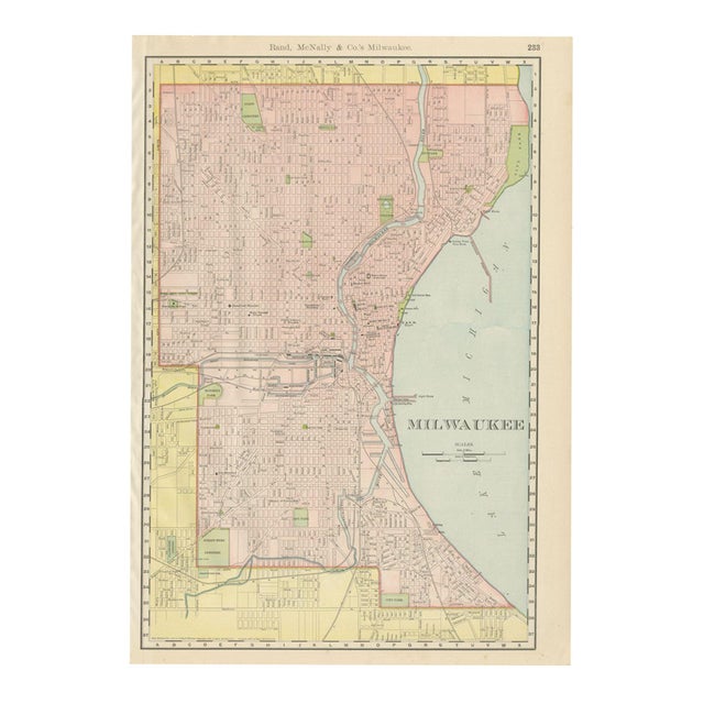
Milwaukee's harbour and river valleys are the focus of this antique map of Milwaukee, published by Rand McNally in 1899 …
Read more
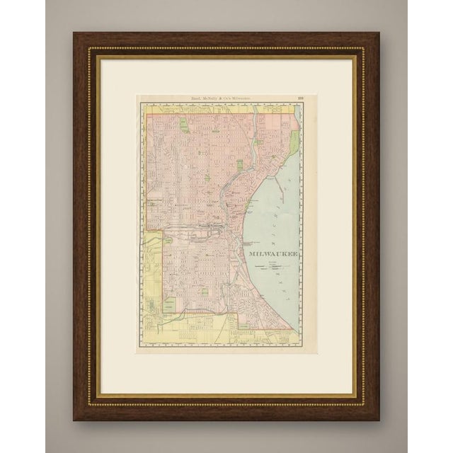
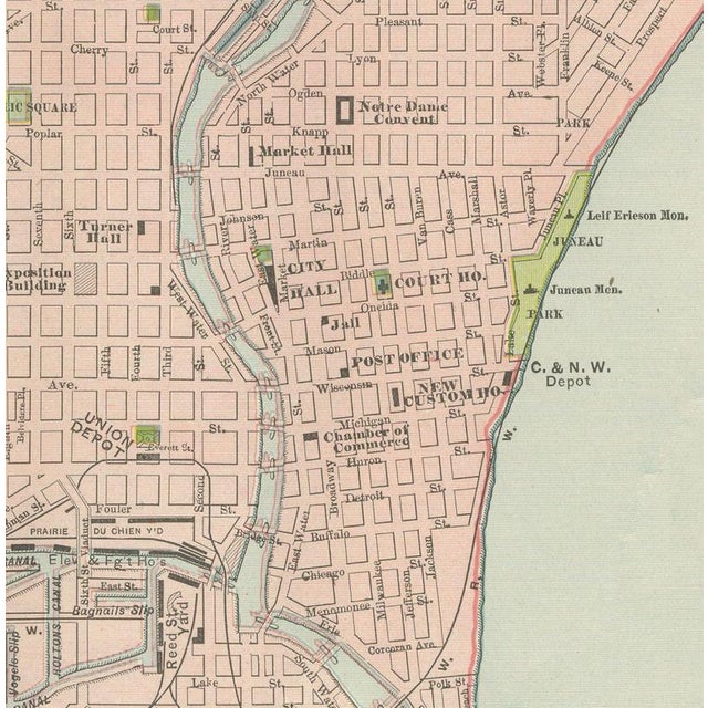
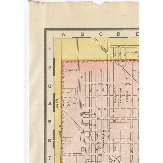
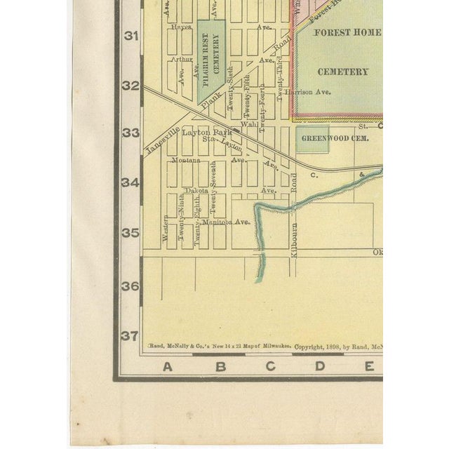
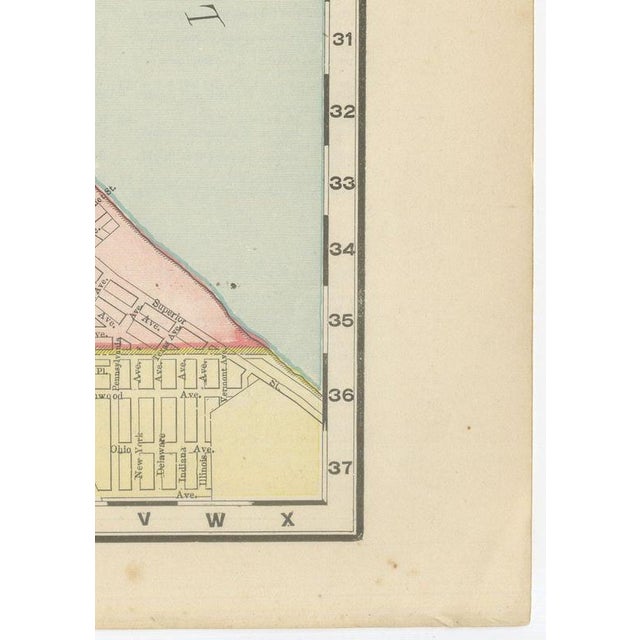
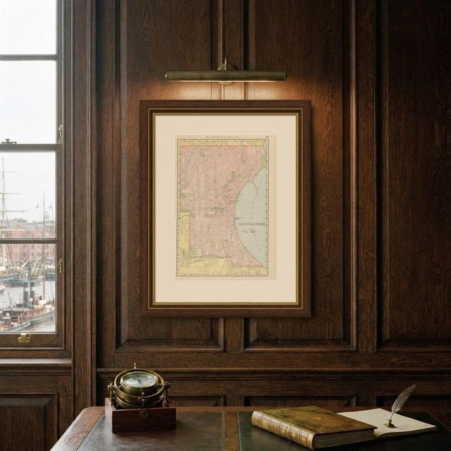
Milwaukee's harbour and river valleys are the focus of this antique map of Milwaukee, published by Rand McNally in 1899 on page 233 of its indexed atlas, the incorporated city printed in pink along the Lake Michigan shore. The street grid runs back from the harbour and the mouth of the Milwaukee River to the yellow-tinted townships beyond the city limits. The river and its Menomonee and Kinnickinnic branches cut diagonally through the plan, with the stockyards and the Milwaukee Road freight yards along the Menomonee valley, and the harbour entrance, lighthouse and life-saving station marked where the river meets the lake. The civic core is shown in the small black blocks used for public buildings, the Court House, City Hall, Custom House, Post Office and Public Library among them, clustered a few blocks back from the river. The parks, Lincoln Park and the harbour-front City Park to the north, and Mitchell, Clark, Kosciuszko and Rose Hill parks to the south, are printed in green, along with Forest Home and several other cemeteries on the outskirts. Concordia College is marked on the west side and Notre Dame Convent near the lakefront. The river and lake are printed in blue, and scale bars in miles and kilometres appear in the lower right margin. The publisher, Rand, McNally and Company of Chicago, began as a printing business founded by William Rand in the 1850s and joined by Andrew McNally. By the time of the 1899 indexed atlas it ranked among the leading American map publishers, known above all for railroad and commercial maps that were revised from one issue to the next. Technically the sheet is a lithograph with printed colour: the outline was printed in black and the colours were printed over it, so none of the colouring was added by hand. Once framed, this antique map of Milwaukee would suit a home or office in the city today, and it will appeal to collectors of American city plans and local history. The sheet is in fair to good condition for its age, with light age toning, small chips and short tears along the upper edge, a creased upper right corner and a small pink mark. Please review the images for further condition details. This is an original antique map, not a modern reproduction. This item is sold unframed. Any framed or interior images are shown for presentation and inspiration only, unless the listing explicitly states that the item is sold framed. This piece is attributed to the mentioned designer/maker. It has no attribution mark and no
official proof of authenticity,
however it is well documented in design history. I take full responsibility for any authenticity
issues arising from misattribution
See less
- Dimensions
- 14.17ʺW × 20.47ʺH
- Period
- 19th Century
- Item Type
- Vintage, Antique or Pre-owned
- Materials
- Paper
- Condition
- Good Condition, Unknown, Some Imperfections
- Color
- Black
- Condition Notes
- Very Good — This vintage item has no defects, but it may show slight traces of use\. Light age toning, … moreVery Good — This vintage item has no defects, but it may show slight traces of use\. Light age toning, small chips and short tears along the upper edge, a creased upper right corner and a small pink mark less
Returns & Cancellations
Return Policy - All sales are final 48 hours after delivery, unless otherwise specified in the description of the product.
Cancellation Policy - Prior to shipping or local pickup, buyers may cancel an order for up to 48 hours, unless otherwise specified.