




Details
Description
Rand McNally's antique map of Hawaii, published in 1899 on page 361 of the firm's indexed atlas, shares a composite …
Read more
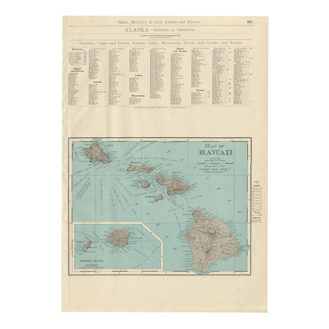
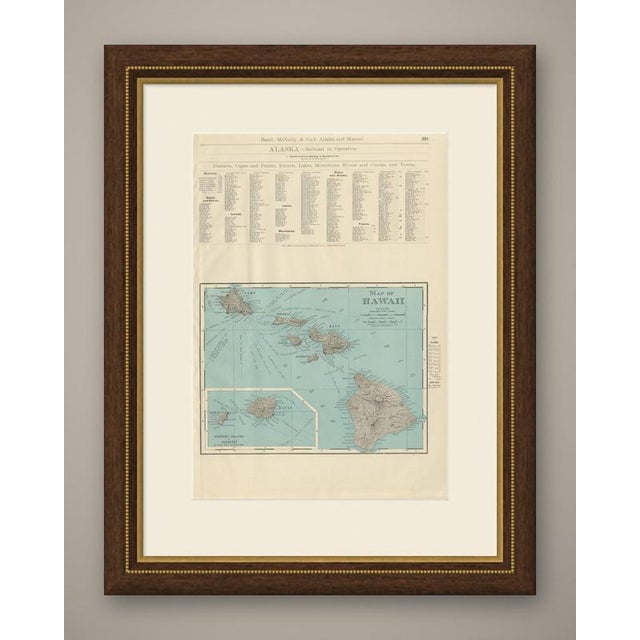
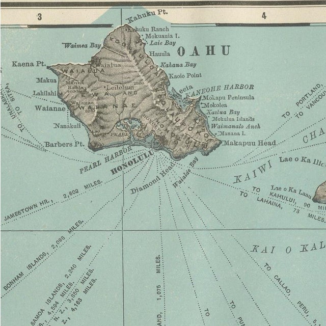
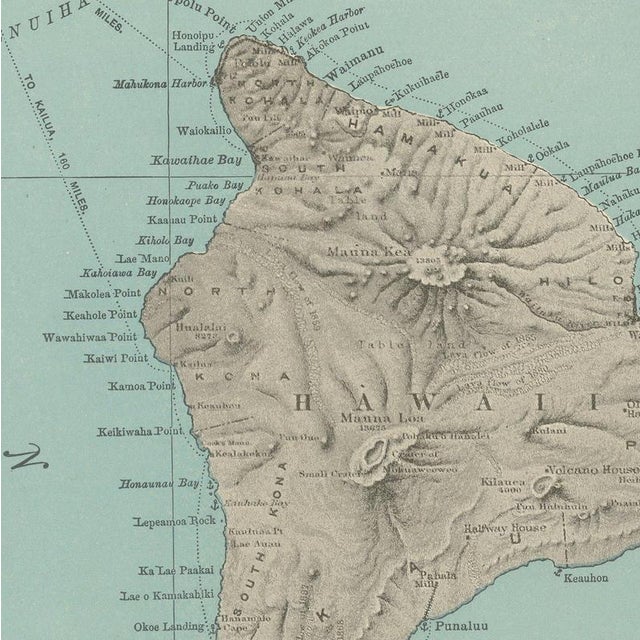
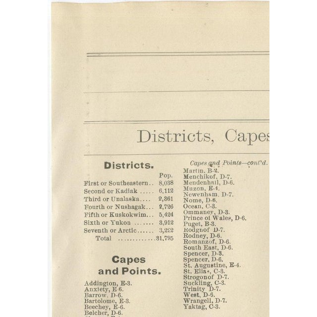
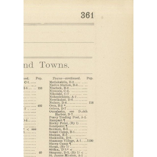
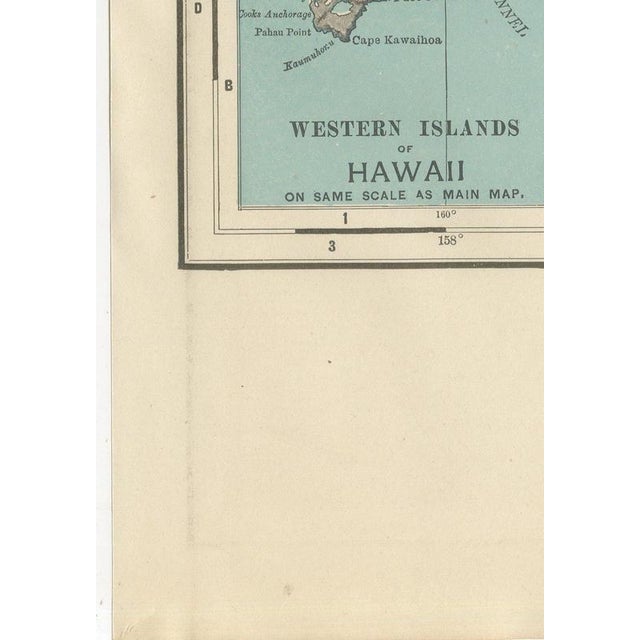
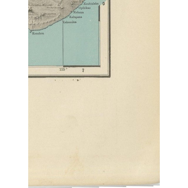
Rand McNally's antique map of Hawaii, published in 1899 on page 361 of the firm's indexed atlas, shares a composite sheet with an Alaska index page. The upper half is a dense, small-type gazetteer headed "Alaska, Railroad in Operation," listing the single line then running, the Pacific and Arctic Railway and Navigation Company from Skaguay to White Pass, followed by multi-column indexes of Alaska's districts, capes and points, islands, lakes, mountains, rivers and creeks, and towns, each with a population figure and a grid reference back to the Alaska sheet elsewhere in the volume. This index apparatus, unusual to find surviving intact on a sheet catalogued under Hawaii, is exactly the supporting material that made the atlas indexed rather than simply a bound set of maps. The lower half carries the "Map of Hawaii," the principal subject of the plate. The main islands, Hawaii itself with Mauna Loa shaded in relief, Maui, Molokai, Lanai and Oahu with Honolulu marked on its southern shore, are laid out west to east in teal ocean colour with brown hachured relief on the land. A boxed inset at lower left, "Western Islands of Hawaii, on Same Scale as Main Map," adds Kauai and Niihau, which fall outside the main frame, and a small table at right records the area and population of each island and gives the population of Honolulu as the territory's only chief city. Scale is given as 69.16 statute miles to a degree. Hawaii had been annexed by the United States in 1898, only the year before this atlas was issued, so the sheet is an early example of the new territory brought into the standard state-and-territory format, complete with its own population tables, only months after annexation. Rand McNally, a Chicago firm that by the 1890s was one of the leading map publishers in the United States, printed this antique map of Hawaii as a colour lithograph, the outline in black with the colours printed over it. It is an original 1899 atlas sheet, and it is suitable for framing. The colour is printed rather than applied by hand. The sheet is in good condition for its age, with light age toning, deeper toward the sheet edges, a few small spots and minor edge wear. Please review the images for further condition details. This is an original antique map, not a modern reproduction. This item is sold unframed. Any framed or interior images are shown for presentation and inspiration only, unless the listing explicitly states that the item is sold framed. This piece is attributed to the mentioned designer/maker. It has no attribution mark and no
official proof of authenticity,
however it is well documented in design history. I take full responsibility for any authenticity
issues arising from misattribution
See less
- Dimensions
- 14.17ʺW × 20.47ʺH
- Period
- 19th Century
- Item Type
- Vintage, Antique or Pre-owned
- Materials
- Paper
- Condition
- Good Condition, Unknown, Some Imperfections
- Color
- Black
- Condition Notes
- Very Good — This vintage item has no defects, but it may show slight traces of use\. Good condition for … moreVery Good — This vintage item has no defects, but it may show slight traces of use\. Good condition for its age. Light age toning, deeper toward the sheet edges, a few small spots and minor edge wear. Please review the images for further condition details. less
Returns & Cancellations
Return Policy - All sales are final 48 hours after delivery, unless otherwise specified in the description of the product.
Cancellation Policy - Prior to shipping or local pickup, buyers may cancel an order for up to 48 hours, unless otherwise specified.