



Details
Description
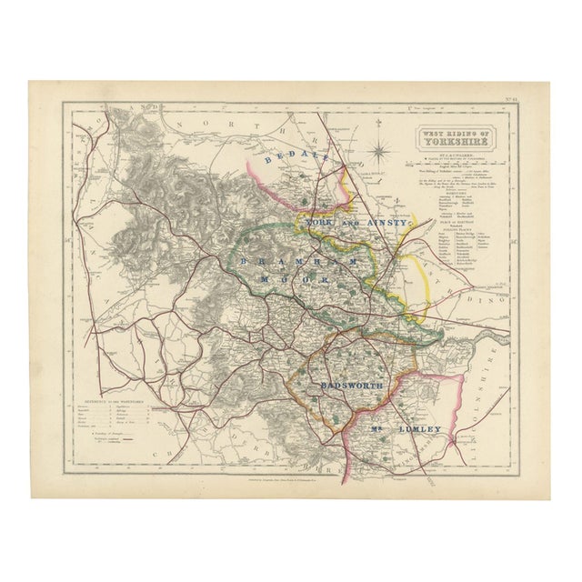
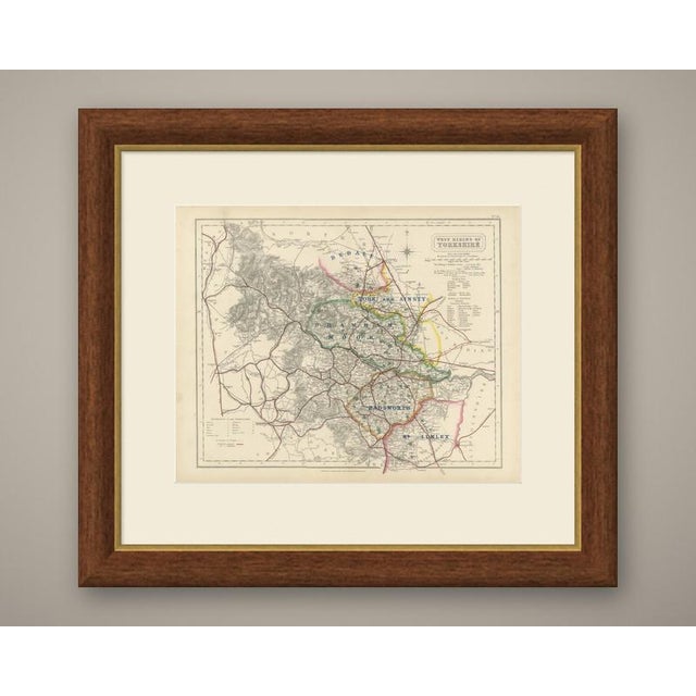
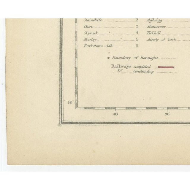
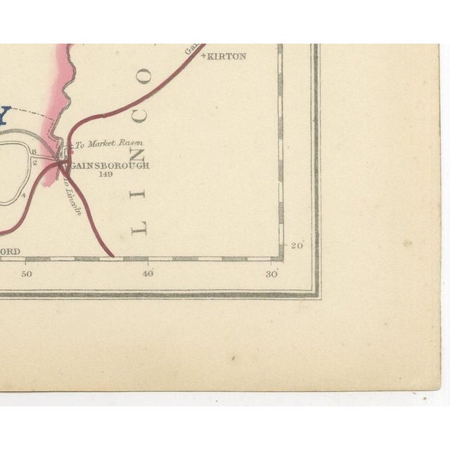
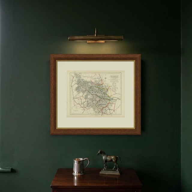
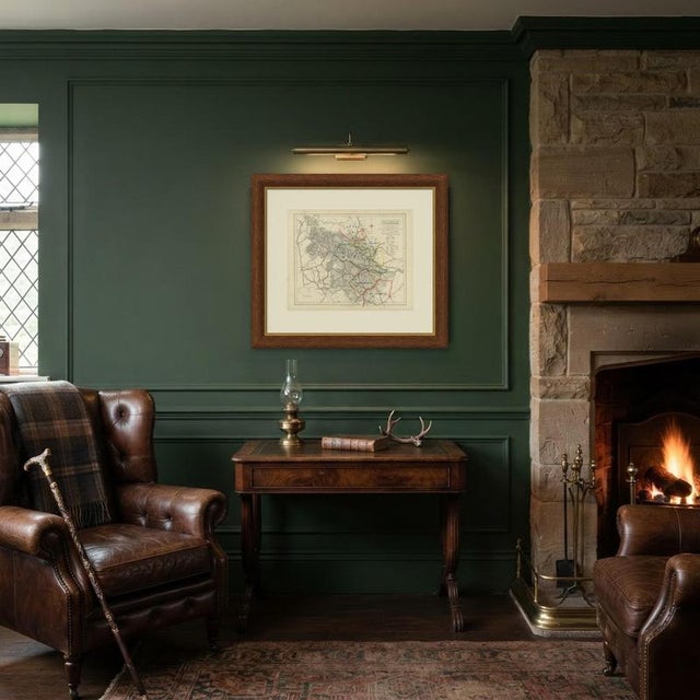
Engraved by J. and C. Walker for Hobson's Fox-Hunting Atlas circa 1870, this antique fox hunting map of Yorkshire's West … Read more Engraved by J. and C. Walker for Hobson's Fox-Hunting Atlas circa 1870, this antique fox hunting map of Yorkshire's West Riding shows four hunt countries in hand colour, with a fifth lettered along its south-eastern edge. Bedale, in pink, spills into the far north-west corner from the North Riding; York and Ainsty, in yellow, covers the north-east around the city of York; Bramham Moor, in green, runs through the centre toward Wetherby and Harrogate; and Badsworth, in orange, lies in the south-east toward Pontefract and Doncaster, with Mr Lumley's country, in pink, lettered toward the Nottinghamshire border. The Pennine hill country in the west, around Skipton, Burnley and the industrial towns of the Lancashire border, carries no hunt colour. Bradford, Leeds, Halifax, Huddersfield and Sheffield are named in the margin with their dense railway network traced in red, contrasting with the open, rolling Bramham Moor country in the centre and the high Pennine moorland in the west, rendered in heavy hachure. A reference table for the wapentakes sits at lower left, and the cartouche occupies the upper right above a substantial list of boroughs and polling places, reflecting the Riding's dense population. This is a leaf from Hobson's Fox-Hunting Atlas in the edition of circa 1870. Compiled by William Colling Hobson and published by Longman and Company, Paternoster Row, the atlas was first issued around 1850 and reissued into the 1870s, covering every county of England and the three Ridings of Yorkshire. Its maps were engraved on steel by the London firm of John and Charles Walker, and the hunt boundaries are in original hand colour, applied in outline. Bramham Moor and Badsworth both ran close to the manufacturing towns, hunting country persisting right against the edge of one of the most heavily industrialised districts in England. An original atlas sheet, suitable for framing, this antique fox hunting map of Yorkshire's West Riding will appeal to hunting families, to collectors of the county and to anyone with a connection to the place. The sheet is in good condition for its age, with age toning, stronger towards the edges, a central fold and a few small spots in the margins. Please review the images for further condition details. This is an original antique map, not a modern reproduction. This item is sold unframed. Any framed or interior images are shown for presentation and inspiration only, unless the listing explicitly states that the item is sold framed. See less
- Dimensions
- 17.72ʺW × 14.17ʺH
- Period
- 19th Century
- Country of Origin
- United Kingdom
- Item Type
- Vintage, Antique or Pre-owned
- Materials
- Paper
- Condition
- Good Condition, Unknown, Some Imperfections
- Color
- Gold
- Condition Notes
- Very Good — This vintage item has no defects, but it may show slight traces of use\. Age toning, stronger … moreVery Good — This vintage item has no defects, but it may show slight traces of use\. Age toning, stronger towards the edges, a central fold and a few small spots in the margins less
Returns & Cancellations
Return Policy - All sales are final 48 hours after delivery, unless otherwise specified in the description of the product.
Cancellation Policy - Prior to shipping or local pickup, buyers may cancel an order for up to 48 hours, unless otherwise specified.