





Details
Description
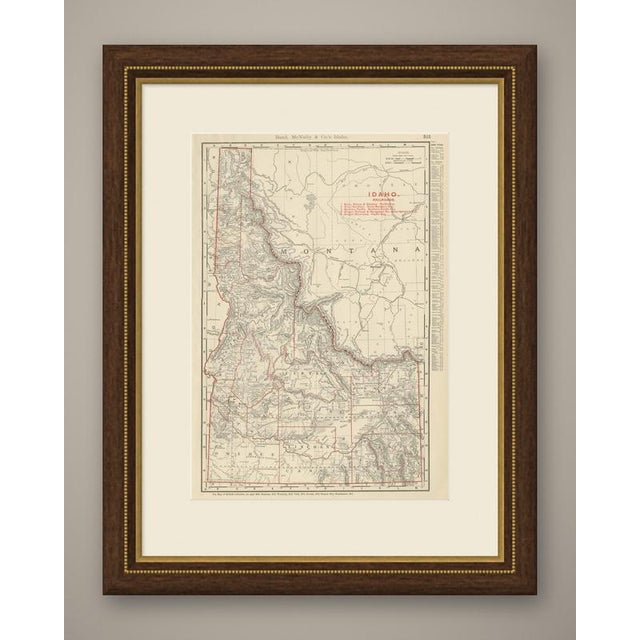
An antique map of Idaho printed by Rand McNally in 1899 on page 315 of its indexed atlas, this sheet …
Read more
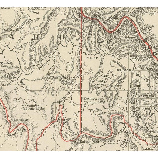
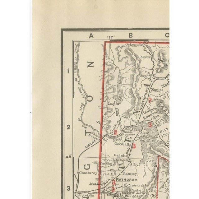
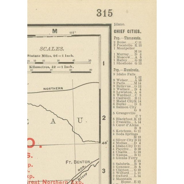
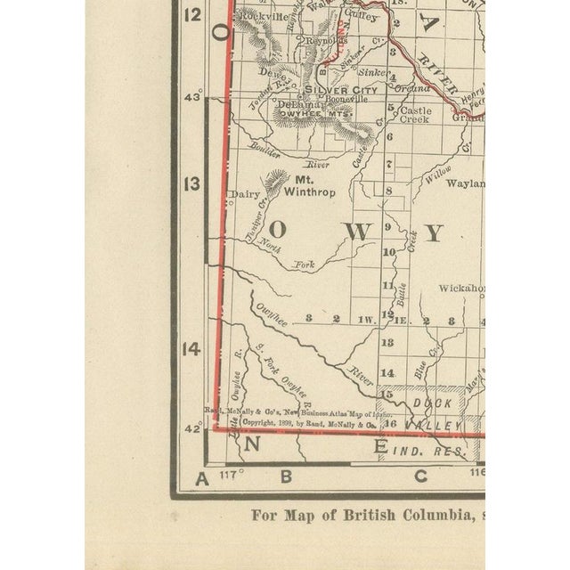
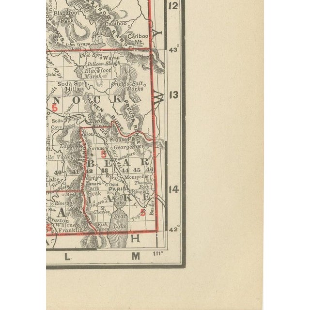
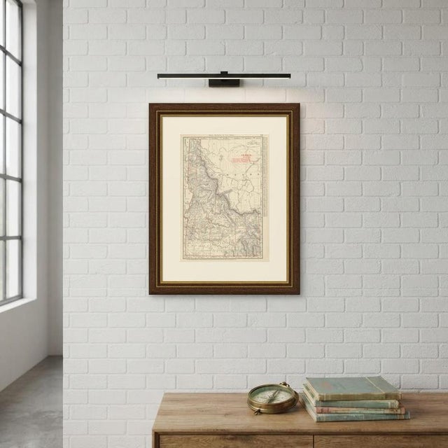
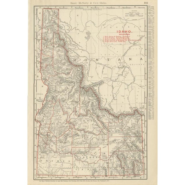
An antique map of Idaho printed by Rand McNally in 1899 on page 315 of its indexed atlas, this sheet is headed "Idaho" but its printed area covers roughly equal parts of Idaho and western Montana, the two states sharing the sheet on either side of the Bitterroot Range and the Continental Divide. The northern panhandle counties of Kootenai, Shoshone and Nez Perces sit at the far left around Coeur d'Alene and Lewiston, separated from the larger southern part of the state, with Idaho, Custer, Lemhi, Alturas, Logan, Cassia, Owyhee, Boise, Elmore, Bingham and Bear Lake counties, by mountainous central country that still shows comparatively little settlement detail at this date. To the east, the Montana country around Helena, Butte, Anaconda, Silver Bow and Deer Lodge is mapped in equal detail, since the real organising feature of the sheet is the Continental Divide and the rail corridors that cross it rather than a strict state boundary. A red railroad legend at upper right lists five lines, the Boise, Nampa and Owyhee, the Great Northern, the Northern Pacific, the Oregon Railroad and Navigation Company and the Oregon Short Line, tracing the routes that linked Idaho's mining and agricultural districts to the transcontinental network through Montana. The Snake River Plain across southern Idaho, already showing early irrigation-era place names around Boise, Hailey and the Snake River canyon near Shoshone Falls, contrasts with the still largely unlabelled high country of the Sawtooth and Salmon River mountains to the north, a genuine snapshot of how unevenly the region had been surveyed and settled by 1899. Scale is given as 26 statute miles to the inch. Rand McNally grew from a Chicago printing business started in the 1850s by William Rand and joined by Andrew McNally, and by the 1890s it was one of the leading map publishers in the United States, known for railroad maps revised from issue to issue. This antique map of Idaho is an original 1899 atlas sheet, printed as a colour lithograph with the outline in black and the colours printed over it. It is suitable for framing. The colour is printed rather than applied by hand. The sheet is in good condition for its age, with light age toning, slightly deeper at the sheet edges, and minor handling wear. Please review the images for further condition details. This is an original antique map, not a modern reproduction. This item is sold unframed. Any framed or interior images are shown for presentation and inspiration only, unless the listing explicitly states that the item is sold framed. This piece is attributed to the mentioned designer/maker. It has no attribution mark and no
official proof of authenticity,
however it is well documented in design history. I take full responsibility for any authenticity
issues arising from misattribution
See less
- Dimensions
- 14.17ʺW × 20.47ʺH
- Period
- 19th Century
- Item Type
- Vintage, Antique or Pre-owned
- Materials
- Paper
- Condition
- Good Condition, Unknown, Some Imperfections
- Color
- Beige
- Condition Notes
- Very Good — This vintage item has no defects, but it may show slight traces of use\. Good condition for … moreVery Good — This vintage item has no defects, but it may show slight traces of use\. Good condition for its age. Light age toning, slightly deeper at the sheet edges, and minor handling wear. Please review the images for further condition details. less
Returns & Cancellations
Return Policy - All sales are final 48 hours after delivery, unless otherwise specified in the description of the product.
Cancellation Policy - Prior to shipping or local pickup, buyers may cancel an order for up to 48 hours, unless otherwise specified.