







Details
Description
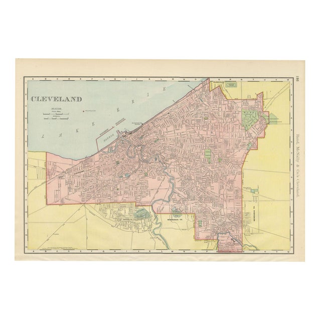
Rand McNally's street plan on page 186 of its 1899 indexed atlas, this antique map of Cleveland, Ohio, follows the …
Read more
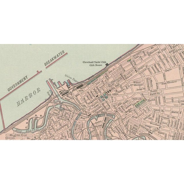
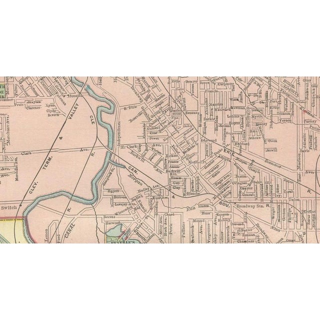
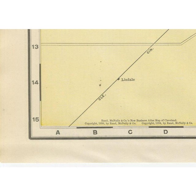
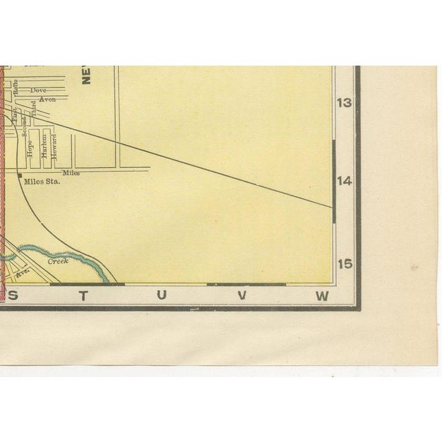
Rand McNally's street plan on page 186 of its 1899 indexed atlas, this antique map of Cleveland, Ohio, follows the Lake Erie shore from the Government Harbor breakwater and the mouth of the Cuyahoga River out to the West Side and Newburgh Township. The city proper is printed in pink within a red limit line, and the Glenville district to the northeast is shown as a separate yellow-tinted area with its own street pattern and a trotting course near the lakefront. The sharply meandering course of the Cuyahoga through the industrial Flats is drawn in fine detail, with the Union Depot, warehouses and rail yards along its banks, and the harbour works and the Cleveland Yacht Club house are marked along the lakefront breakwater. Wade Park and Lake View Cemetery, where President Garfield's monument is specifically labelled, are picked out in green at the northeast corner of the sheet, with Woodland Cemetery and Riverside Cemetery further south, and the isolation hospital and reservoir at the southern edge are among the civic features named. The imprint at lower left carries both an 1888 and an 1894 copyright line, evidence of successive revisions to keep the plan current before this 1899 issue. The sheet is a street-by-street record of a fast-industrialising Great Lakes port at the close of the 1890s. Rand, McNally and Company grew out of a Chicago printing business started in the 1850s by William Rand, who was soon joined by Andrew McNally. By the 1890s the firm was one of the leading map publishers in the United States, and this sheet belongs squarely to the railroad and commercial maps it was known for, revised from issue to issue. The sheet is a colour lithograph, the outline printed in black and every colour printed over it rather than applied by hand. Once framed, this antique map of Cleveland would suit a home or office in the city today, and it will appeal to collectors of American city plans and local history. The sheet is in good condition for its age, with light age toning, a few small spots in the margins and minor handling wear to the sheet edges. Please review the images for further condition details. This is an original antique map, not a modern reproduction. This item is sold unframed. Any framed or interior images are shown for presentation and inspiration only, unless the listing explicitly states that the item is sold framed. This piece is attributed to the mentioned designer/maker. It has no attribution mark and no
official proof of authenticity,
however it is well documented in design history. I take full responsibility for any authenticity
issues arising from misattribution
See less
- Dimensions
- 20.47ʺW × 14.17ʺH
- Period
- 19th Century
- Item Type
- Vintage, Antique or Pre-owned
- Materials
- Paper
- Condition
- Good Condition, Unknown, Some Imperfections
- Color
- Black
- Condition Notes
- Very Good — This vintage item has no defects, but it may show slight traces of use\. Good condition for … moreVery Good — This vintage item has no defects, but it may show slight traces of use\. Good condition for its age. Light age toning, a few small spots in the margins and minor handling wear to the sheet edges. Please review the images for further condition details. less
Returns & Cancellations
Return Policy - All sales are final 48 hours after delivery, unless otherwise specified in the description of the product.
Cancellation Policy - Prior to shipping or local pickup, buyers may cancel an order for up to 48 hours, unless otherwise specified.