





Details
Description
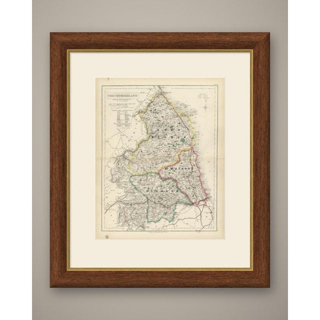
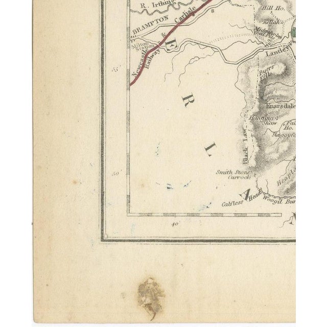
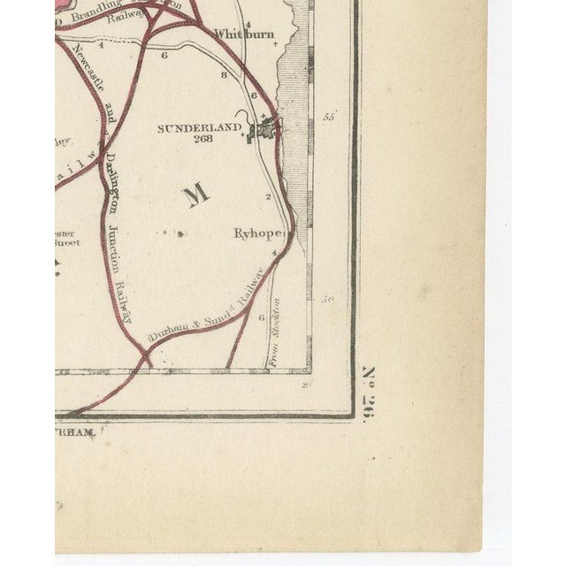
From hobson's fox-hunting atlas comes this antique fox hunting map of northumberland, engraved by j. And c. Walker circa 1870 … Read more From hobson's fox-hunting atlas comes this antique fox hunting map of northumberland, engraved by j. And c. Walker circa 1870 and coloured by hand to show three hunt countries. Lord elcho's country, in pink, crosses the south around hexham and the tyne valley; tindale, in yellow, runs through the centre-west toward the cumberland border; and mr watson's country, in blue, lies in the north around wooler and the cheviots. The wild border country north and west of these boundaries, and the industrial tyneside district around newcastle in the south-east, are left uncoloured. The roman wall is traced across the centre of the sheet as a dotted line along its course from east to west, and the cheviot hills are rendered in heavy hachure with the principal peaks named. A reference table for the wards sits at lower left, and the cartouche, with the county name and the walker imprint, occupies the upper right beside the compass star, the plate numbered 26. Hobson's fox-hunting atlas, compiled by william colling hobson and published by longman and company of paternoster row, london, first appeared around 1850 and was reissued into the 1870s; this sheet is from the edition of circa 1870. The plates were steel engraved by j. And c. Walker, and the boundaries of the hunt countries were added in original hand colour, in outline, with the places of meeting of the foxhounds marked alongside roads, railways, canals and parks. The sheet records a sparsely hunted county at this date, its named countries confined to the more settled ground in the south and centre. For hunting families, county collectors and anyone with a connection to the place, this antique fox hunting map of northumberland is an original atlas sheet, well suited to framing. The sheet is in fair to good condition for its age, with age toning, brown stains with surface residue in the upper and lower left margins, a few small blue ink marks, light spotting and a central fold. Please review the images for further condition details. This is an original antique map, not a modern reproduction. This item is sold unframed. Any framed or interior images are shown for presentation and inspiration only, unless the listing explicitly states that the item is sold framed. See less
- Dimensions
- 14.17ʺW × 17.72ʺH
- Period
- 19th Century
- Country of Origin
- United Kingdom
- Item Type
- Vintage, Antique or Pre-owned
- Materials
- Paper
- Condition
- Good Condition, Unknown, Some Imperfections
- Color
- Blue
- Condition Notes
- Good — This vintage item remains fully functional, but it shows sign of age through scuffs, dings, faded finishes, minimal … moreGood — This vintage item remains fully functional, but it shows sign of age through scuffs, dings, faded finishes, minimal upholstery defects, or visible repairs\. Fair to good condition for its age. Age toning, brown stains with surface residue in the upper and lower left margins, a few small blue ink marks, light spotting and a central fold. Please review the images for further condition details. less
Returns & Cancellations
Return Policy - All sales are final 48 hours after delivery, unless otherwise specified in the description of the product.
Cancellation Policy - Prior to shipping or local pickup, buyers may cancel an order for up to 48 hours, unless otherwise specified.