

Details
Description
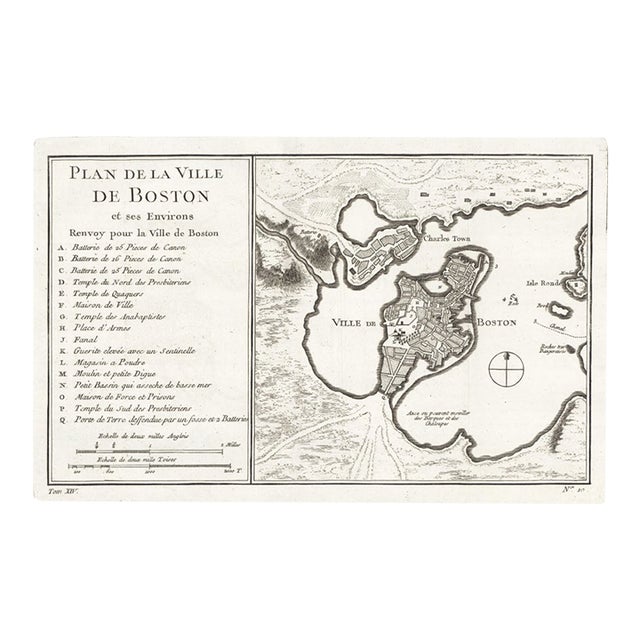
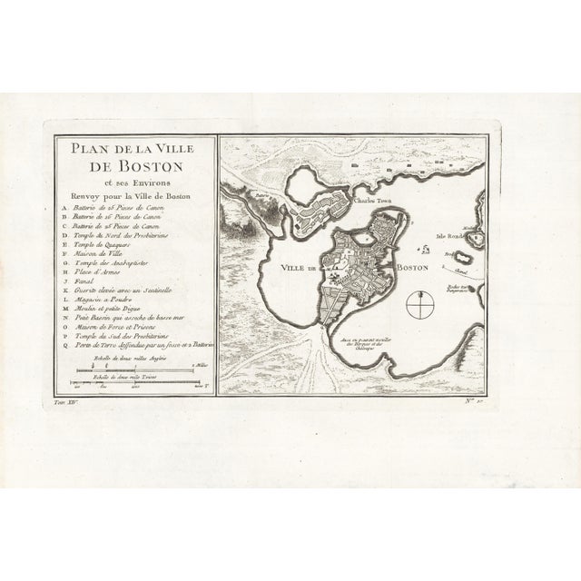
One of the earliest obtainable town plans of Boston, "Plan de la Ville de Boston et ses Environs" (Plan of …
Read more
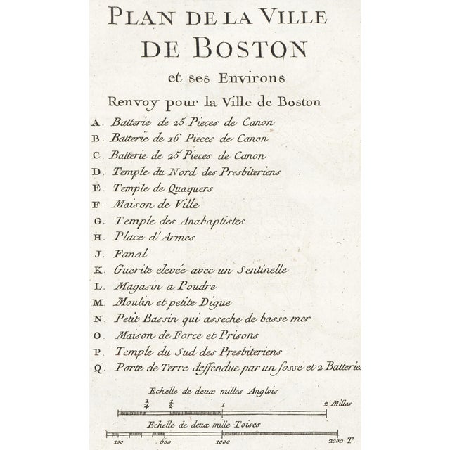
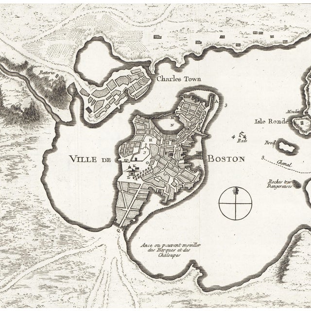
One of the earliest obtainable town plans of Boston, "Plan de la Ville de Boston et ses Environs" (Plan of the City of Boston and its Surroundings) was published in 1756 by Jacques-Nicholas Bellin. This beautiful, detailed copper plate engraved map depicts Boston, Charlestown, and parts of Isle Ronde (Round Island, no longer extant) and the Mainland. Sixteen important locations are identified (in French), with letters that correspond to a key to the left of the map. These include three cannon batteries, the North and South Presbyterian Churches, the Quaker temple, the Anabaptist Church, the City Hall, the Armory, Faneuil Hall (spelled Fanal), the Powder Magazine...
Sheet size: 9-1/4 x 14 inches; map size: 6-1/2 x 10-3/4 inches. Printed on laid (chain paper). Two folds as issued, and as with all examples of this map, there is some barely visible offsetting in the text area; otherwise it is in excellent condition.
Jacques-Nicolas Bellin (1703 - 1772), was one of the most important cartographers of the 18th century, with a career spanning some 50 years. Compared to earlier 17th and 18th century cartographic work, Bellin's maps focus on function and accuracy tending. Unlike many of his contemporaries, Bellin was always careful to cite his references. Despite his success, he did not always enjoy his work, which is described as "long, unpleasant, and hard". In addition to numerous maps and charts published during his lifetime, many of Bellin's maps published posthumously with updates.
See less
- Dimensions
- 9.25ʺW × 0.1ʺD × 14ʺH
- Styles
- Realism
- Frame Type
- Unframed
- Period
- Mid 18th Century
- Country of Origin
- France
- Item Type
- Vintage, Antique or Pre-owned
- Materials
- Paper
- Condition
- Mint Condition, No Imperfections
- Color
- Black
- Condition Notes
- Two folds as issued, and as with all examples of this map, there is some barely visible offsetting in the … moreTwo folds as issued, and as with all examples of this map, there is some barely visible offsetting in the text area; otherwise it is in excellent condition. Photographs are detailed and taken under controlled lighting; post-production is performed with calibrated monitors. Thus, our photographs accurately capture the work's condition and colors. However, monitors vary and can affect the way art appears online. Contact us for any concerns. less
Questions about the item?
Returns & Cancellations
Return Policy - All sales are final 48 hours after delivery, unless otherwise specified in the description of the product.
Cancellation Policy - Prior to shipping or local pickup, buyers may cancel an order for up to 48 hours, unless otherwise specified.