


Details
Description
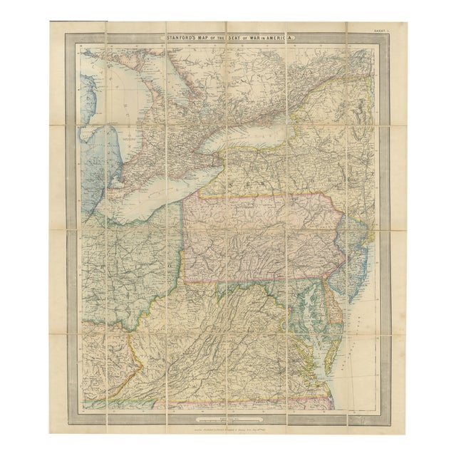
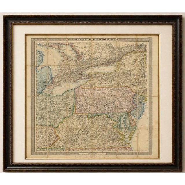
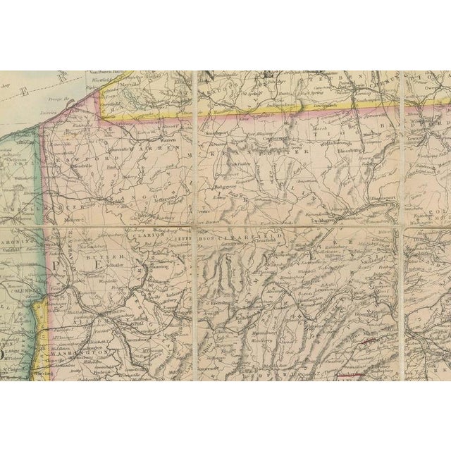
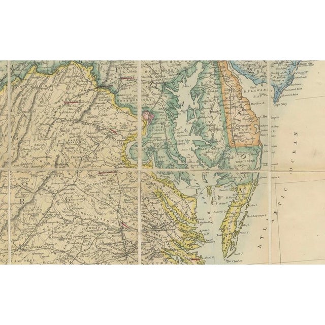
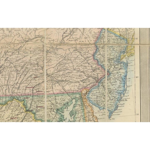
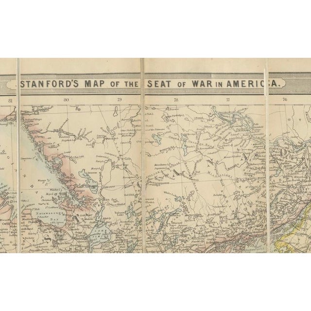
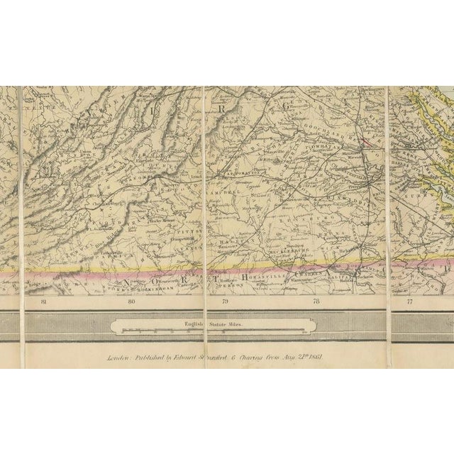
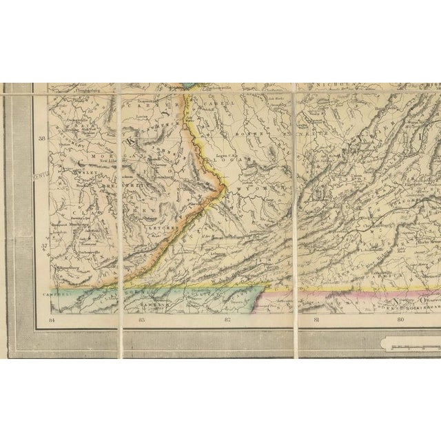
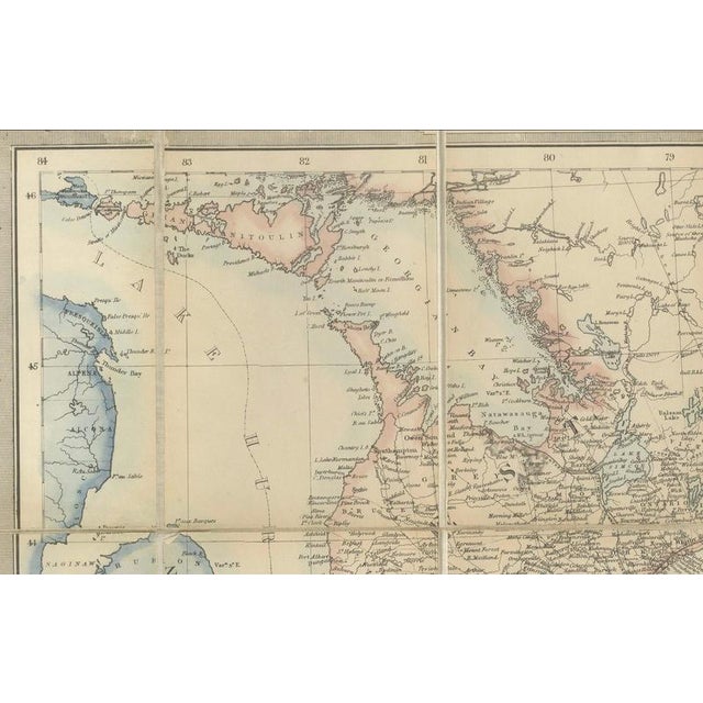
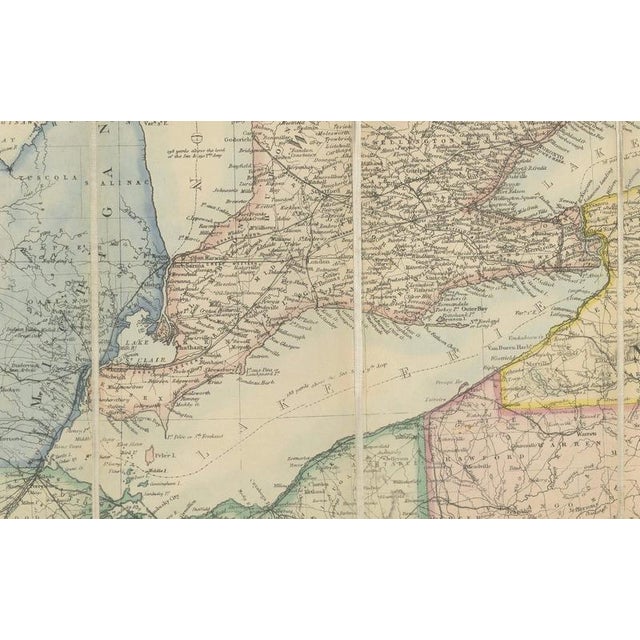
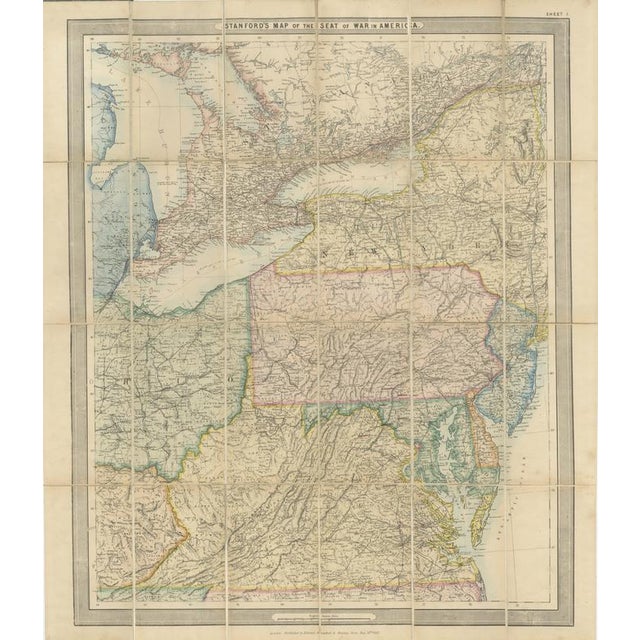
American Civil War “Seat of War” Map, Published Just After Bull Run, 1861 : An important and highly detailed original … Read more American Civil War “Seat of War” Map, Published Just After Bull Run, 1861 : An important and highly detailed original map published at the outbreak of the American Civil War, showing the principal theatre of conflict across the eastern United States. Published by Edward Stanford in London on August 21, 1861, only a few months after the beginning of hostilities, the map extends from the Great Lakes and southern Canada through the Union and Confederate states to the Atlantic seaboard. Pennsylvania, Ohio, Virginia, Kentucky, Tennessee, Maryland and the surrounding regions are shown in considerable detail, with state boundaries picked out in original hand coloring. Issued specifically in response to the rapidly developing American conflict, the map is titled “Stanford’s Map of the Seat of War in America.” Its early publication date makes it a fascinating contemporary European cartographic record of the Civil War at a moment when the eventual course and outcome of the conflict remained entirely uncertain. What makes this map extra interesting? Published in London on August 21, 1861, only a month after the First Battle of Bull Run, this map offers a fascinating contemporary view of the American Civil War at its very beginning. Rather than being conceived simply as a general map of the United States, Stanford specifically issued it as a “Map of the Seat of War in America,” allowing a British audience to follow the rapidly developing conflict across the Union, Confederate and strategically important border states. Particular emphasis is placed on Virginia, Maryland, Pennsylvania, Kentucky and Tennessee, regions that would become central to the war. Its remarkably early date, original hand coloring and practical linen-backed folding format make it an evocative cartographic document produced while the eventual course and outcome of the Civil War were still entirely unknown. Lithographed, with original hand coloring, the map was designed for practical use and folds into sections mounted on linen. The survival of this format, together with the visible fold structure, gives the piece considerable historical character. Publisher: Edward Stanford Title: Stanford’s Map of the Seat of War in America Place of Publication: London Date: August 21, 1861 Medium: Lithograph with original hand coloring, folding and mounted on linen Dimensions: Approximately 71.5 x 61.3 cm (28.1 x 24.1 inches) Condition: Good antique condition consistent with age and use. Folding in sections and mounted on linen as issued. General toning, soiling, mottling, handling marks and wear are present, with some discoloration along the folds and margins. Please examine the photographs carefully for the condition and contact us if you would like a more detailed condition report. This is an original antique map published in 1861, not a modern reproduction. Sold unframed. Any framed or interior images are for presentation and inspiration only. See less
- Dimensions
- 27.95ʺW × 24.02ʺH
- Period
- 19th Century
- Country of Origin
- United Kingdom
- Item Type
- Vintage, Antique or Pre-owned
- Materials
- Paper
- Condition
- Good Condition, Unknown, Some Imperfections
- Color
- Cream
- Condition Notes
- Very Good — This vintage item has no defects, but it may show slight traces of use\. General toning, soiling, … moreVery Good — This vintage item has no defects, but it may show slight traces of use\. General toning, soiling, mottling, handling marks and wear are present, with some discoloration along the folds less
Returns & Cancellations
Return Policy - All sales are final 48 hours after delivery, unless otherwise specified in the description of the product.
Cancellation Policy - Prior to shipping or local pickup, buyers may cancel an order for up to 48 hours, unless otherwise specified.