

Details
Description
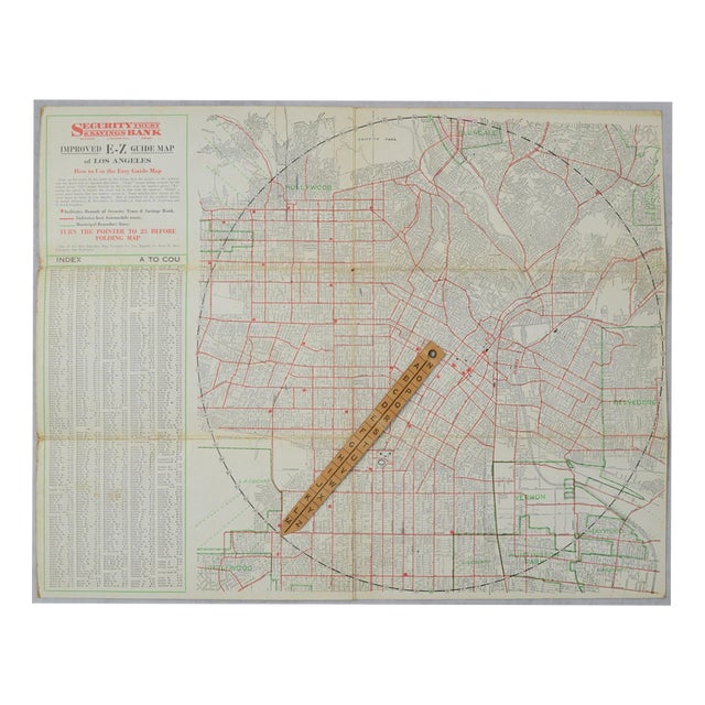
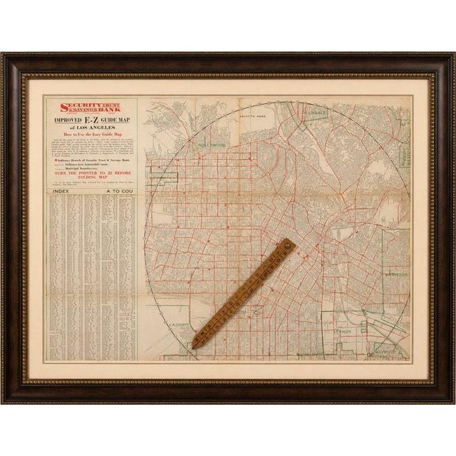
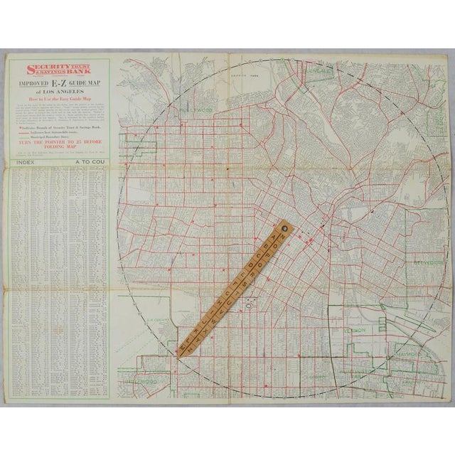
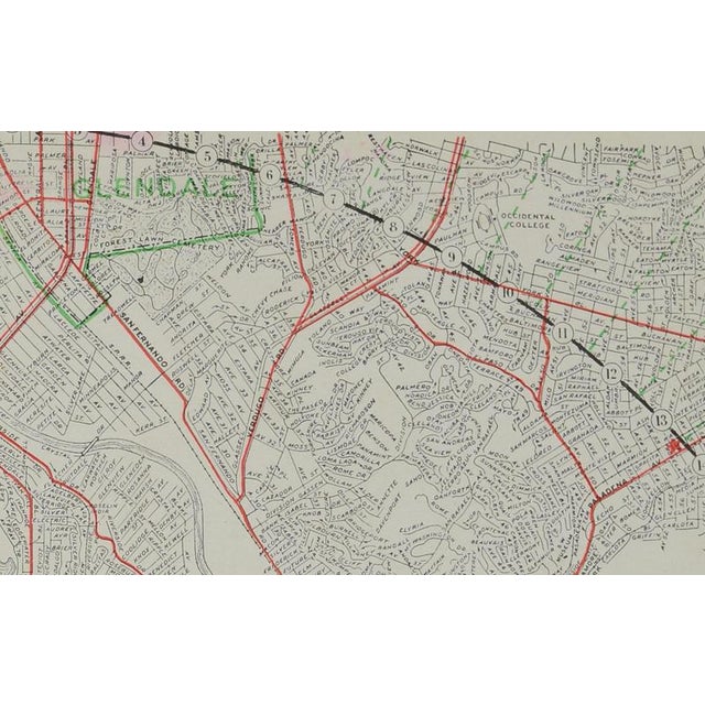
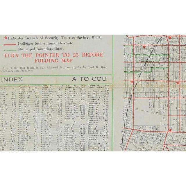
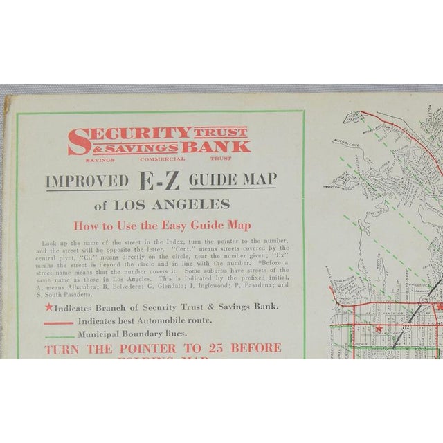
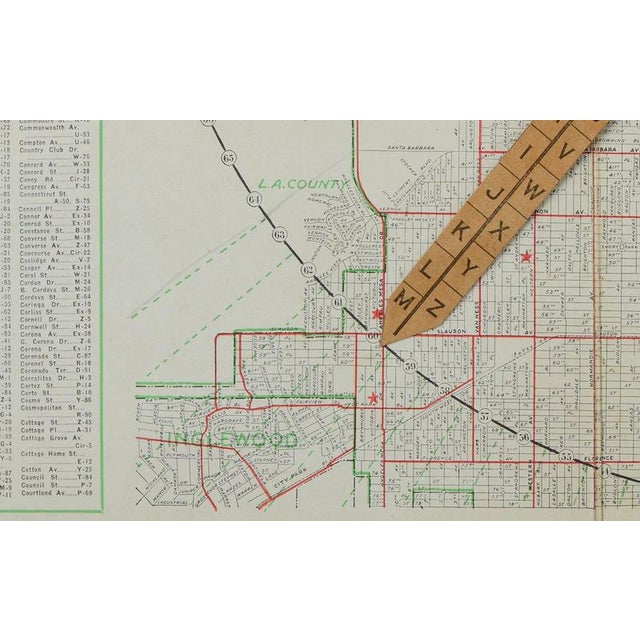
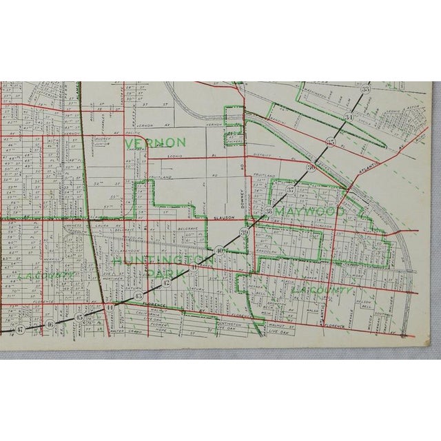
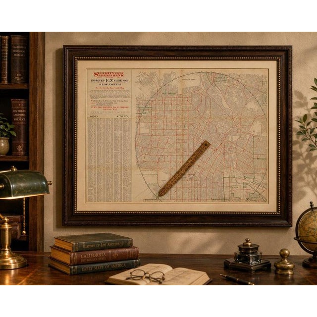
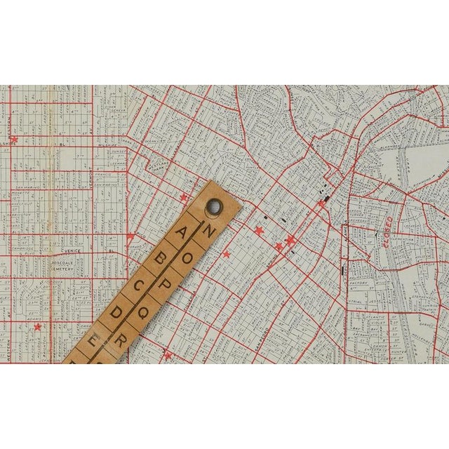
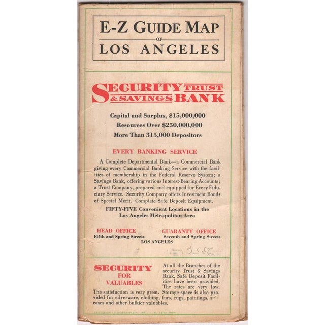
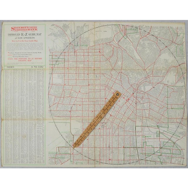
Antique e-z guide map of los angeles with rotating locator, 1927 description: an unusual and highly decorative 1927 street map … Read more Antique e-z guide map of los angeles with rotating locator, 1927 description: an unusual and highly decorative 1927 street map of los angeles featuring an ingenious original rotating wooden locator, published as an advertising map for the security trust & savings bank. The detailed map covers central los angeles and the rapidly developing surrounding communities, including hollywood, glendale, south pasadena, inglewood, huntington park and vernon. Numerous period landmarks and destinations are identified, including griffith park, elysian park, exposition park and hollywood cemetery. What makes this map particularly distinctive is its interactive e-z locating system. A wooden pointer is attached to the map by its original metal rivet. The circumference of the map is numbered while the pointer carries letters from a to z. By consulting the extensive street and place-name index, the user could rotate the pointer to the appropriate combination of letter and number and quickly locate a destination on the map. The large index at left lists hundreds of los angeles streets and locations, while the printed red and green lines distinguish principal automobile routes, municipal boundaries and branches of the security trust & savings bank. Published on substantial card stock for security trust & savings bank. The original folding cover survives and advertises the bank's 55 locations throughout metropolitan los angeles. The lower imprint on the cover is dated 12-27, confirming publication in 1927. A fascinating survivor from the explosive growth of los angeles during the 1920s and an especially appealing piece for collectors of california, los angeles, early motoring, advertising and unusual cartographic design. Creator clason map company publisher security trust & savings bank, los angeles date 1927, dated medium lithographically printed map in red, green and black on card stock, with original rotating wooden locator and metal rivet. Dimensions approximately 16.6 × 12.8 inches (42.2 × 32.5 cm). Condition good antique condition. Issued folding, with the original fold lines, scattered spotting, age toning and light wear along the folds and edges. The important rotating wooden locator remains present and attached. Please examine the photographs carefully for condition. Style art deco / american commercial cartography / early motoring & travel subject los angeles, california; hollywood; glendale; urban development; street mapping; automobiles; banking and advertising. Notes an original 1927 map, not a modern reproduction. The surviving movable locator is an integral and particularly unusual feature of the map. Sold unframed. See less
- Dimensions
- 16.54ʺW × 12.6ʺH
- Period
- 1920s
- Item Type
- Vintage, Antique or Pre-owned
- Materials
- Paper
- Condition
- Good Condition, Unknown, Some Imperfections
- Color
- Black
- Condition Notes
- Very Good — This vintage item has no defects, but it may show slight traces of use\. Wear consistent with … moreVery Good — This vintage item has no defects, but it may show slight traces of use\. Wear consistent with age and use, Issued folding, with the original fold lines, scattered spotting, age toning and light wear along the folds and edges, The important rotating wooden locator remains present and attached less
Returns & Cancellations
Return Policy - All sales are final 48 hours after delivery, unless otherwise specified in the description of the product.
Cancellation Policy - Prior to shipping or local pickup, buyers may cancel an order for up to 48 hours, unless otherwise specified.