


Details
Description
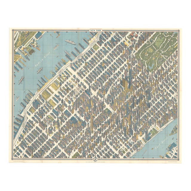
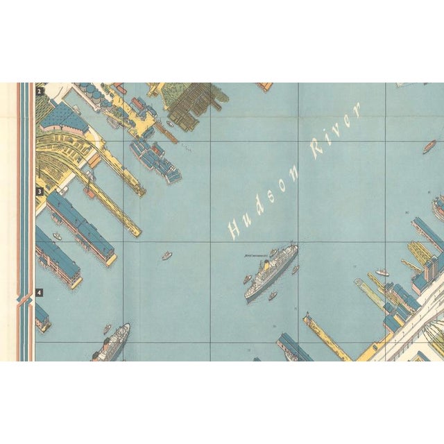
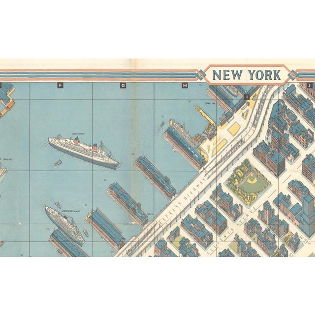
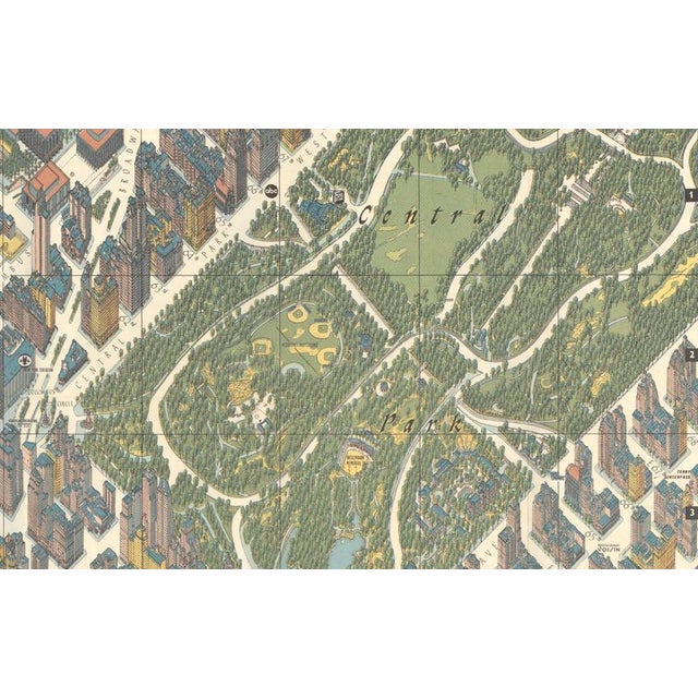
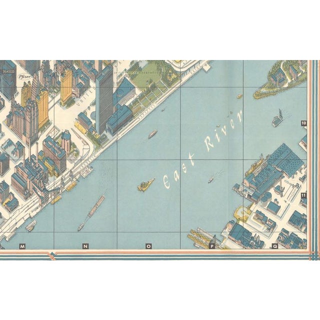
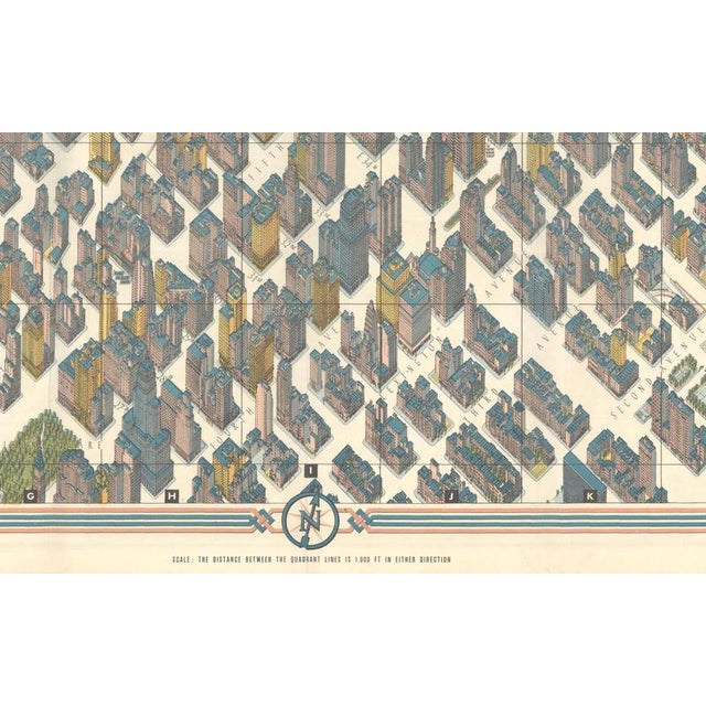
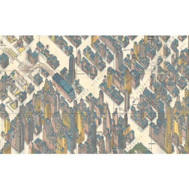
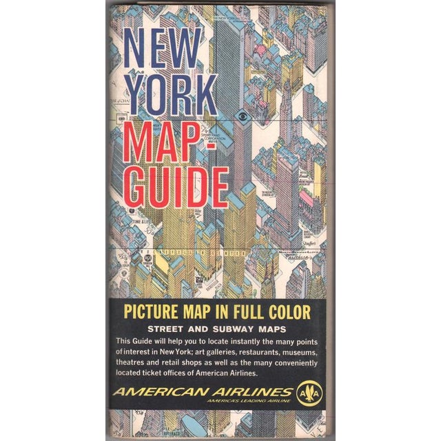
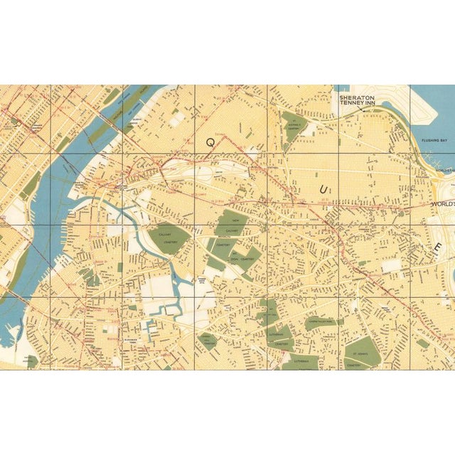
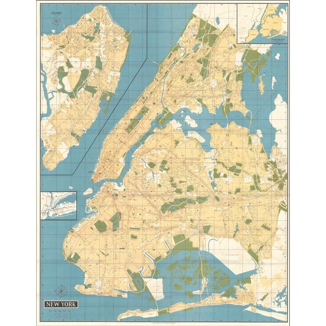
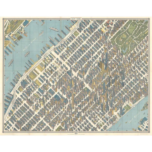
Hermann bollmann new york city bird’s-eye map for american airlines, 1964 description: original vintage pictorial map and travel guide to … Read more Hermann bollmann new york city bird’s-eye map for american airlines, 1964 description: original vintage pictorial map and travel guide to new york city, published for american airlines circa 1960. The principal image is a spectacular bird’s-eye view of manhattan, looking across the city from the hudson river toward the east river. Hundreds of individual buildings are rendered in three-dimensional perspective, creating an exceptionally detailed portrait of mid-20th-century new york. Central park dominates the upper right, while the hudson waterfront, piers, ocean liners, streets, skyscrapers and landmarks of manhattan are depicted throughout. The map captures new york during the great postwar era of air travel and urban development. The illustrated skyline includes many recognizable buildings and provides a fascinating record of manhattan before the dramatic transformation of the city in subsequent decades. The reverse contains a large conventional street and transportation map covering all five boroughs of new york city and adjoining areas of new jersey, together with inset regional maps. Originally issued as a folding tourist guide, the colorful cover reads “new york map-guide – picture map in full color – street and subway maps” and prominently advertises american airlines, described as “america’s leading airline.” the cover itself is a wonderful piece of period aviation and travel graphic design. An especially decorative example of mid-century american pictorial cartography combining new york architecture, transportation, tourism and the golden age of commercial aviation. Publisher published as a new york map-guide for american airlines. Date circa 1960 medium lithographically printed map in color on paper. Dimensions please refer to the listing dimensions for the exact sheet size. Condition good vintage condition. Originally issued folding and retaining the expected fold lines. Some light age toning, handling marks and minor wear consistent with its original use as a travel map. Colors remain attractive and the detailed bird’s-eye view presents very well. Please examine the photographs carefully for condition. Style mid-century modern / american pictorial cartography / vintage travel & aviation subject new york city; manhattan; central park; hudson river; east river; american airlines; aviation; architecture; skyscrapers; tourism and travel. Notes an original vintage publication, not a modern reproduction. The reverse is also fully printed with a large new york city street map and regional information. Sold unframed. See less
- Dimensions
- 41.73ʺW × 32.68ʺH
- Period
- 1960s
- Item Type
- Vintage, Antique or Pre-owned
- Materials
- Paper
- Condition
- Good Condition, Unknown, Some Imperfections
- Color
- Condition Notes
- Good — This vintage item remains fully functional, but it shows sign of age through scuffs, dings, faded finishes, minimal … moreGood — This vintage item remains fully functional, but it shows sign of age through scuffs, dings, faded finishes, minimal upholstery defects, or visible repairs\. Wear consistent with age and use, Originally issued folding and retaining the expected fold lines, Some light age toning, handling marks and minor wear less
Returns & Cancellations
Return Policy - All sales are final 48 hours after delivery, unless otherwise specified in the description of the product.
Cancellation Policy - Prior to shipping or local pickup, buyers may cancel an order for up to 48 hours, unless otherwise specified.