

Details
Description
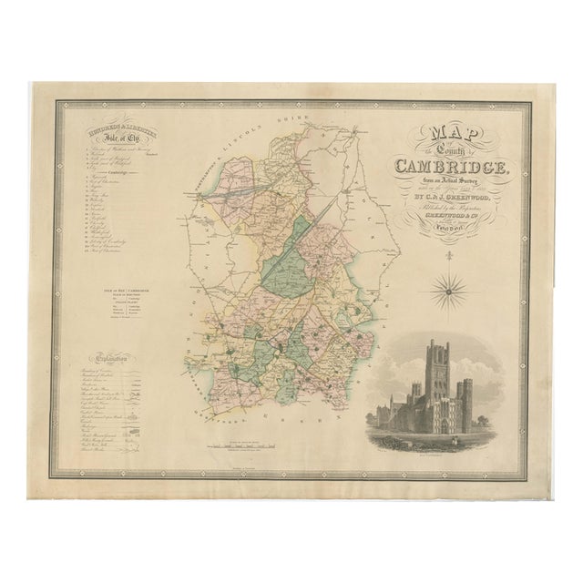
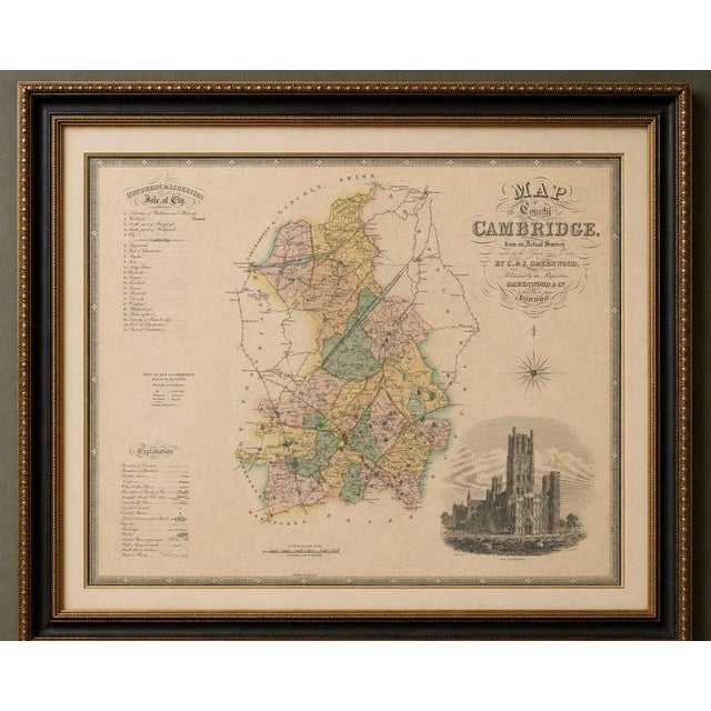
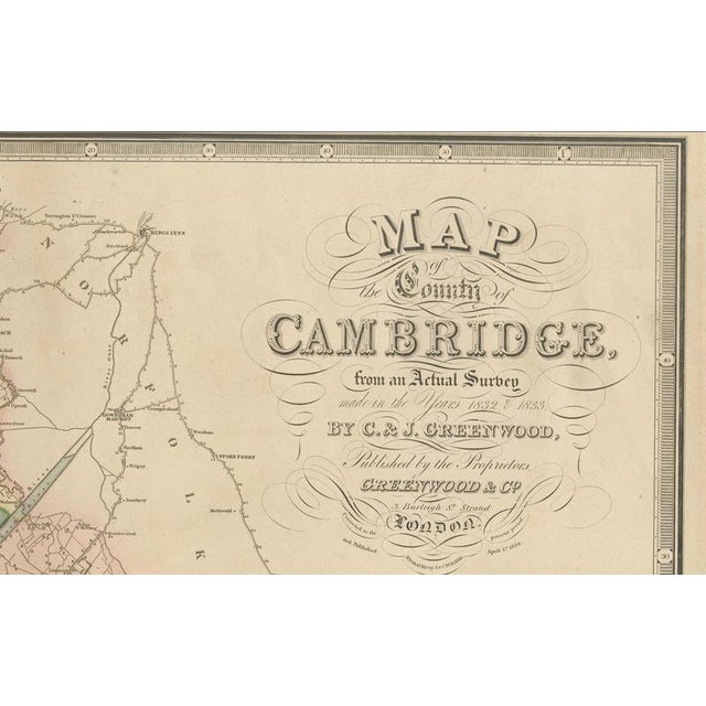
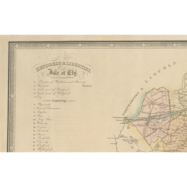
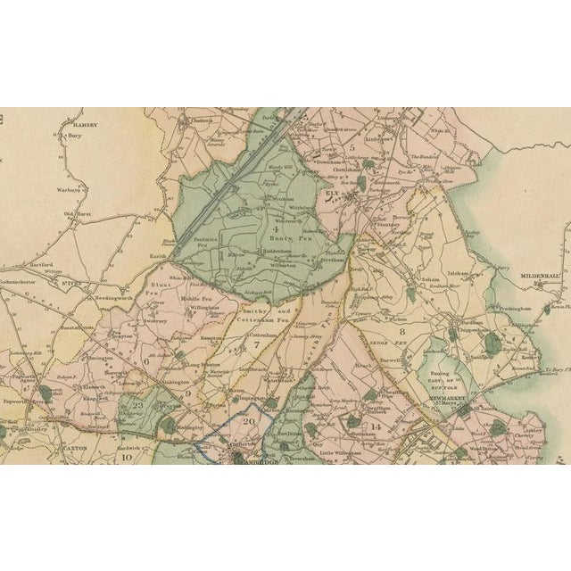
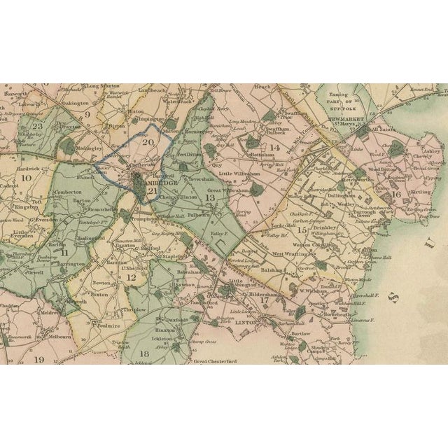
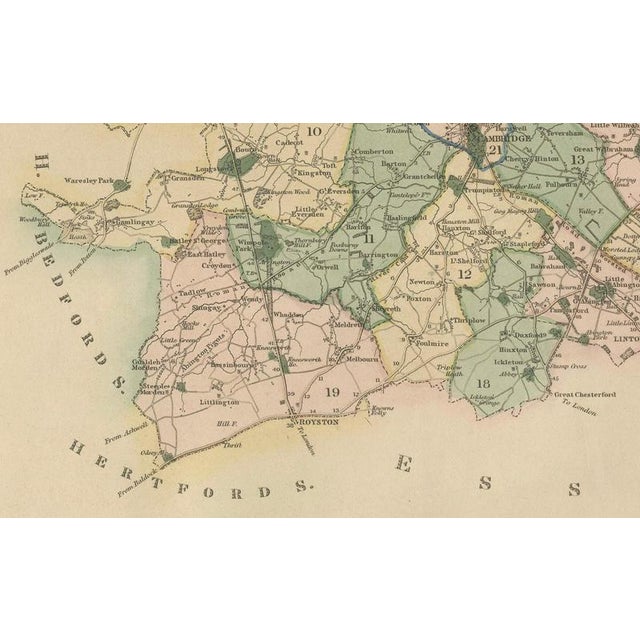
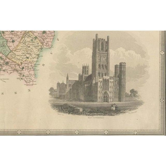
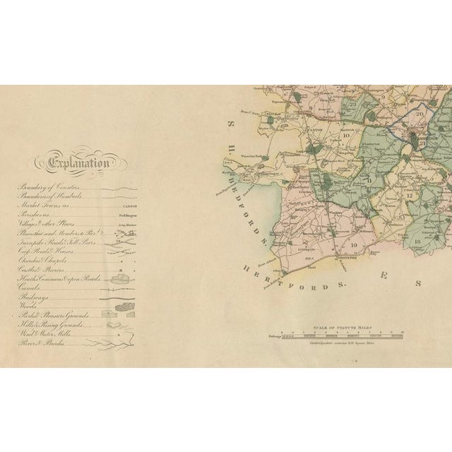
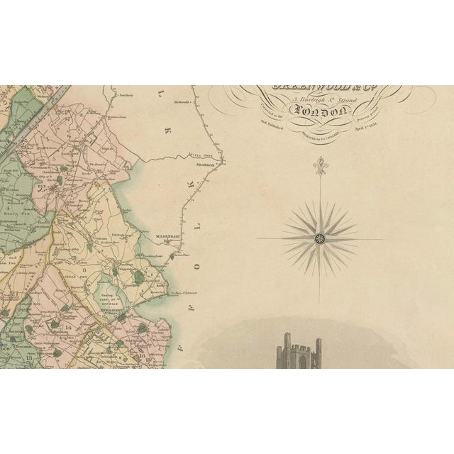
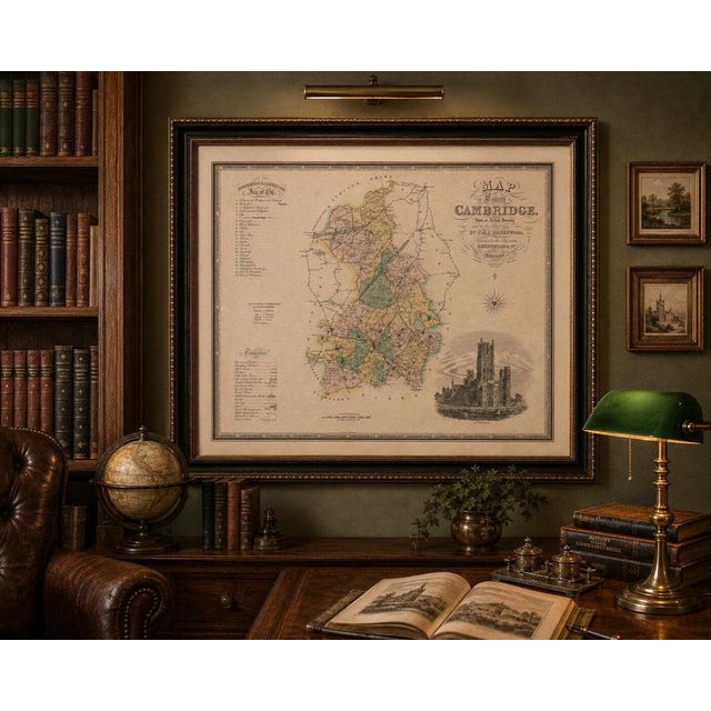
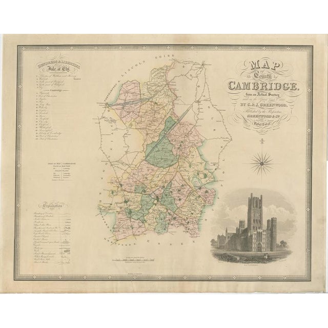
Title: antique map of cambridgeshire with ely cathedral by greenwood, 1834 description: original large-format engraved map of cambridgeshire by christopher … Read more Title: antique map of cambridgeshire with ely cathedral by greenwood, 1834 description: original large-format engraved map of cambridgeshire by christopher and john greenwood, published in london on april 1, 1834. Titled “map of the county of cambridge, from an actual survey made in the years 1832 & 1833,” the map was based on the greenwoods’ detailed county survey. It features attractive contemporary wash colouring distinguishing the administrative divisions, together with a list of the hundreds and liberties of the isle of ely, a table of explanations, mileage scale and finely engraved compass rose. At lower right is a particularly decorative architectural vignette of ely cathedral. An impressive and highly detailed early 19th-century english county map combining cartography with topographical illustration. Cartographers: christopher greenwood (1786–1855) and john greenwood publisher: greenwood & co., london date: april 1, 1834 origin: london, england medium: engraving with contemporary wash colouring on paper dimensions: 58 × 72 cm (22.8 × 28.3 in.) subject: cambridgeshire and the isle of ely, england style / period: william iv / early 19th century condition: good antique condition. General light age-related toning and occasional minor spotting and surface marks. Old fold lines and some light creasing are visible. Occasional marginal closed tears have been professionally or historically repaired. Some minor wear and irregularity to the sheet edges. The contemporary colouring remains attractive, while the engraved detail, decorative lettering, compass rose and ely cathedral vignette are well preserved. Please study the photographs carefully as they form an important part of the condition . Frame / presentation: sold unframed. Any framed or interior images shown are for presentation and inspiration only. Keywords: cambridgeshire map, cambridge map, greenwood map, christopher greenwood, john greenwood, ely cathedral, isle of ely, 1834 map, english county map, antique english map, hand coloured map, william iv, british cartography, historical cambridge, cambridge university, antique cartography, architectural vignette, 19th century map See less
- Dimensions
- 28.35ʺW × 22.83ʺH
- Period
- 19th Century
- Country of Origin
- United Kingdom
- Item Type
- Vintage, Antique or Pre-owned
- Materials
- Paper
- Condition
- Good Condition, Unknown, Some Imperfections
- Color
- Gold
- Condition Notes
- Very Good — This vintage item has no defects, but it may show slight traces of use\. Wear consistent with … moreVery Good — This vintage item has no defects, but it may show slight traces of use\. Wear consistent with age and use, Original central fold as issued, with slight toning and discoloration along the fold, General light age-related toning, occasional minor spotting and surface marks, Some light marginal wear consist less
Returns & Cancellations
Return Policy - All sales are final 48 hours after delivery, unless otherwise specified in the description of the product.
Cancellation Policy - Prior to shipping or local pickup, buyers may cancel an order for up to 48 hours, unless otherwise specified.