

Details
Description
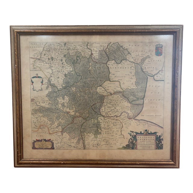
Original 17th-century engraved map by Dutch cartographer Joan Blaeu depicting the Fenlands and surrounding counties of eastern England. Titled Regiones …
Read more
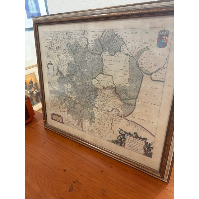
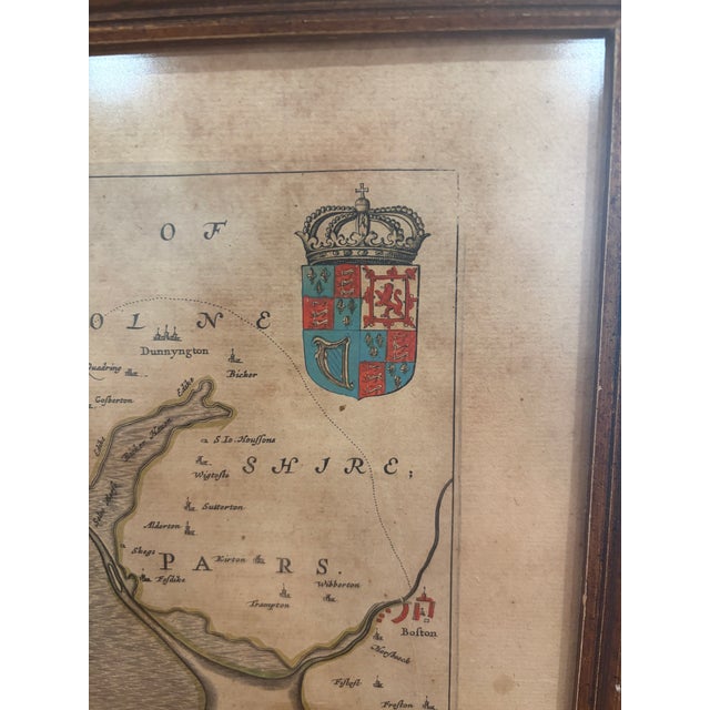
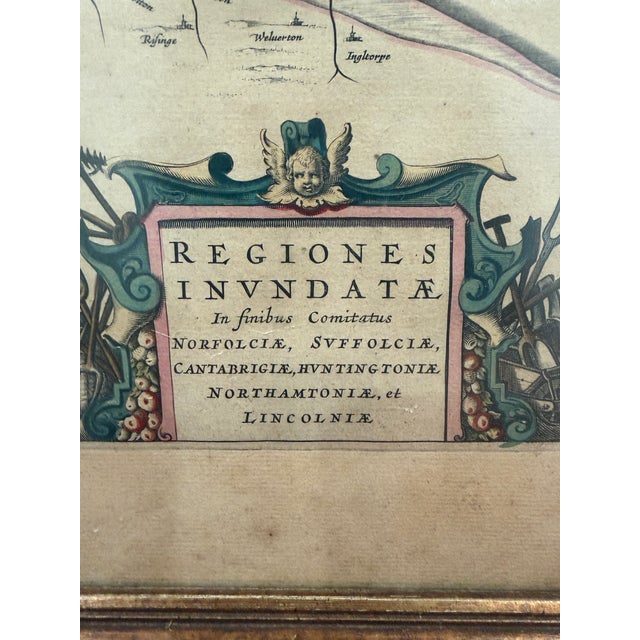
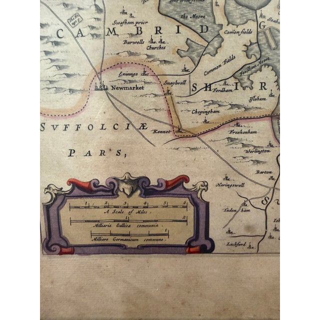
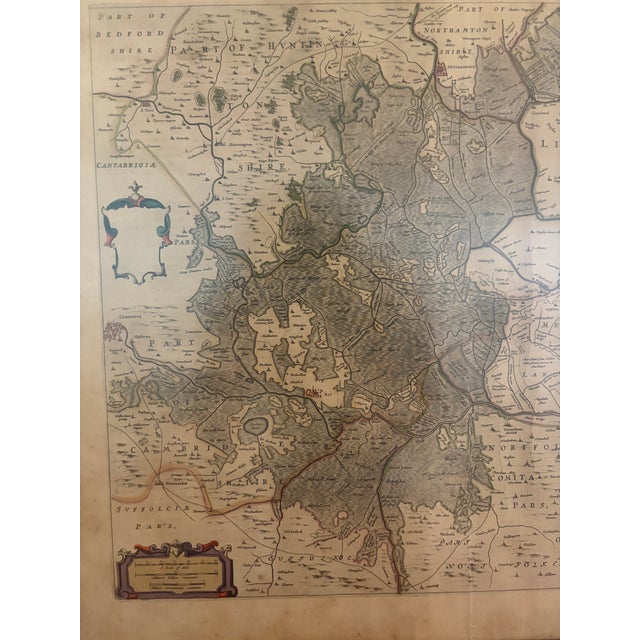
Original 17th-century engraved map by Dutch cartographer Joan Blaeu depicting the Fenlands and surrounding counties of eastern England. Titled Regiones Inundatae, the map details the historically flood-prone region around the Fens, including portions of Cambridgeshire, Huntingdonshire, Northamptonshire, Lincolnshire, Norfolk and Suffolk.
Finely engraved with period-style hand coloring and decorative cartouches, including a scale at lower left and the elaborate Regiones Inundatae title cartouche at lower right. The North Sea is identified as Oceanus Germanicus.
Presented under glass in a traditional gilt wood frame.
See less
- Dimensions
- 27ʺW × 1ʺD × 23ʺH
- Styles
- Traditional
- Frame Type
- Framed
- Period
- 17th Century
- Country of Origin
- Netherlands
- Item Type
- Vintage, Antique or Pre-owned
- Materials
- Giltwood
- Condition
- Good Condition, Original Condition Unaltered, Some Imperfections
- Color
- Antique White
- Condition Notes
- The map displays toning, spotting and other age-related characteristics consistent with its age. The frame also shows wear. The map displays toning, spotting and other age-related characteristics consistent with its age. The frame also shows wear. less
Questions about the item?
Returns & Cancellations
Return Policy - All sales are final 48 hours after delivery, unless otherwise specified in the description of the product.
Cancellation Policy - Prior to shipping or local pickup, buyers may cancel an order for up to 48 hours, unless otherwise specified.