

Details
Description
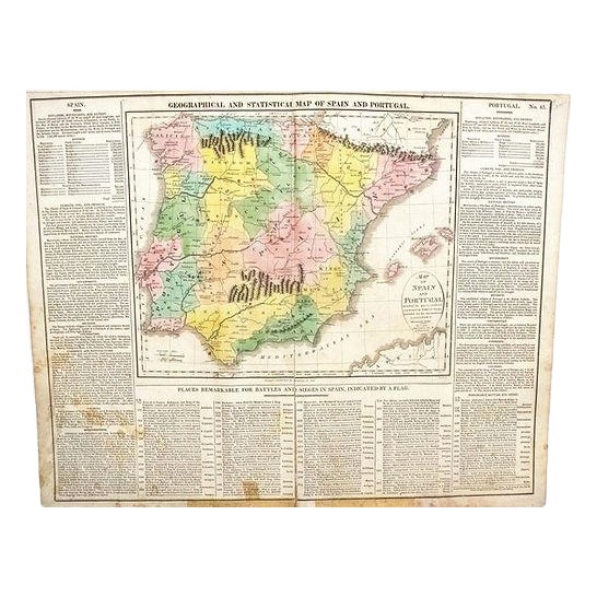
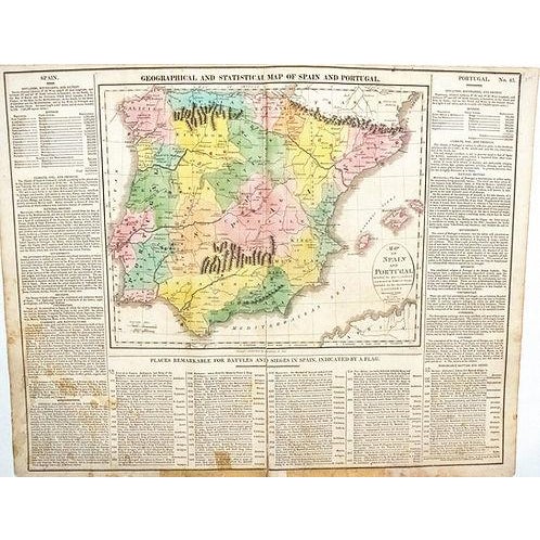
Colorful map of Spain and Portugal. Title: Geographical and Statistical Map of Spain and Portugal; created by M Lavoisne, 1820, … Read more Colorful map of Spain and Portugal. Title: Geographical and Statistical Map of Spain and Portugal; created by M Lavoisne, 1820, Philadelphia. This Copper Plate map shows geographical features, with prominent mountain display as well as battles. A large amount of information listed on two sides and bottom. US edition after English edition of this originally French Atlas map. Hand colored. M. Carey Pub. See less
- Dimensions
- 20.5ʺW × 0.1ʺD × 16.5ʺH
- Styles
- Traditional
- Frame Type
- Unframed
- Period
- Early 19th Century
- Country of Origin
- United States
- Item Type
- Vintage, Antique or Pre-owned
- Materials
- Paper
- Condition
- Good Condition, Original Condition Unaltered, Some Imperfections
- Color
- White
- Condition Notes
- Quite good, slight age toning on margings and at issued centerfold, modern conventional tape repair of issued fold, colored. Quite good, slight age toning on margings and at issued centerfold, modern conventional tape repair of issued fold, colored. less
Questions about the item?
Returns & Cancellations
Return Policy - All sales are final 48 hours after delivery, unless otherwise specified in the description of the product.
Cancellation Policy - Prior to shipping or local pickup, buyers may cancel an order for up to 48 hours, unless otherwise specified.