

Details
Description
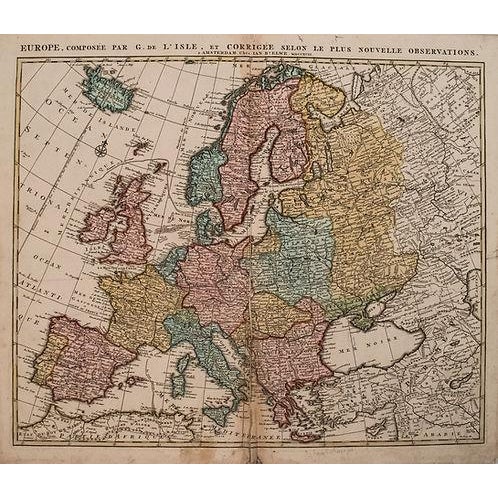
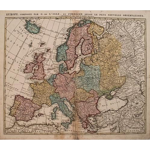
This is a superb, double page expansive map of Europe, extending from Iceland to the Caspian Sea, largely based on … Read more This is a superb, double page expansive map of Europe, extending from Iceland to the Caspian Sea, largely based on the cartography of Delisle. Title:Europe, Composee par G. de l'Isle, et Corriggee Selon le plus Nouvelle Observations, created by J Elwe, 1792, Amsterdam. The map is filled with many detail of topography, rivers, lakes, settlements. The countries are color-coded. The prime meridian is shown bisecting Iceland, fixed at the Isle de Fer per Louis the XIII. From Elwe's monumental 'Atlas'. See less
- Dimensions
- 23.5ʺW × 0.1ʺD × 19.2ʺH
- Styles
- Traditional
- Frame Type
- Unframed
- Period
- Late 18th Century
- Country of Origin
- Netherlands
- Item Type
- Vintage, Antique or Pre-owned
- Materials
- Paper
- Condition
- Good Condition, Original Condition Unaltered, Some Imperfections
- Color
- White
- Condition Notes
- Good. On laid paper. Staining and slight damp staining mostly in margins. Issued centerfold with split closed on verso. Superb … moreGood. On laid paper. Staining and slight damp staining mostly in margins. Issued centerfold with split closed on verso. Superb original hand-color. less
Questions about the item?
Returns & Cancellations
Return Policy - All sales are final 48 hours after delivery, unless otherwise specified in the description of the product.
Cancellation Policy - Prior to shipping or local pickup, buyers may cancel an order for up to 48 hours, unless otherwise specified.