

Details
Description
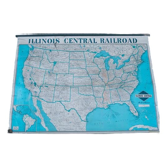
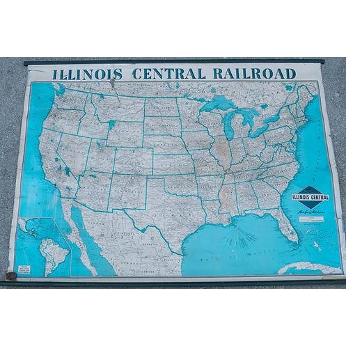
A very attractive Railroad wall map of the Illinois Central Rail routes and the USA in general. Also shows sea … Read more A very attractive Railroad wall map of the Illinois Central Rail routes and the USA in general. Also shows sea routes from the port of New Orleans extending to South America, which is featured in an insert. Title: Illinois Central Rail Road; created by Rand McNally, 1940s. See less
- Dimensions
- 56ʺW × 0.1ʺD × 42ʺH
- Styles
- Traditional
- Frame Type
- Unframed
- Period
- 1940s
- Country of Origin
- United States
- Item Type
- Vintage, Antique or Pre-owned
Shop Sustainably with Chairish
- Materials
- Paper
- Condition
- Good Condition, Original Condition Unaltered, Some Imperfections
- Color
- White
- Condition Notes
- Good overall. Some sepations. Professionally and also not professionally closed tears. Good overall. Some sepations. Professionally and also not professionally closed tears. less
Questions about the item?
Returns & Cancellations
Return Policy - All sales are final 48 hours after delivery, unless otherwise specified in the description of the product.
Cancellation Policy - Prior to shipping or local pickup, buyers may cancel an order for up to 48 hours, unless otherwise specified.