

Details
Description
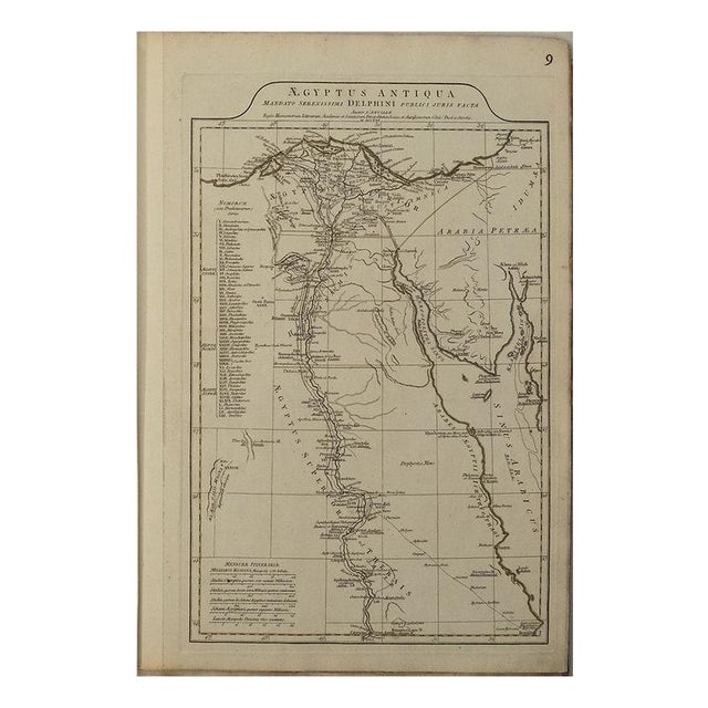
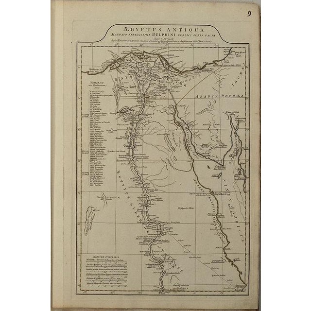
This very attractive map of Ancient Egypt divided into four districts: Aegyptus Inferior, Heptanomis, Aegyptus Superior or Thebaise, and Arabia … Read more This very attractive map of Ancient Egypt divided into four districts: Aegyptus Inferior, Heptanomis, Aegyptus Superior or Thebaise, and Arabia Petraea that includes Gaza. Title: Aegyptus Antiqua Mandato Serenissimi Delphini Publici Juris Facta. . . MDCCLXV, created by J d'Anville 1765. The Nile dominates, shown from the Cataracts Syene to the Mediterranean Sea. Great deal of detail is shown, including the pyramids, the Natron valley, rivers, cities, roads, oases etc. Both ancient (underscored) and contemporary place names are included. A table gives the Nomorum, or administrative districts of Upper and Lower Egypt, which are depicted by Roman numerals on the map. Published in London by Robert Sayer. See less
- Dimensions
- 12.3ʺW × 0.1ʺD × 19.3ʺH
- Styles
- Traditional
- Frame Type
- Unframed
- Period
- Mid 18th Century
- Country of Origin
- United Kingdom
- Item Type
- Vintage, Antique or Pre-owned
- Materials
- Paper
- Condition
- Good Condition, Original Condition Unaltered, Some Imperfections
- Color
- White
- Condition Notes
- Very Good - Excellent. Slight toning, mostly at margins. Slight soiling. Nicely color outlined. Very Good - Excellent. Slight toning, mostly at margins. Slight soiling. Nicely color outlined. less
Questions about the item?
Returns & Cancellations
Return Policy - All sales are final 48 hours after delivery, unless otherwise specified in the description of the product.
Cancellation Policy - Prior to shipping or local pickup, buyers may cancel an order for up to 48 hours, unless otherwise specified.