

Details
Description
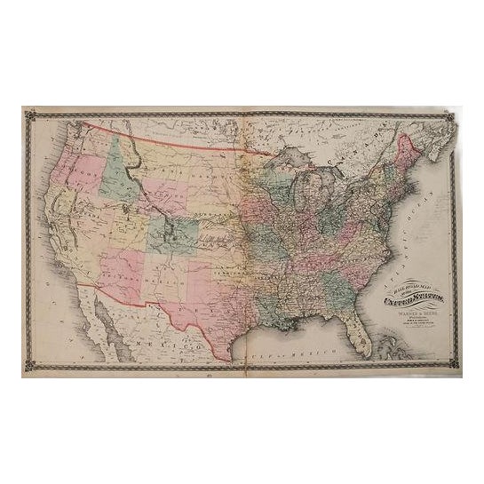
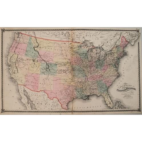
This is a very nice, rarer, double page map showing the extent of the railroad network throughout the United States. … Read more This is a very nice, rarer, double page map showing the extent of the railroad network throughout the United States. Title: Railroad Map of the United States; Published by Warner Beers, 1875, Chicago. The first transcontinental railroad had only been completed five years earlier with the joining of the Central Pacific and Union Pacific Railroads. This railroad paved the way for western expansion that is illustrated here with several new spur lines already connecting the mining districts in Colorado and the agricultural and cattle regions in Nebraska and Kansas. The next transcontinental routes are shown with the northern route completed to Bismarck, North Dakota, and the southern route reaching Ft. Chadbourne, Texas. The western territories are still relatively undeveloped outside of a few forts and towns along the wagon roads. See less
- Dimensions
- 28ʺW × 0.1ʺD × 16.5ʺH
- Styles
- Traditional
- Frame Type
- Unframed
- Period
- Early 19th Century
- Country of Origin
- United States
- Item Type
- Vintage, Antique or Pre-owned
- Materials
- Paper
- Condition
- Good Condition, Original Condition Unaltered, Some Imperfections
- Color
- Pink
- Condition Notes
- Good-Fair. Slight toning and soiling. Three small circular voids near the issued centerfold. Light pencil notations in the 'Atlantic Ocean'. … moreGood-Fair. Slight toning and soiling. Three small circular voids near the issued centerfold. Light pencil notations in the 'Atlantic Ocean'. Colored less
Questions about the item?
Returns & Cancellations
Return Policy - All sales are final 48 hours after delivery, unless otherwise specified in the description of the product.
Cancellation Policy - Prior to shipping or local pickup, buyers may cancel an order for up to 48 hours, unless otherwise specified.