









Details
Description
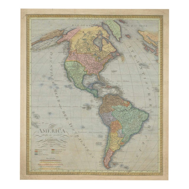
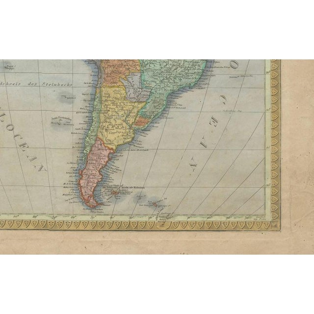
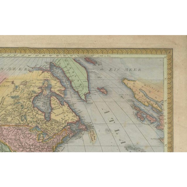
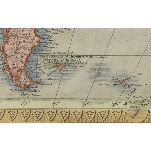
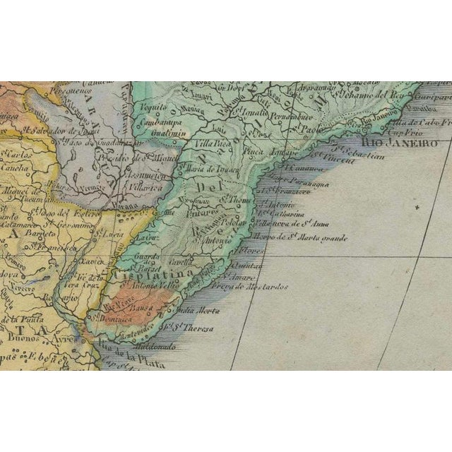
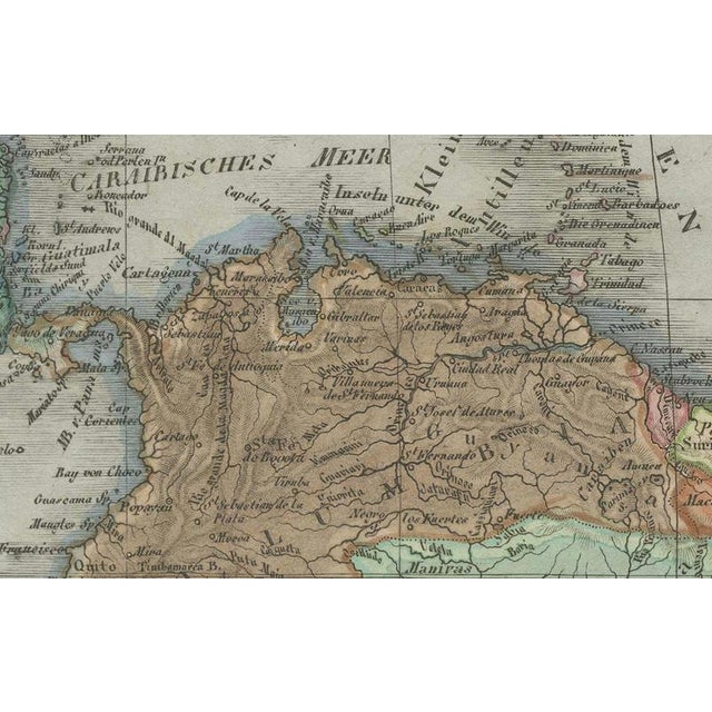
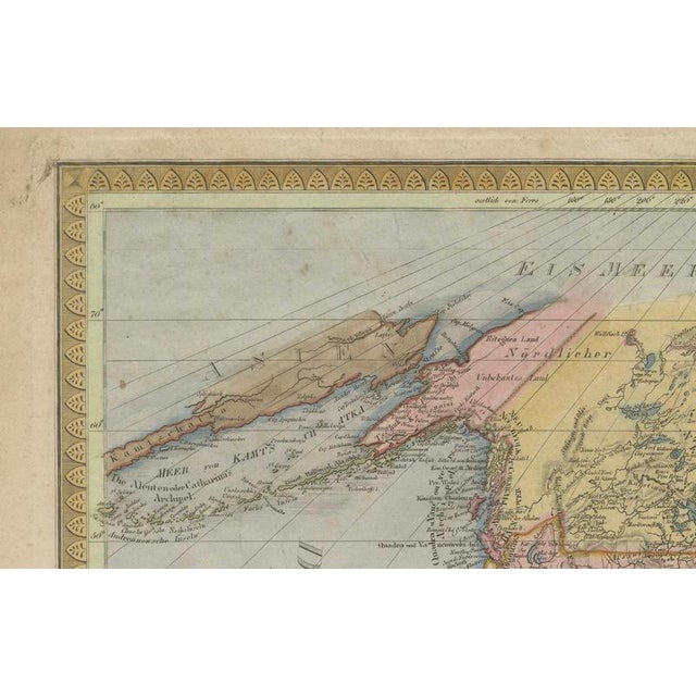
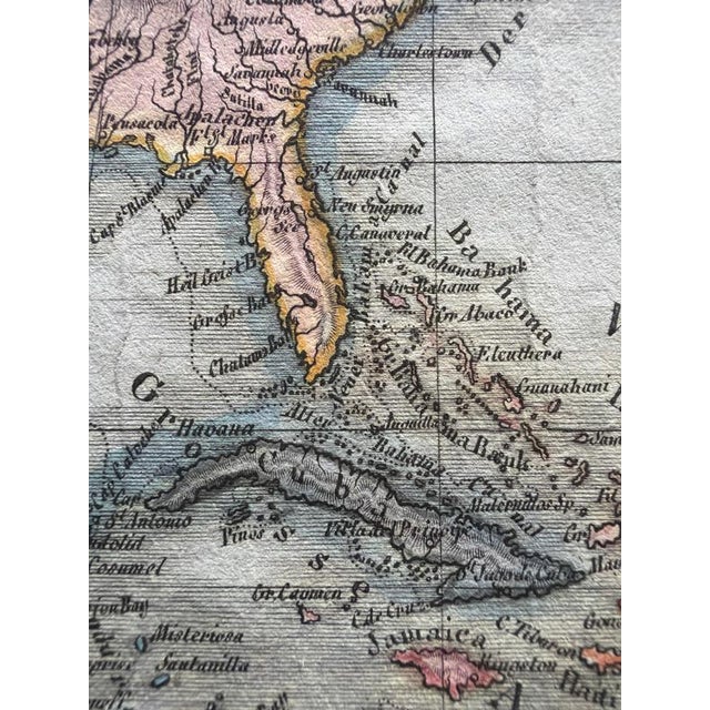
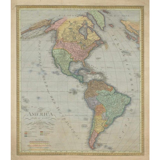
Large antique map of north & south america by c. F. Weiland, 1826 description: large and highly detailed original hand-colored … Read more Large antique map of north & south america by c. F. Weiland, 1826 description: large and highly detailed original hand-colored copper engraving map of north and south america, designed and drawn by the german cartographer carl ferdinand weiland and published in weimar in 1826. Entitled “america entworfen und gezeichnet von c. F. Weiland,” the map presents virtually the entire western hemisphere, extending from the arctic regions and greenland through canada, the united states, mexico and central america to the caribbean and the southern tip of south america. The different countries, colonies and political territories are distinguished by attractive period hand coloring. A color key in the lower-left corner identifies the principal colonial and political possessions, while finely engraved coastlines, mountain ranges, rivers, settlements and geographical names provide an exceptionally detailed picture of the americas during the first decades of the 19th century. Published during a period of profound political change, the map reflects the evolving geography of the americas following the independence movements that transformed much of central and south america during the early 19th century. The united states, mexico, brazil and the emerging south american states are shown alongside territories that remained under european control. The composition is particularly attractive, with north and south america forming a strong vertical axis through the center of the sheet. Greenland, the caribbean islands and portions of the pacific and atlantic oceans are also represented. An elegant repeating neoclassical ornamental border surrounds the map. With its substantial dimensions of 73 × 59 cm, attractive historical coloring and broad geographical coverage, this is an impressive example of early 19th-century german cartography. Original title “america entworfen und gezeichnet von c. F. Weiland” cartographer: carl ferdinand weiland (1782–1847) publisher: geographisches institut, weimar date: 1826 place of publication: weimar, germany medium: original hand-colored copper engraving on paper dimensions: 73 × 59 cm approximately 28.7 × 23.2 inches geographical coverage: north america canada united states mexico central america caribbean south america greenland atlantic ocean pacific ocean period / style: early 19th century neoclassical biedermeier period condition: fair antique condition. The sheet shows considerable age-related wear and handling. The paper is wrinkled and uneven, particularly throughout the broad margins outside the engraved image area. There are numerous creases and handling marks, together with some marginal tears, light browning, scattered spotting and staining. The margins are noticeably more affected than the actual printed map. Despite the overall wrinkling and age-related imperfections, the engraved image remains substantially complete and legible, and the attractive period coloring is well preserved. The condition has intentionally not been restored or disguised and reflects the history of this nearly 200-year-old map. Please examine all photographs carefully, as they form an integral part of the condition . Framing: offered unframed. Any framed or interior photographs shown are for presentation and inspiration only. Authenticity: an original antique hand-colored copper engraving map published in weimar in 1826. This is not a modern reproduction. Keywords: carl ferdinand weiland, c f weiland, america map, map of the americas, antique map america, north america map, south america map, united states map, canada map, mexico map, central america map, caribbean map, brazil map, greenland map, 1826 map, weimar map, geographisches institut weimar, german cartography, hand-colored map, copper engraving, early 19th century map, neoclassical map, biedermeier, historical cartography, latin america independence, antique americana, western hemisphere map, original antique map, large antique map See less
- Dimensions
- 23.23ʺW × 28.74ʺH
- Period
- Early 19th Century
- Country of Origin
- Austria
- Item Type
- Vintage, Antique or Pre-owned
- Materials
- Paper
- Condition
- Good Condition, Unknown, Some Imperfections
- Color
- Cream
- Condition Notes
- Good — This vintage item remains fully functional, but it shows sign of age through scuffs, dings, faded finishes, minimal … moreGood — This vintage item remains fully functional, but it shows sign of age through scuffs, dings, faded finishes, minimal upholstery defects, or visible repairs\. Wear consistent with age and use. Fair with considerable age-related wear and handling. The paper is wrinkled and uneven, particularly throughout the broad margins outside the engraved image area. There are numerous creases and handling marks, some margin less
Returns & Cancellations
Return Policy - All sales are final 48 hours after delivery, unless otherwise specified in the description of the product.
Cancellation Policy - Prior to shipping or local pickup, buyers may cancel an order for up to 48 hours, unless otherwise specified.