

Details
Description
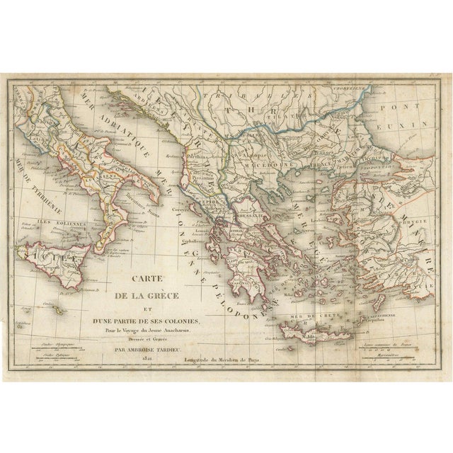
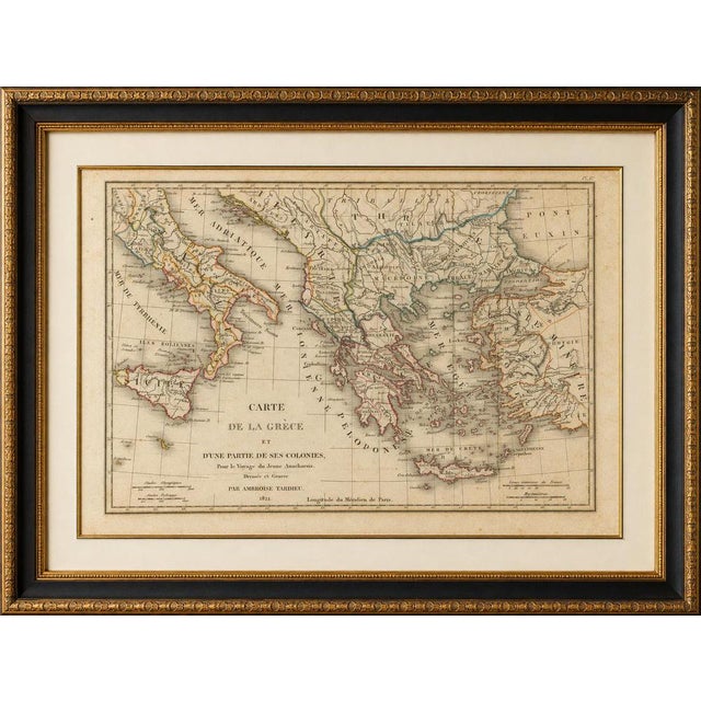
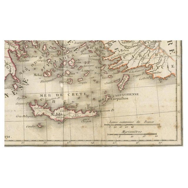
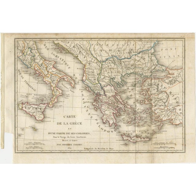
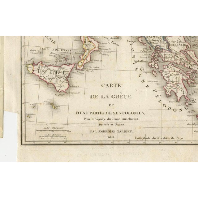
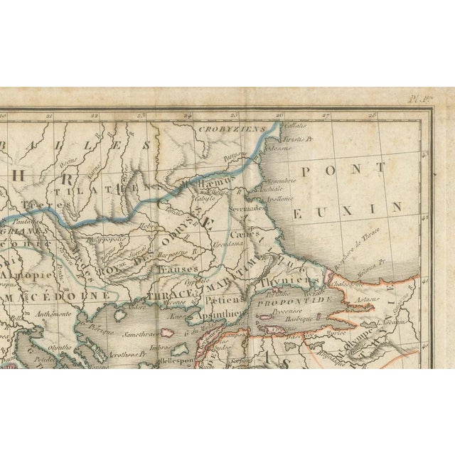
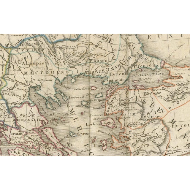
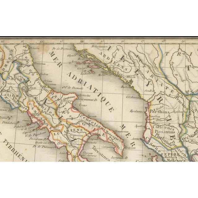
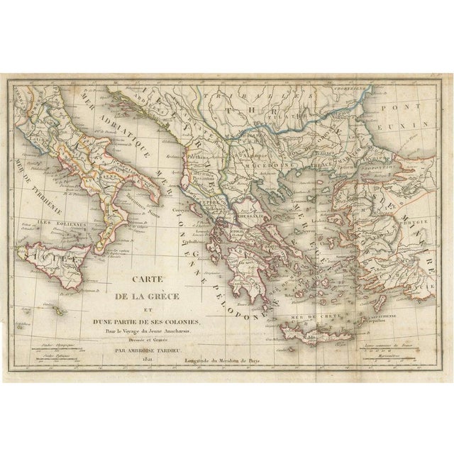
Antique Map of Ancient Greece and Its Colonies by Ambroise Tardieu, 1825 : Original antique map titled Carte de la … Read more Antique Map of Ancient Greece and Its Colonies by Ambroise Tardieu, 1825 : Original antique map titled Carte de la Grèce et d'une Partie de ses Colonies, drawn and engraved by Ambroise Tardieu in 1821 and issued in the 1825 Paris atlas accompanying Voyage du Jeune Anacharsis en Grèce by Abbé Jean-Jacques Barthélemy. The map depicts the geography of the ancient Greek world and its colonies throughout the Mediterranean. It extends from southern Italy and Sicily across mainland Greece, the Peloponnese, Macedonia and Thrace to the western coast of Asia Minor, and includes Crete and numerous islands of the Aegean. Ancient regions, cities, rivers, mountains and coastlines are shown in considerable detail. Original outline coloring highlights territorial and regional divisions. The inscription beneath the map reads: “Dressée et Gravée par Ambroise Tardieu. 1821.” This example comes from the 1825 edition of the atlas published in Paris by Étienne Ledoux, as confirmed by the accompanying title page: Voyage du Jeune Anacharsis en Grèce, vers le milieu du quatrième siècle avant l'ère vulgaire, par l'Abbé Barthélemy. Atlas. Paris, Étienne Ledoux, 1825. Jean-Jacques Barthélemy's Voyage du Jeune Anacharsis en Grèce was one of the most influential works on classical Greece of the late eighteenth and early nineteenth centuries. Written as the fictional travels of the young Scythian Anacharsis through fourth-century BC Greece, the work was accompanied by maps and archaeological illustrations intended to reconstruct the geography and monuments of the ancient Greek world. Maker / Cartographer: Ambroise Tardieu Author: Jean-Jacques Barthélemy Title: Carte de la Grèce et d'une Partie de ses Colonies Map dated: 1821 Atlas edition: 1825 Publisher: Étienne Ledoux Place of publication: Paris This is an original antique map, not a modern reproduction. Any framed or interior images are for imagination and inspiration only. The map is sold unframed. Condition: Fair condition considering its age. Age-related toning and occasional foxing. A few folding lines as issued. Small marginal imperfections and wear, including a tight lower left margin, but the printed image is intact. Please study the images. Keywords: Ancient Greece, Greek Colonies, Peloponnese, Magna Graecia, Sicily, Crete, Asia Minor, Mediterranean, Classical Antiquity, Ambroise Tardieu, Voyage du Jeune Anacharsis, Historical Map, Antique Map, Cartography, 1821, France, Original Engraving, Hand Coloured Map, Classical History, Decorative Map. See less
- Dimensions
- 12.6ʺW × 8.66ʺH
- Period
- Early 19th Century
- Country of Origin
- France
- Item Type
- Vintage, Antique or Pre-owned
- Materials
- Paper
- Condition
- Good Condition, Unknown, Some Imperfections
- Color
- Beige
- Condition Notes
- Good — This vintage item remains fully functional, but it shows sign of age through scuffs, dings, faded finishes, minimal … moreGood — This vintage item remains fully functional, but it shows sign of age through scuffs, dings, faded finishes, minimal upholstery defects, or visible repairs\. Age-related toning and occasional foxing, A few folding lines as issued, Small marginal imperfections and wear, including a tight lower left margin less
Returns & Cancellations
Return Policy - All sales are final 48 hours after delivery, unless otherwise specified in the description of the product.
Cancellation Policy - Prior to shipping or local pickup, buyers may cancel an order for up to 48 hours, unless otherwise specified.