





Details
Description
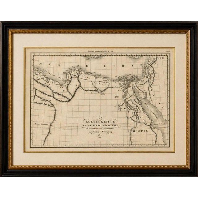
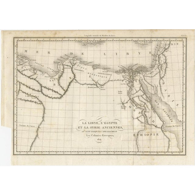
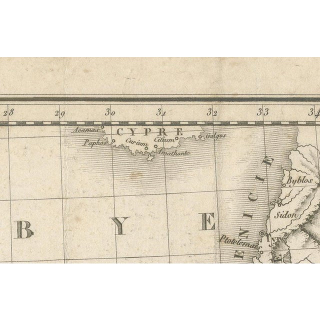
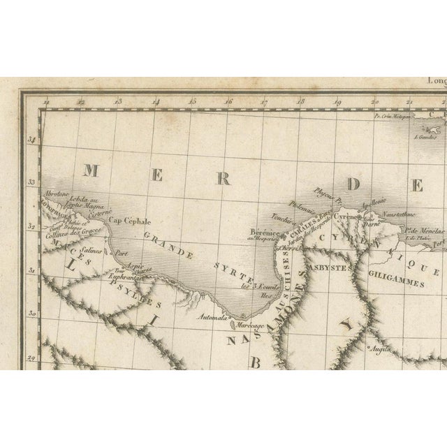
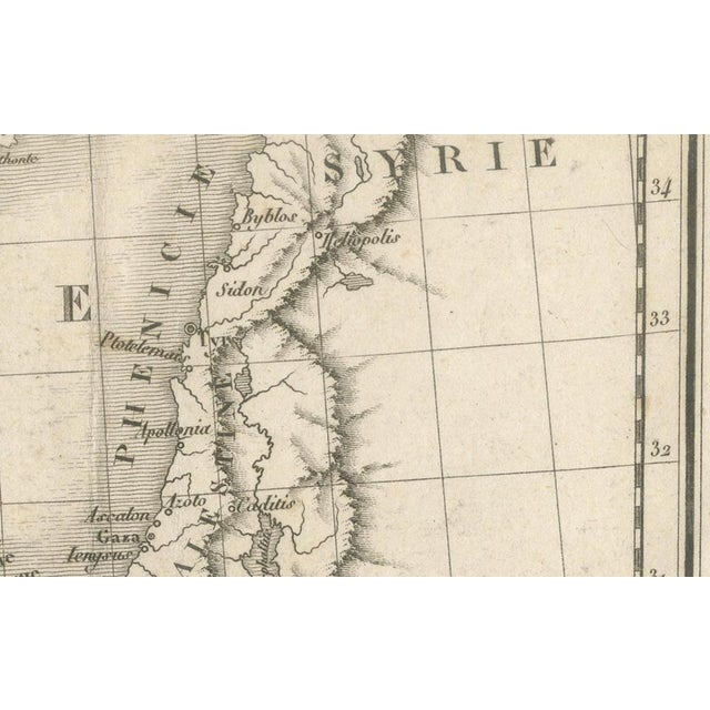
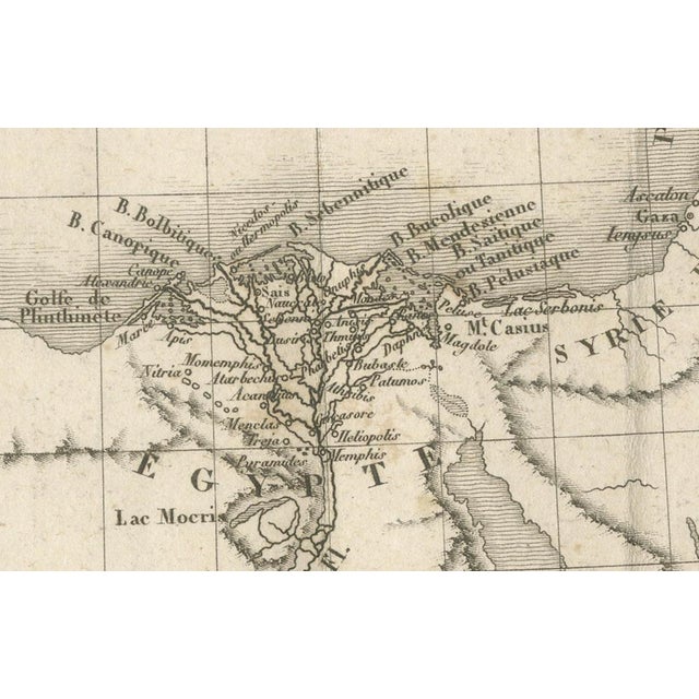
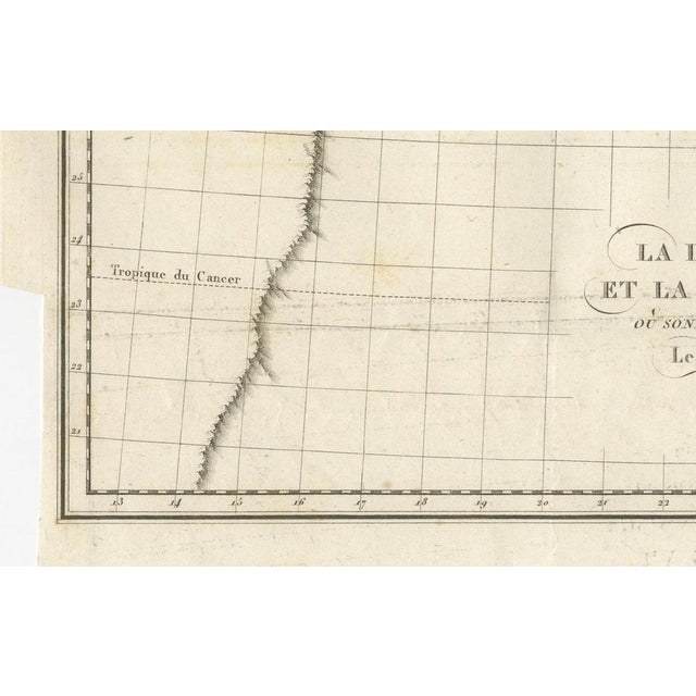
Antique Map of Ancient Egypt, Libya and Syria by Ambroise Tardieu, 1824 : Original antique map titled La Libye, L'Égypte … Read more Antique Map of Ancient Egypt, Libya and Syria by Ambroise Tardieu, 1824 : Original antique map titled La Libye, L'Égypte et la Syrie Anciennes, où sont indiquées spécialement les Colonies Grecques, engraved by Ambroise Tardieu in 1824 for the atlas accompanying Voyage du Jeune Anacharsis en Grèce by Abbé Jean-Jacques Barthélemy. This beautifully engraved map depicts the ancient lands of Libya, Egypt, and Syria, with particular emphasis on the Greek colonies established throughout the eastern Mediterranean. The map extends from North Africa across the Nile Valley and the Sinai Peninsula to Palestine, Phoenicia, and Syria, illustrating the geographical setting of the classical world. The Nile River and its fertile delta are shown in remarkable detail, together with ancient cities, mountain ranges, deserts, oases, and coastlines. Numerous classical place names are identified, making the map both an attractive decorative piece and an important historical reference for the study of antiquity. Published as part of the celebrated Atlas to Voyage du Jeune Anacharsis en Grèce, the map was intended to accompany Barthélemy's influential account of the ancient Greek world. The plate is dated 1824, while the atlas itself was published in Paris in 1825 by Étienne Ledoux. Maker: Ambroise Tardieu (1788–1841) Author: Abbé Jean-Jacques Barthélemy Title: La Libye, L'Égypte et la Syrie Anciennes, où sont indiquées spécialement les Colonies Grecques Publication: Voyage du Jeune Anacharsis en Grèce, Atlas Publisher: Étienne Ledoux Place of Publication: Paris Date: 1824 (atlas published 1825) Condition: Good condition considering its age. Original folds as issued. Light age toning, scattered foxing, and minor handling wear. Small marginal imperfections consistent with age. Please study the photographs carefully as they form part of the condition . This is an original antique map, not a modern reproduction. Any framed or interior photographs are for display purposes only. The map is sold unframed. Keywords: Ancient Egypt, Ancient Libya, Ancient Syria, Nile River, Nile Delta, Greek Colonies, Phoenicia, Palestine, Sinai, Levant, Eastern Mediterranean, Classical Antiquity, Ambroise Tardieu, Abbé Barthélemy, Voyage du Jeune Anacharsis, Historical Map, Antique Map, Paris, 1824, 1825, French Cartography, Original Engraving See less
- Dimensions
- 12.6ʺW × 8.66ʺH
- Period
- Early 19th Century
- Country of Origin
- France
- Item Type
- Vintage, Antique or Pre-owned
- Materials
- Paper
- Condition
- Good Condition, Unknown, Some Imperfections
- Color
- Gold
- Condition Notes
- Very Good — This vintage item has no defects, but it may show slight traces of use\. Light age toning, … moreVery Good — This vintage item has no defects, but it may show slight traces of use\. Light age toning, scattered foxing, and minor handling wear, Small marginal imperfections less
Returns & Cancellations
Return Policy - All sales are final 48 hours after delivery, unless otherwise specified in the description of the product.
Cancellation Policy - Prior to shipping or local pickup, buyers may cancel an order for up to 48 hours, unless otherwise specified.