





Details
Description
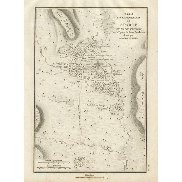
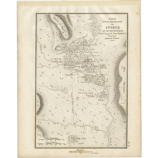
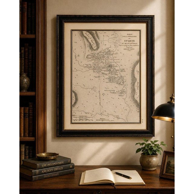
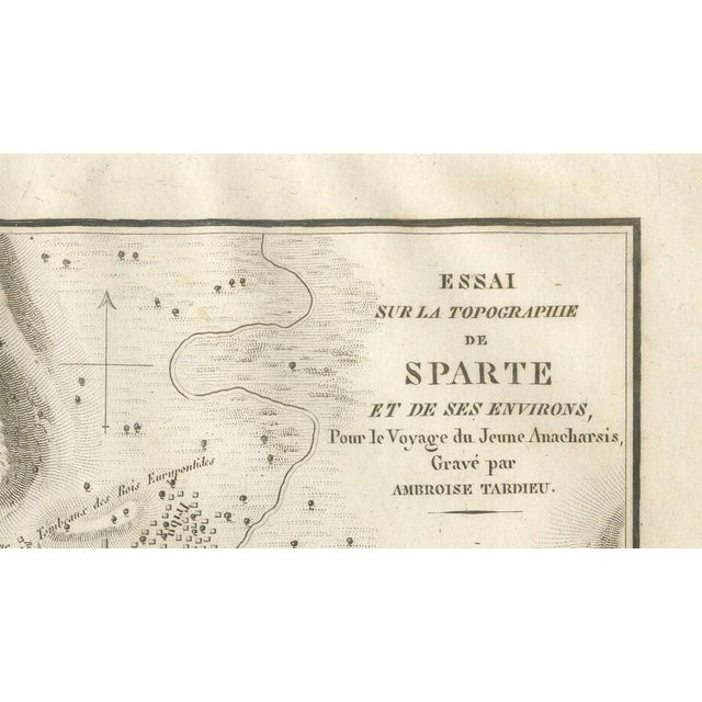
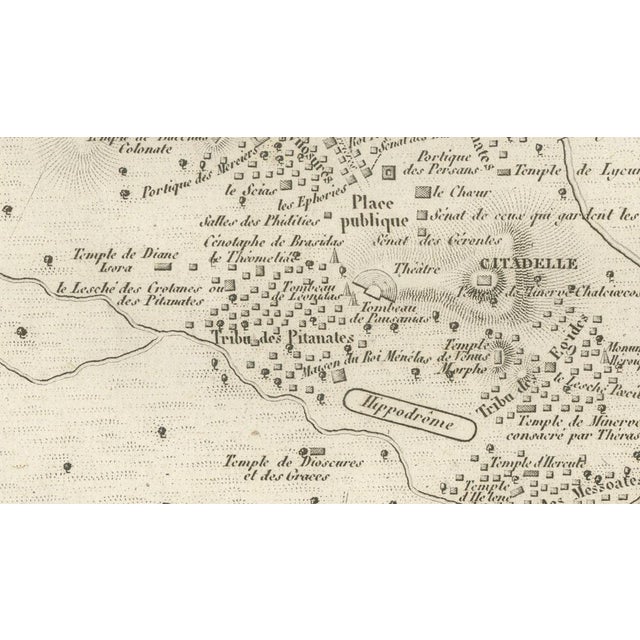
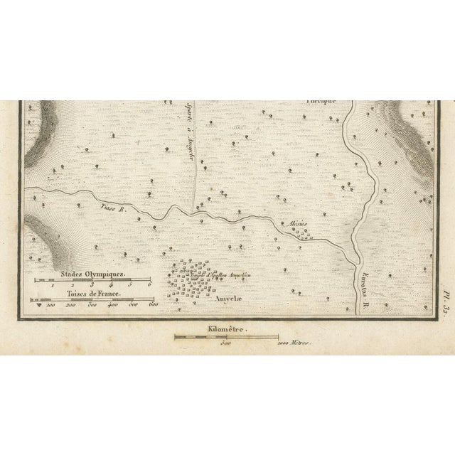
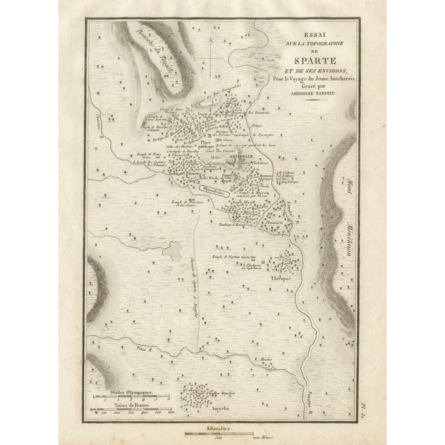
Title: Antique Map of Ancient Sparta and Its Surroundings, Tardieu, 1825 : Original antique engraved plan of ancient Sparta and … Read more Title: Antique Map of Ancient Sparta and Its Surroundings, Tardieu, 1825 : Original antique engraved plan of ancient Sparta and its surrounding landscape, engraved by Ambroise Tardieu for the atlas accompanying Jean-Jacques Barthélemy’s Voyage du jeune Anacharsis en Grèce. Titled “Essai sur la Topographie de Sparte et de ses Environs,” this fascinating map reconstructs the ancient city of Sparta, or Lacedaemon, based on s found in classical sources. The centre of the engraving provides a remarkably detailed plan of ancient Sparta, identifying numerous temples, public buildings, sacred sites and other landmarks. Among the features shown are the citadel, theatre, hippodrome, public square, temples and different quarters of the city. Unlike many ancient Greek cities, Sparta was famously dispersed rather than enclosed within substantial defensive walls. The map conveys this unusual urban character, showing groups of buildings spread across the landscape and surrounded by roads, rivers, fields and sacred sites. The wider topography includes the Eurotas River and its tributaries, Amyclae to the south, Therapne to the southeast and the surrounding mountainous landscape. Numerous sites connected with Spartan religion, mythology and civic life are individually identified. Sparta was one of the most powerful city-states of ancient Greece and became renowned for its distinctive military society and its rivalry with Athens. This detailed early 19th-century reconstruction offers an intriguing historical interpretation of the city at the height of its classical importance. Creator / Engraver: Ambroise Tardieu Title: Essai sur la Topographie de Sparte et de ses Environs Publication: Paris Date: 1825 Technique: Engraving on paper Plate: Pl. 32 Subject: Ancient Sparta, Laconia, Greece Condition: Good antique condition with general age toning, scattered foxing and occasional small stains and marks. Old mounting or tape residue is visible along the upper margin. Some discoloration is present along the sheet edges and margins. The engraved image remains strong, clear and highly detailed. Please study the photographs carefully as they form an important part of the condition . Original antique map. Not a modern reproduction. Sold unframed. Any framed or interior images shown are for presentation and inspiration only. Keywords: Sparta Map, Ancient Sparta, Spartan, Lacedaemon, Laconia, Ancient Greece, Sparta City Plan, Eurotas River, Amyclae, Therapne, Greek Archaeology, Spartan History, Classical Greece, Greek Military History, Peloponnese, Ambroise Tardieu, Antique Map, Historical Cartography, 1825 Map. See less
- Dimensions
- 7.48ʺW × 9.45ʺH
- Period
- Early 19th Century
- Country of Origin
- France
- Item Type
- Vintage, Antique or Pre-owned
- Materials
- Paper
- Condition
- Good Condition, Unknown, Some Imperfections
- Color
- Beige
- Condition Notes
- Very Good — This vintage item has no defects, but it may show slight traces of use\. Age toning, scattered … moreVery Good — This vintage item has no defects, but it may show slight traces of use\. Age toning, scattered foxing and occasional small stains and marks, Old mounting or tape residue is visible along the upper margin, Some discoloration is present along the sheet edges less
Returns & Cancellations
Return Policy - All sales are final 48 hours after delivery, unless otherwise specified in the description of the product.
Cancellation Policy - Prior to shipping or local pickup, buyers may cancel an order for up to 48 hours, unless otherwise specified.