

Details
Description
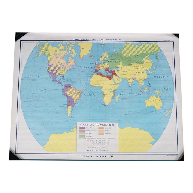
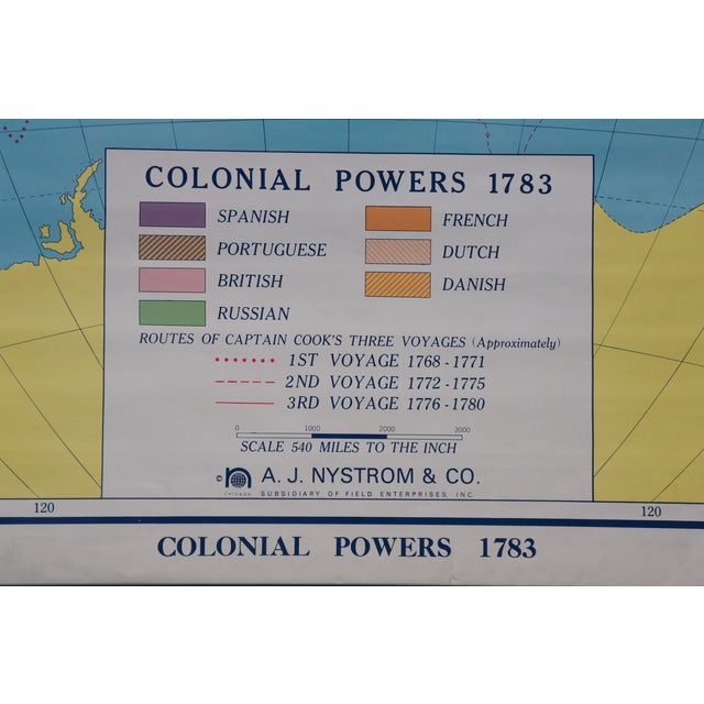
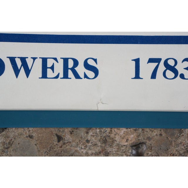
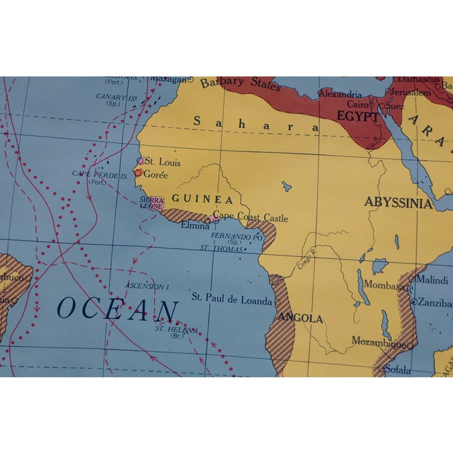
This rare antique classroom pull-down world history map, titled "Colonial Powers 1783," is part of the Knowlton-Wallbank World History Maps …
Read more
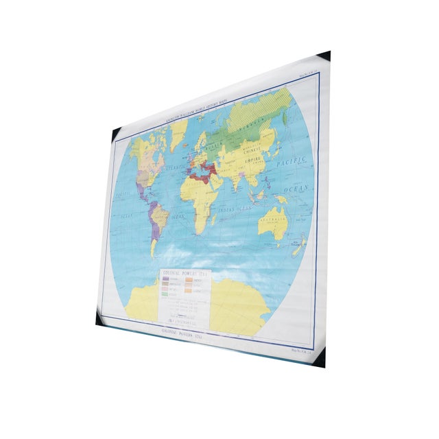
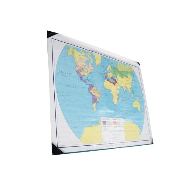
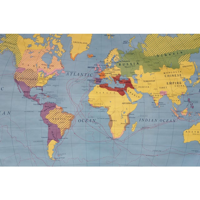
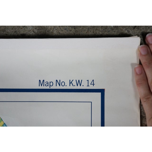
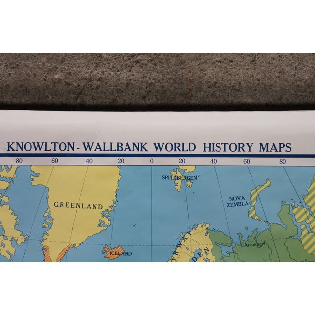
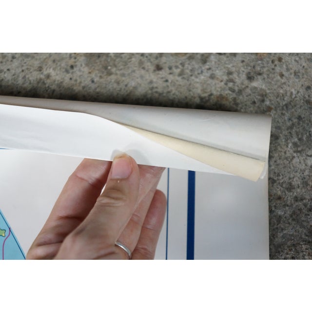
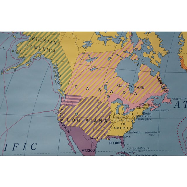
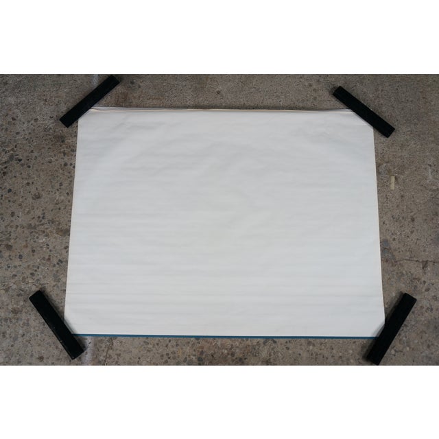
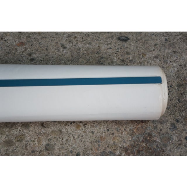
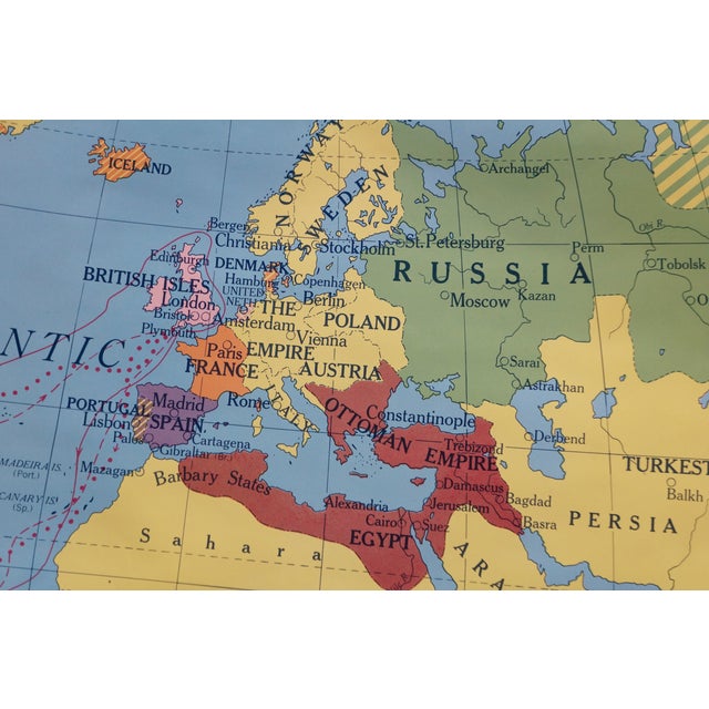
This rare antique classroom pull-down world history map, titled "Colonial Powers 1783," is part of the Knowlton-Wallbank World History Maps series published by the prominent A.J. Nystrom & Co. of Chicago. Identified as Map No. K.W. 14, this authentic piece of educational cartography illustrates the global geopolitical landscape and territory holdings of major empires at the close of the 18th century. The map utilizes a distinct pastel color-coding system with a clear lower legend identifying the colonial domains of Spain, Portugal, Great Britain, France, Russia, the French, the Dutch, and the Danish. Notable period-accurate labels include "Siberia," the "Chinese Empire," "Mongolia," and "Persia," alongside hatched patterns displaying shifting territorial control in the Americas. Complete with its original top mounting strip and bottom wooden roller, this large-format linen-backed or heavy-paper map is in excellent antique condition with minimal wear, offering fantastic graphic appeal for a home library, classroom archive, or retro office space.
Dimensions:
50" x 38" (L x W)
See less
- Dimensions
- 50ʺW × 0.12ʺD × 38ʺH
- Frame Type
- Unframed
- Brand
- A.J. Nystrom
- Period
- Mid 20th Century
- Country of Origin
- United States
- Item Type
- Vintage, Antique or Pre-owned
- Materials
- Paper
- Condition
- Good Condition, Original Condition Unaltered, Some Imperfections
- Color
- Blue
- Condition Notes
- Gentle wear; some creases Gentle wear; some creases less
Questions about the item?
Returns & Cancellations
Return Policy - All sales are final 48 hours after delivery, unless otherwise specified in the description of the product.
Cancellation Policy - Prior to shipping or local pickup, buyers may cancel an order for up to 48 hours, unless otherwise specified.