






Details
Description
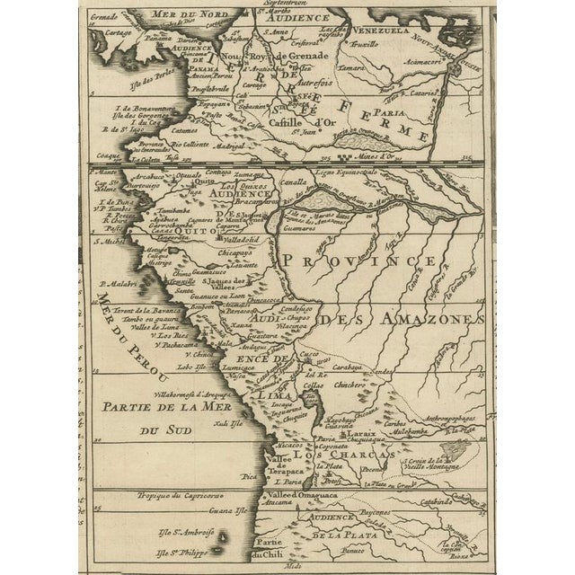
An original antique map titled "Carte Particulière du Pérou, Plan de la Ville de Lima, de Quelques Plantes, Animaux, & …
Read more
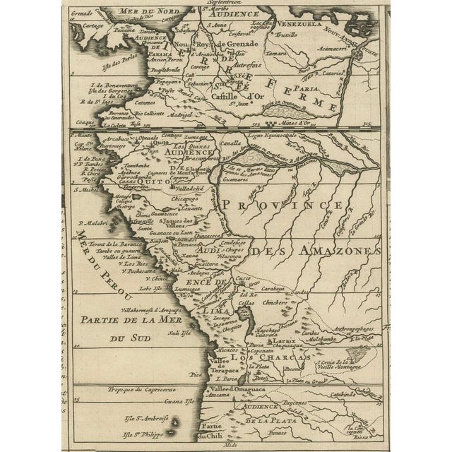
An original antique map titled "Carte Particulière du Pérou, Plan de la Ville de Lima, de Quelques Plantes, Animaux, & Machines du Pays", published by Henri Abraham Chatelain in Amsterdam around 1719 as part of the celebrated Atlas Historique. This highly decorative and informative engraving is among the finest early eighteenth-century depictions of colonial Peru. The sheet combines a regional map of Peru with an engraved plan of the city of Lima, then the capital of the Viceroyalty of Peru and one of the most important Spanish cities in the Americas. Surrounding the maps are detailed illustrations and extensive French text describing the geography, economy, natural history, and inhabitants of Peru. The engraved vignettes depict llamas and native plants, scenes of local industry, and the clothing and customs of Spanish men and women living in the colony. These visual and textual elements reflect the encyclopedic nature of Chatelain's Atlas Historique, which combined cartography with historical, geographical, ethnographic, and scientific knowledge. Henri Abraham Chatelain (1684–1743) was a French Huguenot cartographer and publisher working in Amsterdam. His Atlas Historique is regarded as one of the most ambitious and beautifully engraved geographical works of the eighteenth century, admired for combining detailed maps with extensive historical and cultural commentary. This is an excellent example of early Enlightenment cartography and an attractive decorative piece for collectors of South American maps, colonial history, and the Spanish Empire.
Maker: Henri Abraham Chatelain Publication: Atlas Historique, Amsterdam, circa 1719 Technique: Copperplate engraving on laid paper Condition: Good antique condition. General age-related toning and light wear consistent with age. small tear in the folding line. Please study the photographs carefully for the best impression of condition. Dimensions: Available on request. Authenticity: This is an original antique map published around 1719, not a modern reproduction. Framing: Any framed or interior images are for inspiration only. The map is sold unframed.
See less
- Dimensions
- 13.78ʺW × 20.87ʺH
- Country of Origin
- France
- Item Type
- Vintage, Antique or Pre-owned
- Materials
- Paper
- Condition
- Unknown, Some Imperfections
- Color
- Gold
Returns & Cancellations
Return Policy - All sales are final 48 hours after delivery, unless otherwise specified in the description of the product.
Cancellation Policy - Prior to shipping or local pickup, buyers may cancel an order for up to 48 hours, unless otherwise specified.