






Details
Description
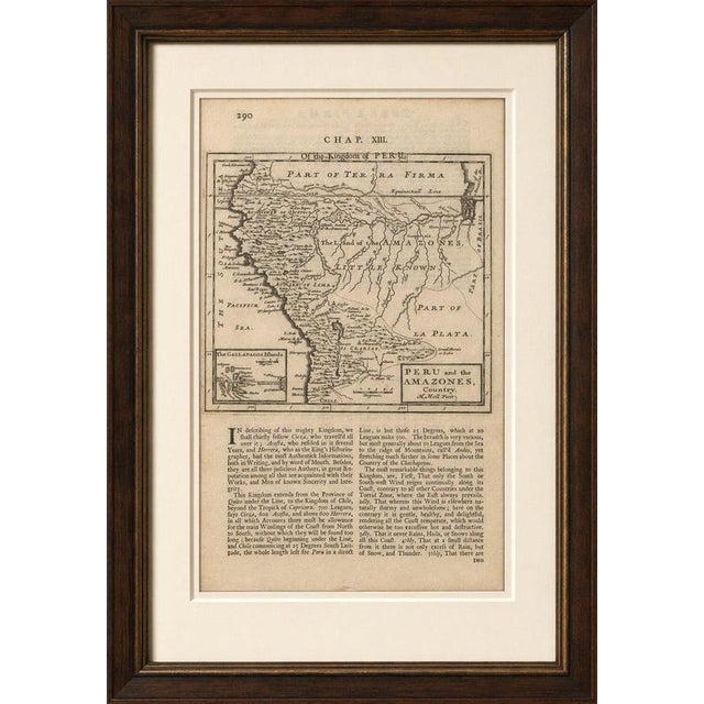
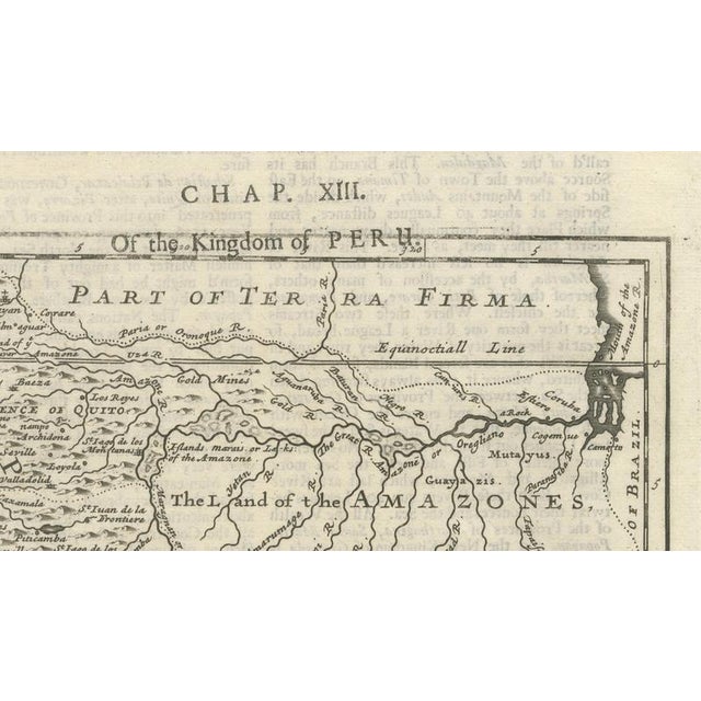
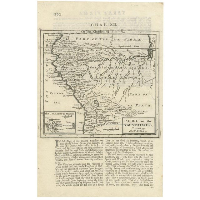
Antique Map of Peru and the Amazon by Herman Moll with Galapagos, c.1709 : A rare original antique copperplate engraved … Read more Antique Map of Peru and the Amazon by Herman Moll with Galapagos, c.1709 : A rare original antique copperplate engraved map of Peru and the Amazon region, engraved by the renowned British cartographer Herman Moll and published in London around 1709 in A System of Geography. The map depicts much of western South America, including present-day Peru, Ecuador (shown as Quito), Bolivia (Upper Peru), northern Chile, parts of Argentina, Brazil, and Colombia. It follows the geographical understanding of the early eighteenth century and prominently illustrates the Andes Mountains, the Amazon basin, major rivers, colonial settlements, and indigenous regions. An attractive feature of this map is the inset of "The Gallapagos Islands" (Galápagos Islands) in the lower left corner, one of the earliest English cartographic depictions of this famous Pacific archipelago. Below the map is a lengthy descriptive text discussing the geography, climate, and natural characteristics of Peru, making this both a decorative and historically informative engraving. Herman Moll (c.1654–1732) was among the leading mapmakers working in London during the late seventeenth and early eighteenth centuries. His maps are celebrated for their accuracy, elegant engraving, and importance during the great age of exploration and colonial expansion. This is an original antique engraving, printed from a copperplate over 320 years ago, and not a modern reproduction. We sell this print unframed. Maker: Herman Moll Publisher: London Date: circa 1701 Technique: Copperplate engraving on laid paper Origin: England Condition: Good, given its age. General age-related toning, light foxing and minor handling wear. Please study the images carefully. Keywords: Peru, Amazon, Amazones, Amazon River, Galapagos Islands, Gallapagos Islands, Ecuador, Quito, Bolivia, Upper Peru, Brazil, Chile, Argentina, Colombia, Andes Mountains, Pacific Ocean, South America, Colonial America, Spanish Empire, Exploration, Geography, Cartography, Herman Moll, A System of Geography, London, 1701, Copperplate engraving, Antique map, Original map, 18th-century map, Historical map, Decorative map, Rare map, Laid paper, Early atlas, Colonial cartography, Lima, Cuzco, Potosí. See less
- Dimensions
- 7.87ʺW × 12.2ʺH
- Country of Origin
- United Kingdom
- Item Type
- Vintage, Antique or Pre-owned
- Materials
- Paper
- Condition
- Unknown, Some Imperfections
- Color
- Lime
- Condition Notes
- Very Good — This vintage item has no defects, but it may show slight traces of use\. Good given its … moreVery Good — This vintage item has no defects, but it may show slight traces of use\. Good given its age, General age related toning, Light foxing and minor handling wear, Please study the images carefully less
Returns & Cancellations
Return Policy - All sales are final 48 hours after delivery, unless otherwise specified in the description of the product.
Cancellation Policy - Prior to shipping or local pickup, buyers may cancel an order for up to 48 hours, unless otherwise specified.