

Details
Description
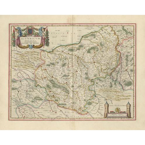
This original seventeenth-century map depicts the historic Duchy of Berry in central France. Titled “Bituricum Ducatus. Duché de Berri,” it …
Read more
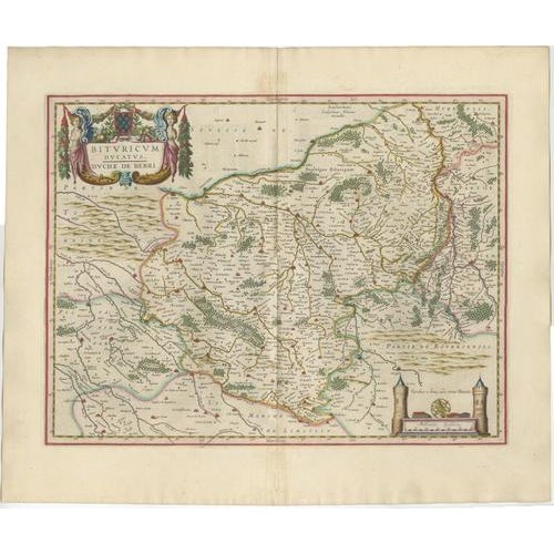
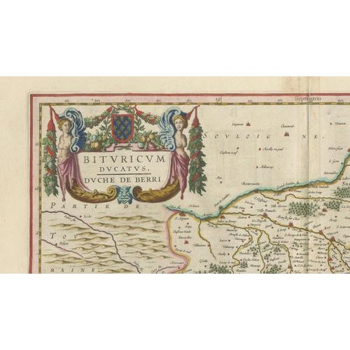
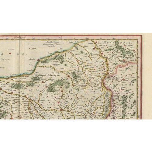
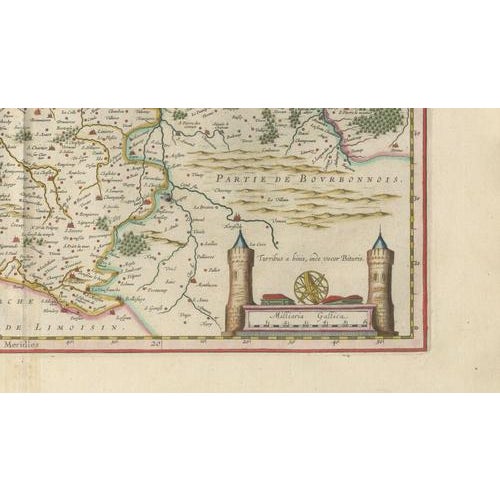
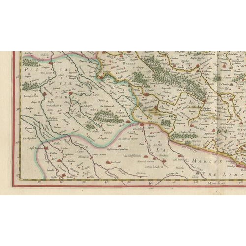
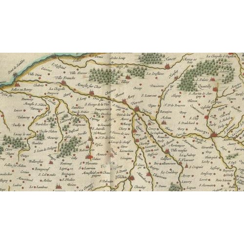
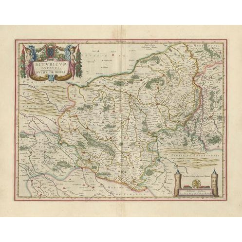
This original seventeenth-century map depicts the historic Duchy of Berry in central France. Titled “Bituricum Ducatus. Duché de Berri,” it presents the region around Bourges in remarkable detail, with numerous towns, villages, rivers, forests, roads and provincial boundaries. The map was engraved and published in Amsterdam by Willem Janszoon Blaeu and belongs to the celebrated Blaeu atlas tradition. The imprint near the upper centre reads “Amsterdami Guiljelmus Blaeu excudit.” The map was first issued during the 1630s and this example dates to circa 1642. An elaborate title cartouche in the upper-left corner is decorated with two female figures, foliage and the arms of Berry. In the lower-right corner, a second cartouche contains the scale and is flanked by two towers, with a surveying instrument placed between them. The map centres on Bourges and includes other notable places such as Sancerre, Issoudun, Châteauroux and Argenton-sur-Creuse. The neighbouring territories of Touraine, Poitou, Limousin, Bourbonnais, Nivernais and Sologne are identified around the edges. Berry is closely associated with the historical province surrounding Bourges, once an important medieval and Renaissance centre. The region is also known for its agricultural and culinary traditions. The eastern part of the map includes Sancerre, now internationally celebrated for its Sauvignon Blanc wines and its distinctive hilltop vineyards. Willem Janszoon Blaeu was one of the foremost cartographers, publishers and globe makers of the Dutch Golden Age. His maps are admired for their geographical detail, elegant engraving and richly decorative presentation. Following his death in 1638, the Blaeu publishing business continued under his sons. with its attractive hand colouring, imposing cartouche and strong associations with Bourges and Sancerre, this map would make a distinguished addition to a collection of French regional maps, wine-related cartography or Dutch Golden Age prints. It would also provide a striking focal point in a library, dining room, wine room or refined interior.
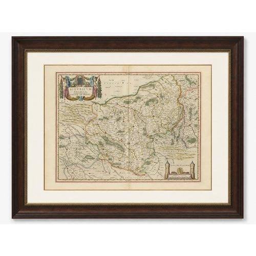
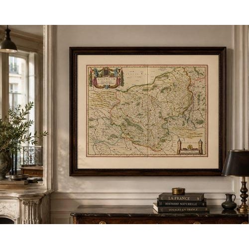
Title: Bituricum Ducatus. Duché de Berri Maker and publisher: Willem Janszoon Blaeu Place of publication: Amsterdam Date: Circa 1642 Technique: Hand-coloured copperplate engraving Subject: Berry, Bourges and Sancerre, France Condition: The map shows age-related toning, a central atlas fold and minor signs of handling consistent with its age. Light staining and irregularities are visible in the margins. Please examine the photographs carefully, as they form an important part of the condition . This is an original seventeenth-century copperplate engraving and not a modern reproduction. Any images showing the map framed are provided for visual inspiration only. The map is supplied unframed.
See less
- Dimensions
- 23.23ʺW × 19.69ʺH
- Period
- 17th Century
- Country of Origin
- Netherlands
- Item Type
- Vintage, Antique or Pre-owned
- Materials
- Paper
- Condition
- Good Condition, Unknown, Some Imperfections
- Color
- Beige
- Condition Notes
- Very Good — This vintage item has no defects, but it may show slight traces of use\. The map shows … moreVery Good — This vintage item has no defects, but it may show slight traces of use\. The map shows age-related toning, a central atlas fold and minor signs of handling consistent with its age. Light staining and irregularities are visible in the margins. Please examine the photographs carefully. less
Returns & Cancellations
Return Policy - All sales are final 48 hours after delivery, unless otherwise specified in the description of the product.
Cancellation Policy - Prior to shipping or local pickup, buyers may cancel an order for up to 48 hours, unless otherwise specified.