

Details
Description
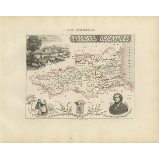
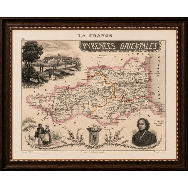
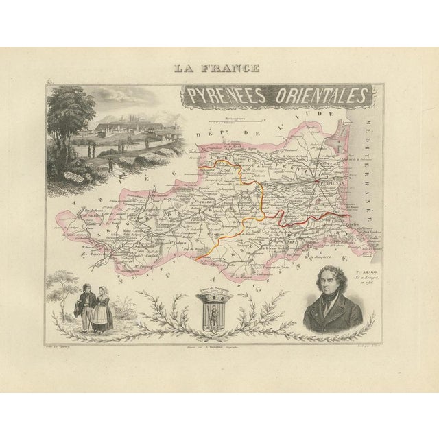
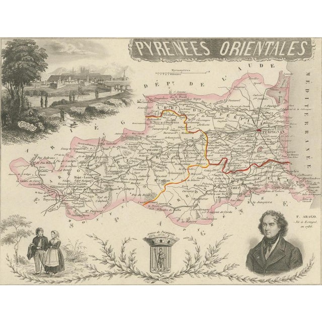
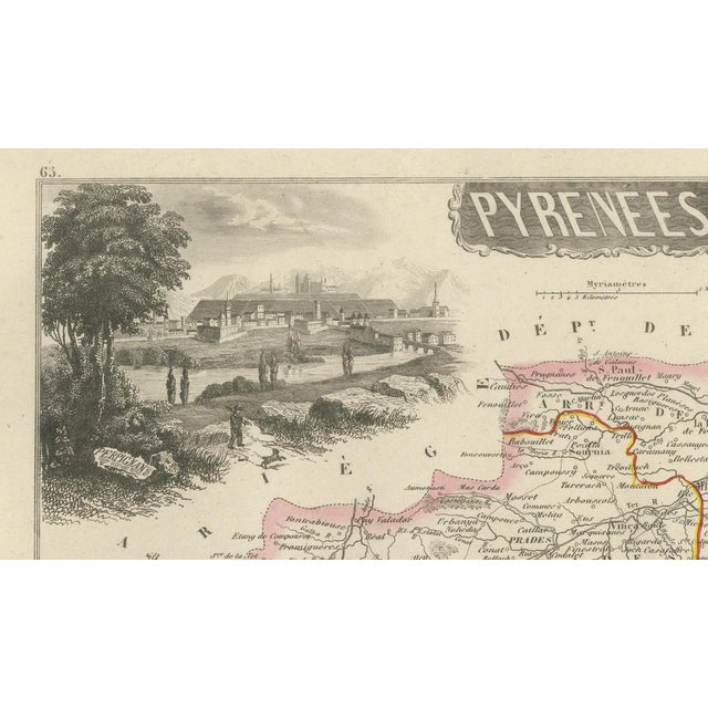
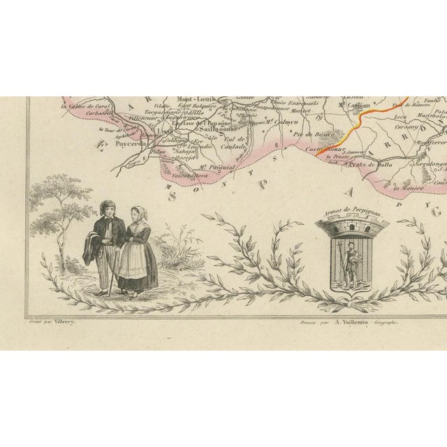
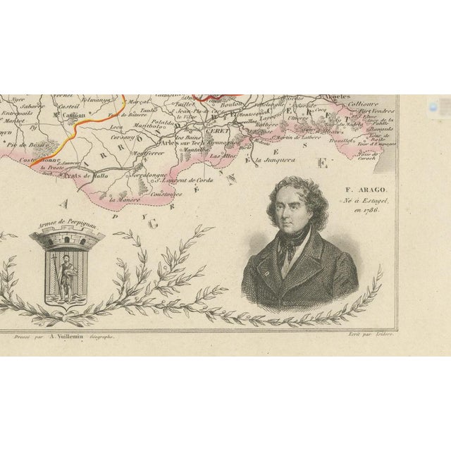
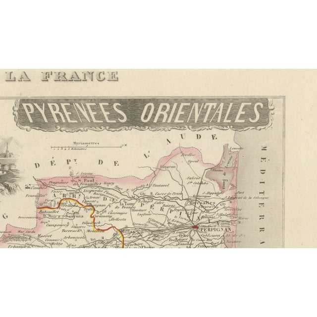
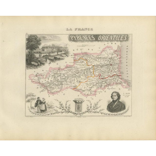
Title: Antique Map of Pyrénées-Orientales by Vuillemin, circa 1850 : Original antique decorative map of the French department of Pyrénées-Orientales, … Read more Title: Antique Map of Pyrénées-Orientales by Vuillemin, circa 1850 : Original antique decorative map of the French department of Pyrénées-Orientales, published in Paris around 1850 by the distinguished cartographer Alexandre Vuillemin. The map was issued as part of Vuillemin’s acclaimed atlas La France Illustrée, celebrated for combining detailed regional cartography with portraits, heraldry, local costumes and picturesque landscape views. Numbered 65, the map depicts the department’s towns, villages, roads, rivers and administrative divisions. Selected boundaries and principal routes are enhanced with attractive original hand colouring. Prominent places shown include Perpignan, Prades, Céret, Collioure, Port-Vendres, Banyuls-sur-Mer, Argelès-sur-Mer, Rivesaltes, Elne, Thuir, Ille-sur-Têt, Salses, Estagel, Millas, Vinça, Mont-Louis, Font-Romeu, Prats-de-Mollo and Arles-sur-Tech. The decorative composition includes a portrait of the celebrated scientist and statesman François Arago, identified on the map as having been born at Estagel in 1786. Further embellishments include the historic arms of Perpignan, a panoramic view of Perpignan and a pair of figures wearing traditional regional costume. Pyrénées-Orientales occupies a dramatic landscape between the Mediterranean Sea, the Pyrenees and the Spanish border. Historically associated with Roussillon and French Catalonia, the region is renowned for Perpignan, the Côte Vermeille, Collioure, the Canigou mountain and its distinctive Catalan cultural heritage. The department is also one of France’s important wine-producing areas. Notable regional appellations include Banyuls, Collioure, Rivesaltes, Muscat de Rivesaltes, Maury and Côtes du Roussillon. The steep vineyards around Banyuls and Collioure extend across the Mediterranean-facing Côte Vermeille between sea and mountain. An attractive historical map for collectors of French cartography, Catalan heritage, Mediterranean landscapes, Pyrenean history and nineteenth-century decorative engravings. This is an original antique engraving and not a modern reproduction. It is offered unframed. Any framed images are shown for presentation and interior inspiration only. Technique: Engraving with original hand colouring Maker: Alexandre Vuillemin Engraver: Villeroy Place of Publication: Paris, France Date: Circa 1850 Source: La France Illustrée Department: Pyrénées-Orientales, plate number 65 Region: Historic Roussillon and French Catalonia Condition: Good antique condition with general age-related toning, scattered foxing, small stains and minor handling marks. Light wear is visible around the margins and edges. The original hand-coloured boundaries remain attractive and clearly visible. Wear is consistent with age and use. Please examine the images carefully, as they form an important part of the condition . Keywords: Alexandre Vuillemin, antique Pyrénées-Orientales map, Pyrenees Orientales France map, antique Roussillon map, French Catalonia map, Pays Catalan map, Occitanie map, Perpignan antique map, Perpignan wall art, Palace of the Kings of Majorca, Le Castillet, Prades France map, Céret antique map, Collioure map, Collioure wall art, Château Royal de Collioure, Port-Vendres map, Banyuls-sur-Mer map, Argelès-sur-Mer map, Rivesaltes map, Elne map, Elne Cathedral, Thuir France, Ille-sur-Têt, Orgues d’Ille-sur-Têt, Salses-le-Château, Fort de Salses, Estagel map, Millas France, Vinça map, Mont-Louis map, Vauban fortress, Font-Romeu, Prats-de-Mollo, Fort Lagarde, Arles-sur-Tech, Amélie-les-Bains, Canigou mountain, Pic du Canigou, Côte Vermeille, Mediterranean coast, French Spanish border, Pyrenees mountains, Catalan Pyrenees, François Arago, French astronomer, Estagel birthplace, arms of Perpignan, traditional Catalan costume, view of Perpignan, La France Illustrée, decorative French map, French departmental map, nineteenth-century cartography, antique French engraving, original hand colouring, Banyuls wine, Banyuls Grand Cru, Collioure wine, Rivesaltes wine, Muscat de Rivesaltes, Maury wine, Côtes du Roussillon, Grenache Noir, Grenache Gris, Grenache Blanc, Carignan, Muscat grapes, Roussillon vineyards, Catalan wine region, Tomme des Pyrénées, Catalan cheese, anchovies of Collioure, Anchois de Collioure, jambon de Cerdagne, boles de picolat, cargolade, crème catalane, rousquilles, Catalan gastronomy, Mediterranean interior, coastal wall art, vineyard decor, French country decor, Francophile gift, library wall art, office decor, collector’s map, original antique map See less
- Dimensions
- 12.6ʺW × 10.24ʺH
- Country of Origin
- France
- Item Type
- Vintage, Antique or Pre-owned
- Materials
- Paper
- Condition
- Unknown, Some Imperfections
- Color
- Black
- Condition Notes
- Very Good — This vintage item has no defects, but it may show slight traces of use\. Good antique condition … moreVery Good — This vintage item has no defects, but it may show slight traces of use\. Good antique condition with general age-related toning, scattered foxing, light staining and handling creases. Minor marks and wear are visible around the margins and edges. The original hand-coloured boundaries remain attractive and clearly visible. less
Returns & Cancellations
Return Policy - All sales are final 48 hours after delivery, unless otherwise specified in the description of the product.
Cancellation Policy - Prior to shipping or local pickup, buyers may cancel an order for up to 48 hours, unless otherwise specified.