

Details
Description
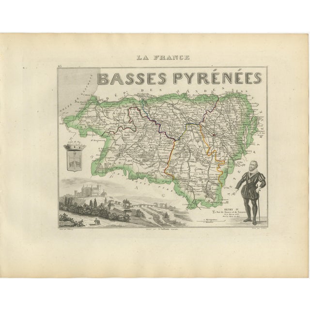
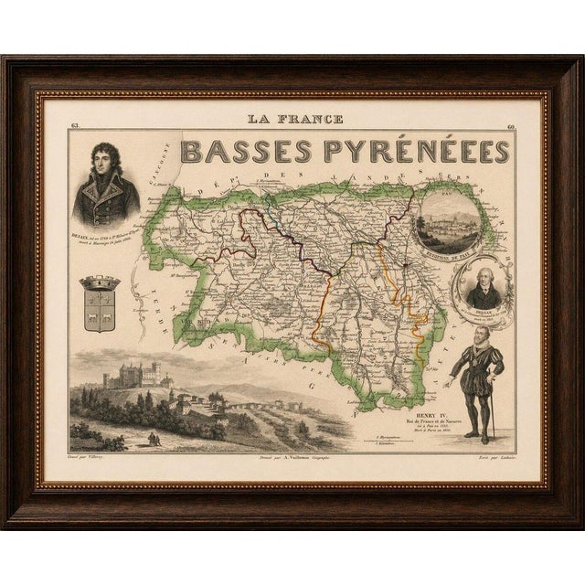
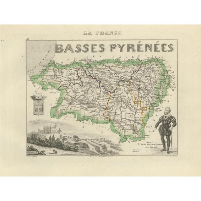
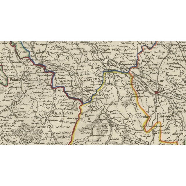
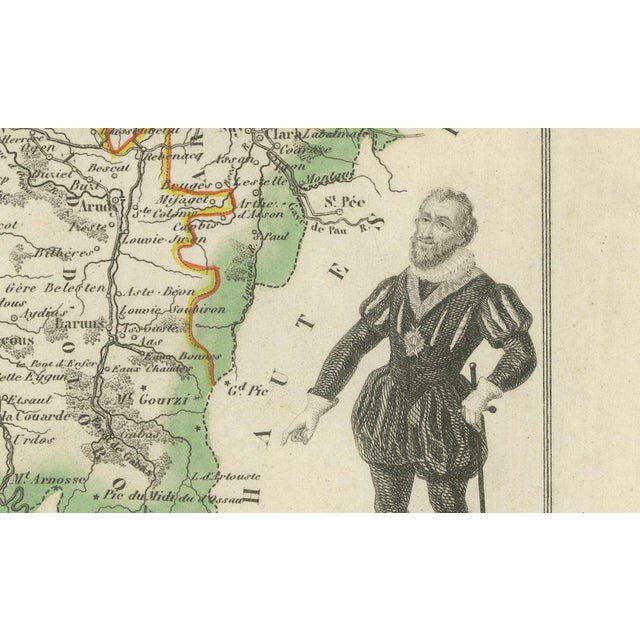
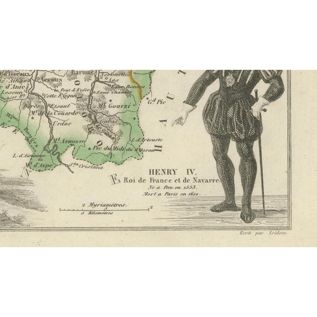
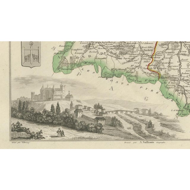
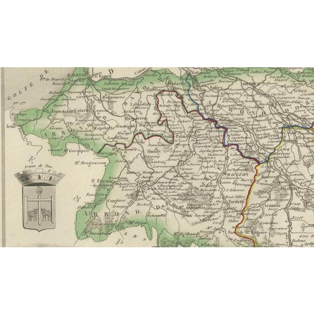
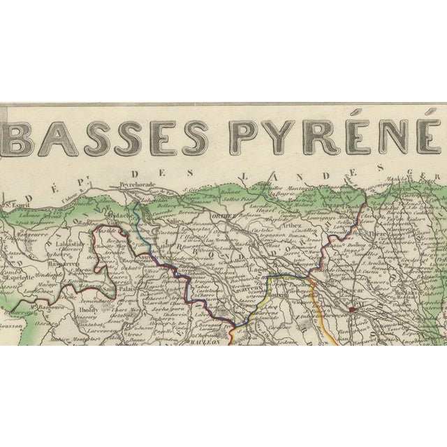
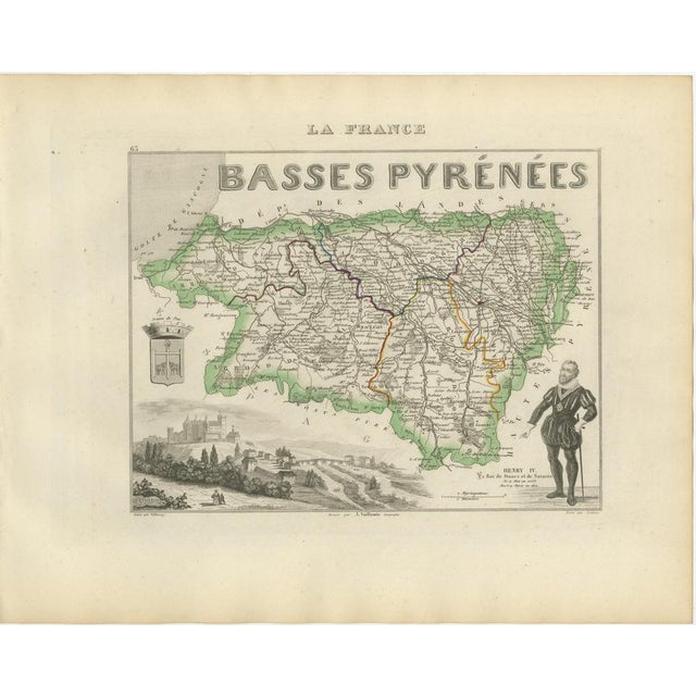
Original antique decorative map of the former French department of Basses-Pyrénées, published in Paris around 1850 by the distinguished cartographer … Read more Original antique decorative map of the former French department of Basses-Pyrénées, published in Paris around 1850 by the distinguished cartographer Alexandre Vuillemin. The map was issued as part of Vuillemin’s acclaimed atlas La France Illustrée, celebrated for combining detailed regional cartography with historical figures, heraldry and picturesque engraved views. Numbered 63, the map records the department’s towns, villages, roads, rivers and administrative divisions. Original hand colouring distinguishes the departmental boundaries and principal routes. Prominent places shown include Pau, Bayonne, Biarritz, Saint-Jean-de-Luz, Hendaye, Oloron-Sainte-Marie, Orthez, Salies-de-Béarn, Saint-Palais, Mauléon, Saint-Jean-Pied-de-Port, Hasparren, Cambo-les-Bains, Espelette, Ustaritz, Bidache, Navarrenx, Sauveterre-de-Béarn and numerous smaller communities. The decorative composition includes the historic arms of Pau, a large landscape view associated with Pau and a full-length portrait of Henri IV, King of France and Navarre, who was born at the Château de Pau in 1553. Basses-Pyrénées historically encompassed the culturally distinct regions of Béarn and the French Basque Country. The department was subsequently renamed Pyrénées-Atlantiques in 1969 and today forms part of Nouvelle-Aquitaine. The area is renowned for its Atlantic resorts, Pyrenean landscapes, Basque villages and historic pilgrimage routes. Particularly desirable locations include Biarritz, Bayonne, Saint-Jean-de-Luz, Hendaye, Pau and Saint-Jean-Pied-de-Port. Important regional products include Jurançon wine, produced from local grape varieties such as Petit Manseng and Gros Manseng, and Ossau-Iraty, a traditional sheep’s-milk cheese made in the Basque Country and Béarn. An attractive historical map for collectors of French cartography, Basque heritage, Béarn history, Pyrenean landscapes and nineteenth-century decorative engravings. This is an original antique engraving and not a modern reproduction. It is offered unframed. Any framed images are shown for presentation and interior inspiration only. Technique: Engraving with original hand colouring Maker: Alexandre Vuillemin Place of Publication: Paris, France Date: Circa 1850 Source: La France Illustrée Department: Basses-Pyrénées, plate number 63 Present Name: Pyrénées-Atlantiques Region: Béarn and French Basque Country Condition: Good antique condition with general age-related toning, scattered foxing, light staining and handling creases. Minor marks and wear are visible around the margins and edges. The original hand-coloured boundaries remain attractive and clearly visible. Wear is consistent with age and use. Please examine the images carefully, as they form an important part of the condition . See less
- Dimensions
- 12.6ʺW × 10.24ʺH
- Country of Origin
- France
- Item Type
- Vintage, Antique or Pre-owned
- Materials
- Paper
- Condition
- Unknown, Some Imperfections
- Color
- Brown
- Condition Notes
- Very Good — This vintage item has no defects, but it may show slight traces of use\. Good antique condition … moreVery Good — This vintage item has no defects, but it may show slight traces of use\. Good antique condition with general age-related toning, scattered foxing, light staining and handling creases. Minor marks and wear are visible around the margins and edges. The original hand-coloured boundaries remain attractive and clearly visible. less
Returns & Cancellations
Return Policy - All sales are final 48 hours after delivery, unless otherwise specified in the description of the product.
Cancellation Policy - Prior to shipping or local pickup, buyers may cancel an order for up to 48 hours, unless otherwise specified.