


Details
Description
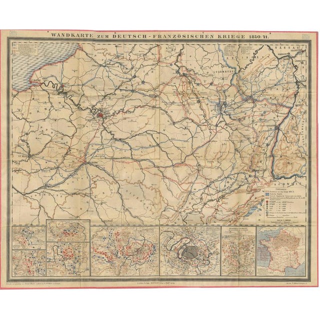
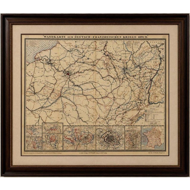
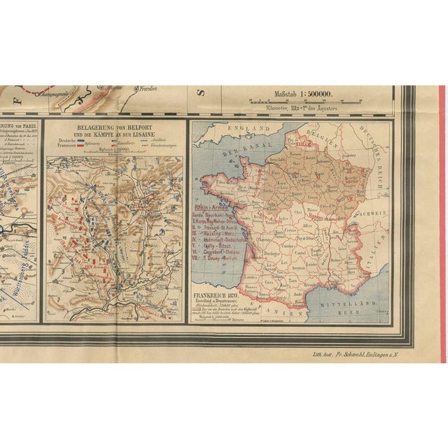
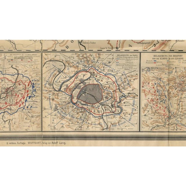
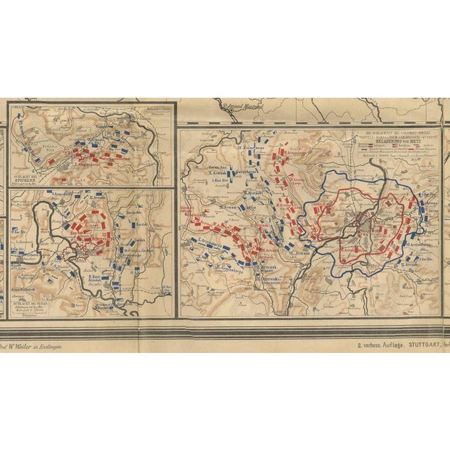
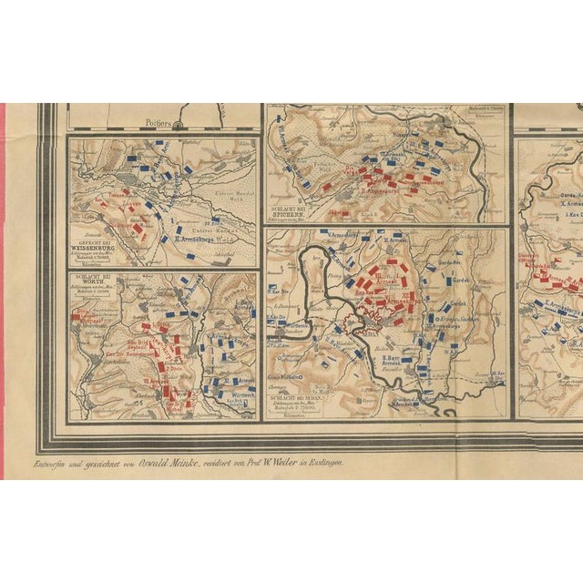
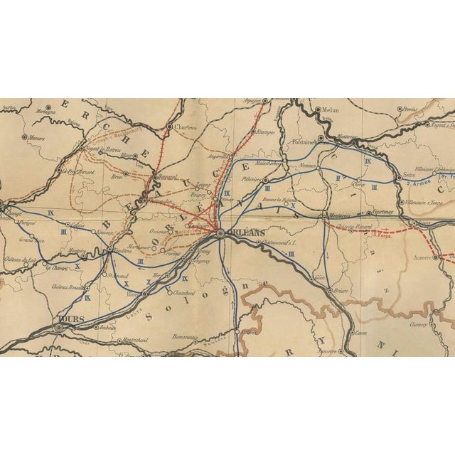
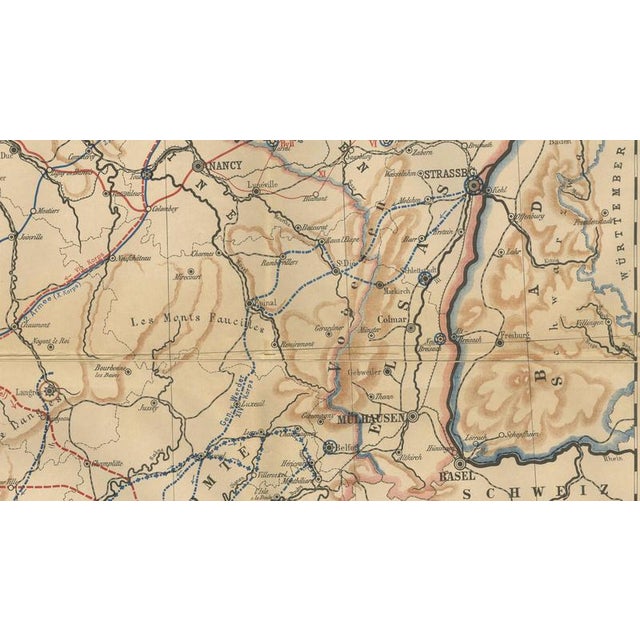
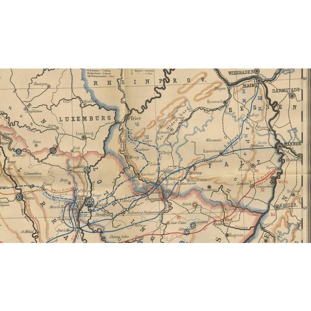
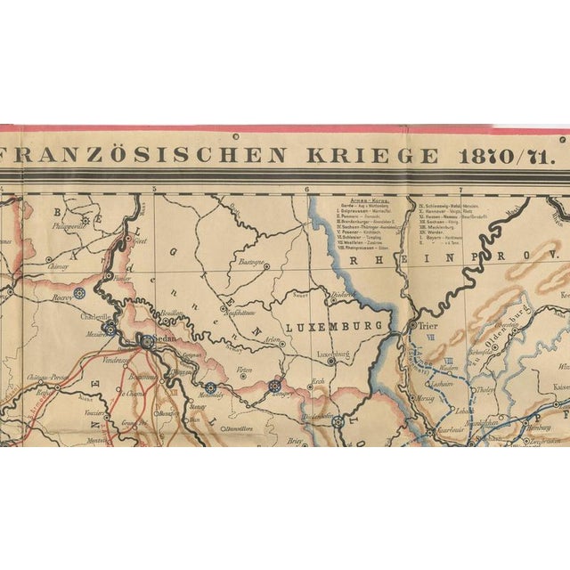
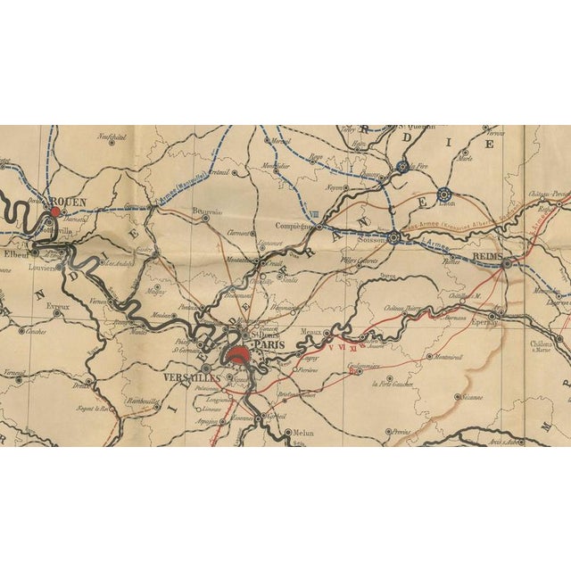
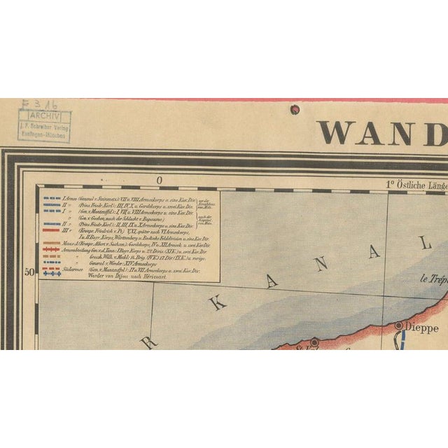
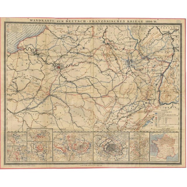
Franco-Prussian War Campaign Map of France and Germany, Original 1871 : An original large-format German wall map illustrating the Franco-Prussian … Read more Franco-Prussian War Campaign Map of France and Germany, Original 1871 : An original large-format German wall map illustrating the Franco-Prussian War of 1870–1871, published as the second revised edition under the title Wandkarte zum deutsch-französischen Kriege 1870/71. The map was designed by Oswald Meinke and revised by Professor W. Weiler of Esslingen, reflecting the latest military information available shortly after the conclusion of the conflict. The map provides a comprehensive overview of the war that reshaped nineteenth-century Europe and led directly to the unification of Germany. Covering France, Germany, Luxembourg, Belgium, and adjoining regions, it documents the major campaigns, troop movements, railway networks, fortifications, and strategic communication routes that played a decisive role during the conflict. Prominent cities including Paris, Strasbourg, Metz, Nancy, Reims, Rouen, Versailles, and Basel are clearly identified. Colored military routes and symbols trace the movements of French and German forces throughout the campaign. The detailed topography and extensive transportation network illustrate the increasing importance of railways and logistics in modern warfare. A particularly attractive feature is the series of inset battle maps arranged along the lower border. These provide detailed plans of important engagements and siege operations, including the fighting around Metz and the Siege of Paris. An additional inset map of France offers broader geographic context for the campaigns. Published in Stuttgart shortly after Germany's victory, the map reflects the intense public interest in the war and its consequences. The conflict resulted in the collapse of the Second French Empire, the establishment of the French Third Republic, and the proclamation of the German Empire in the Hall of Mirrors at Versailles in January 1871. Maps such as this were widely used in schools, public institutions, and private collections to explain the military events that transformed Europe. Today, this map appeals to collectors of military history, German unification, French history, nineteenth-century cartography, and decorative historical maps. Its combination of historical importance, visual complexity, and original period coloring makes it an impressive display piece. This is an original nineteenth-century map, not a later reproduction. Sold unframed. Condition Report: Good condition consistent with age. Original fold lines as issued. Light age toning, scattered foxing, and handling wear. Minor wear and occasional small separations at fold intersections may be present. Original coloring remains attractive. Please examine photographs carefully. Framing Tips: This map displays exceptionally well in a dark walnut or ebonized frame with UV-protective museum glass. Given the large format and extensive detail, mounting on a neutral linen backing is recommended. Suitable for libraries, studies, offices, military collections, and interiors focused on European history. Please note that any framed or room-view images are provided for visualization purposes only. The map is sold unframed, and framed examples may not be shown to exact scale. Technique: Lithographed Wall Map with Original Color Maker: Oswald Meinke (designer), revised by Prof. W. Weiler, lithographed by Fr. Schwahl, Stuttgart, Germany, 1871. See less
- Dimensions
- 56.69ʺW × 0.39ʺD × 45.28ʺH
- Period
- Late 19th Century
- Country of Origin
- Germany
- Item Type
- Vintage, Antique or Pre-owned
- Materials
- Paper
- Condition
- Good Condition, Unknown, Some Imperfections
- Color
- Beige
- Condition Notes
- Very Good — This vintage item has no defects, but it may show slight traces of use\. Light age toning, … moreVery Good — This vintage item has no defects, but it may show slight traces of use\. Light age toning, scattered foxing, and handling wear, Minor wear and occasional small separations at fold intersections may be present less
Returns & Cancellations
Return Policy - All sales are final 48 hours after delivery, unless otherwise specified in the description of the product.
Cancellation Policy - Prior to shipping or local pickup, buyers may cancel an order for up to 48 hours, unless otherwise specified.