

Details
Description
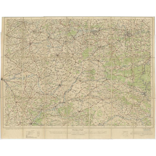
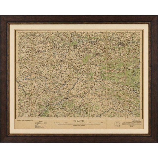
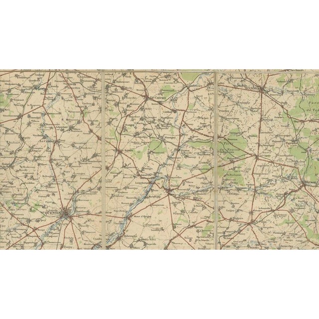
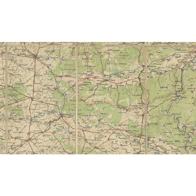
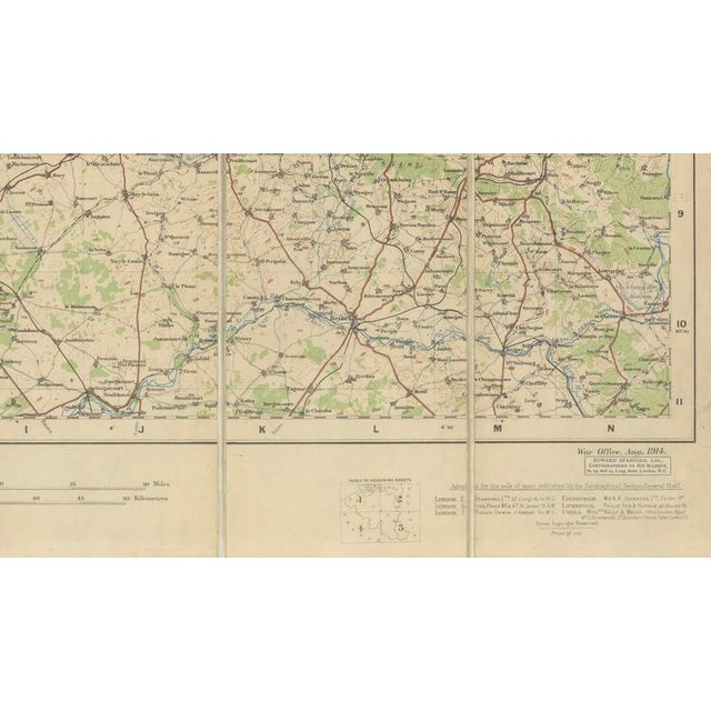
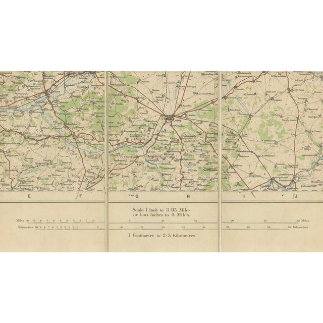
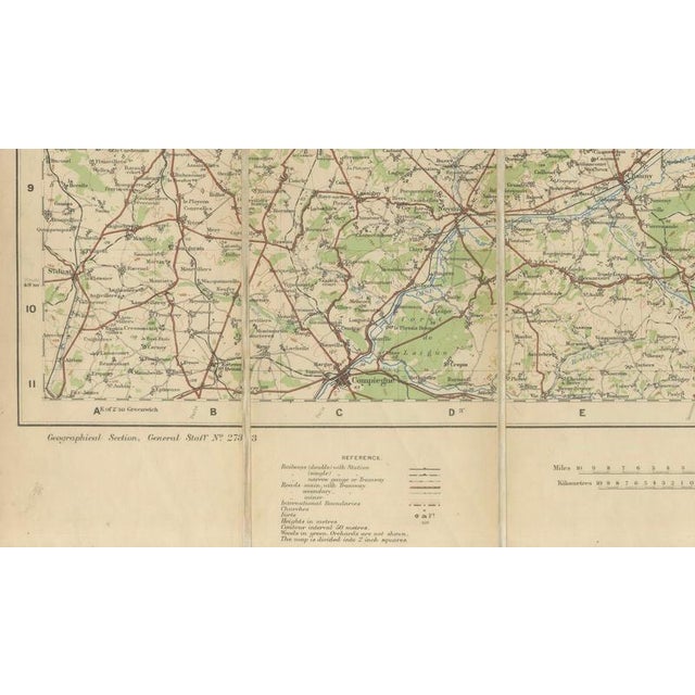
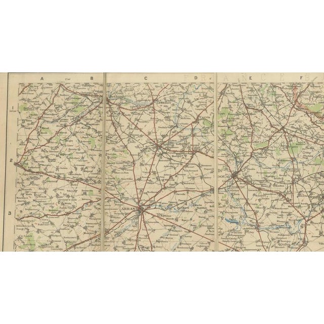
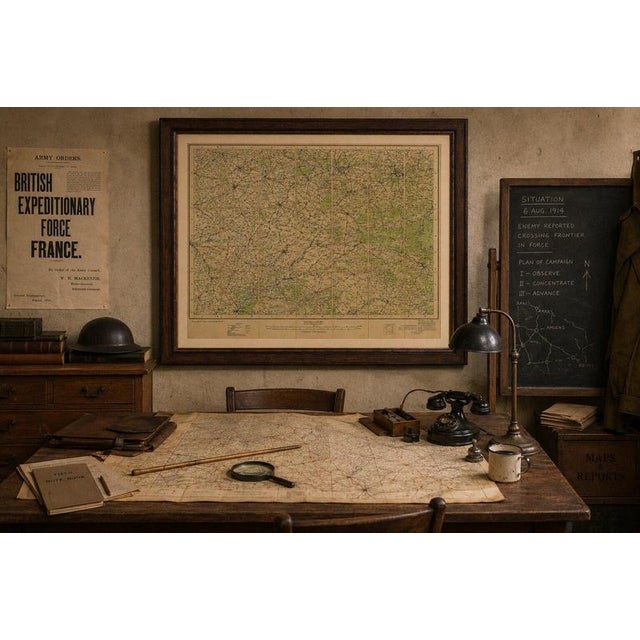
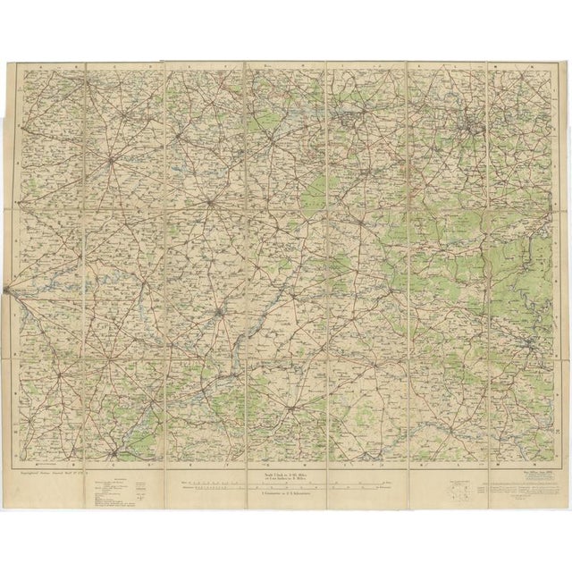
1914 wwi british war office map of arras, amiens and reims, edward stanford : issued in london during the opening … Read more 1914 wwi british war office map of arras, amiens and reims, edward stanford : issued in london during the opening weeks of the first world war, this impressive large-scale military map of northern france was published by edward stanford for the british war office in august 1914, precisely as the british expeditionary force prepared to enter the continent. Covering the strategically vital region between arras, amiens, reims, laon, and the valleys leading toward the belgian frontier, the sheet documents one of the most consequential theatres of twentieth-century history. Printed at a scale of one inch to 3.95 miles (approximately 1:250,000), the map was designed for practical military use. Railways are prominently emphasized in red, reflecting their critical importance for troop movements and logistics, while roads, rivers, canals, forests, elevations, and settlements are carefully differentiated. The dense transportation network radiating from cities such as arras and amiens illustrates why these locations became focal points during the battle of the frontiers and the subsequent race to the sea in 1914. The map was produced under the authority of the british general staff and distributed through the renowned london cartographic publisher edward stanford, whose firm supplied explorers, governments, and military institutions throughout the nineteenth and early twentieth centuries. Unlike decorative atlas maps intended for domestic display, this example belongs to a tradition of functional cartography created to support real-world decision making at a pivotal historical moment. Its large format and original sectional construction suggest that it was intended either for folding field use or for mounting on linen, enabling officers to consult it rapidly during operations. The small index map in the lower margin identifies its position within a broader national series covering france, reflecting the systematic approach adopted by military cartographers before the outbreak of war. Today, such maps are prized not only by collectors of first world war material but also by enthusiasts of railway history, military strategy, and french regional history. The sheet captures the landscape exactly as it existed on the eve of enormous transformation, preserving towns, transport routes, and boundaries before the devastation that reshaped much of northern france during the conflict. As both a historical document and an impressive decorative object, it offers a compelling connection to the dramatic events of august 1914. Condition report: good antique condition consistent with age and use. Light overall toning and minor handling wear. Original fold or sectional lines visible as issued. Small marginal imperfections and slight discoloration in places, none affecting the readability of the map. The printed surface remains clear and highly detailed. Framing and matting suggestions: this large military map displays exceptionally well in a dark walnut, ebonized oak, or traditional british campaign-style frame. An ivory or warm stone-colored museum mat will complement the aged paper tones while preserving the visual prominence of the intricate railway network. Uv-protective museum glass is strongly recommended. Given its historical character, the piece also suits a linen-backed conservation mounting that preserves evidence of its original field use. It works particularly well in studies, libraries, country houses, military collections, and interiors inspired by british or french heritage. Technique: color-printed lithographic military map on paper. Maker: edward stanford for the british war office, london, england, august 1914. Keywords: world war i, first world war, great war, western front, battle of the frontiers, first battle of the marne, race to the sea, first battle of ypres, siege of maubeuge, battle of mons, retreat from mons, battle of le cateau, german invasion of france, british expeditionary force, bef, edward stanford, british war office, general staff maps, military cartography, railway map, trench warfare, french campaign 1914, august 1914. Places shown on the map: arras, amiens, reims, laon, soissons, compiègne, saint-quentin, beauvais, senlis, château-thierry, soizy-aux-bois, crépy-en-valois, la fère, ham, péronne, roye, montdidier, noyon, soissons, rethel, vouziers, châlons-sur-marne (châlons-en-champagne), épernay, château-thierry, verdun approaches, the aisne valley, the marne valley, the oise river, the somme river, the meuse river. Important battlefields and military associations within or adjacent to the mapped region: battle of the marne (1914), first battle of the aisne (1914), battle of the somme (1916), battle of amiens (1918), second battle of the marne (1918), battle of arras (1917), nivelle offensive (1917), chemin des dames, battle of saint-quentin (1918), hundred days offensive, german spring offensive (1918), battle of montdidier-noyon, battle of the oise-aisne, meuse-argonne campaign, hindenburg line, western front rail networks. Collector and subject keywords: antique military map, wwi cartography, british army history, french regional history, edward stanford london, war office publication, railway history, historical geography, military intelligence maps, battlefield mapping, officer's field map, linen-backed map, campaign map, trench warfare collectibles, museum quality cartography, decorative wall map, library decor, study room art, military memorabilia, historical interior design. Keywords: world war i, wwi, great war, western front, arras, amiens, reims, aisne, marne, somme, chemin des dames, saint-quentin, battle of the marne, battle of arras, battle of the somme, amiens offensive, edward stanford, british war office, military cartography, railway map, french campaign 1914, british expeditionary force, antique military map, historical france, battlefield history, trench warfare, general staff map. See less
- Dimensions
- 30.31ʺW × 23.62ʺH
- Period
- 1910s
- Country of Origin
- United Kingdom
- Item Type
- Vintage, Antique or Pre-owned
- Materials
- Paper
- Condition
- Good Condition, Unknown, Some Imperfections
- Color
- Gold
- Condition Notes
- Very Good — This vintage item has no defects, but it may show slight traces of use\. Light overall toning … moreVery Good — This vintage item has no defects, but it may show slight traces of use\. Light overall toning and minor handling wear, Original fold or sectional lines visible as issued, Small marginal imperfections and slight discoloration less
Returns & Cancellations
Return Policy - All sales are final 48 hours after delivery, unless otherwise specified in the description of the product.
Cancellation Policy - Prior to shipping or local pickup, buyers may cancel an order for up to 48 hours, unless otherwise specified.