

Details
Description
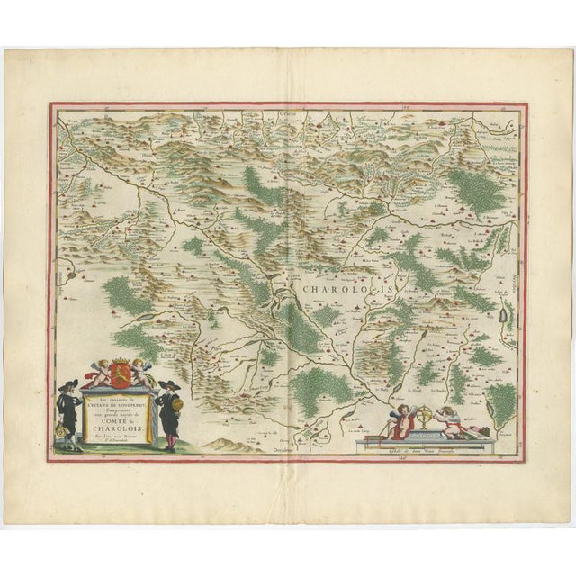
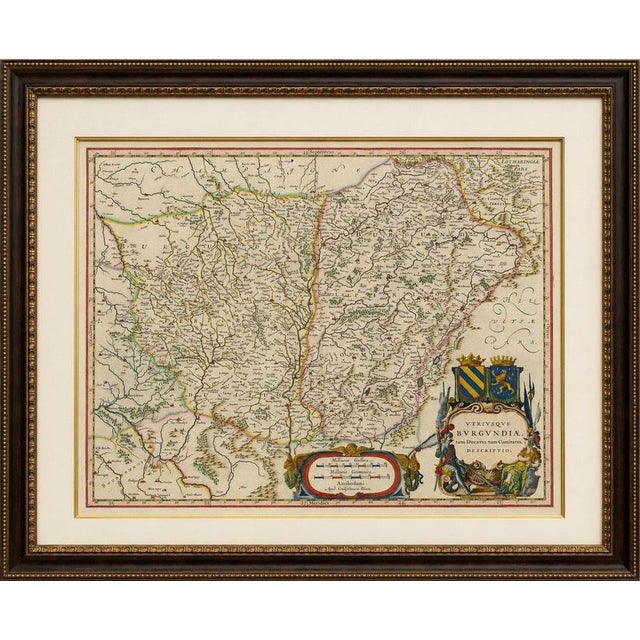
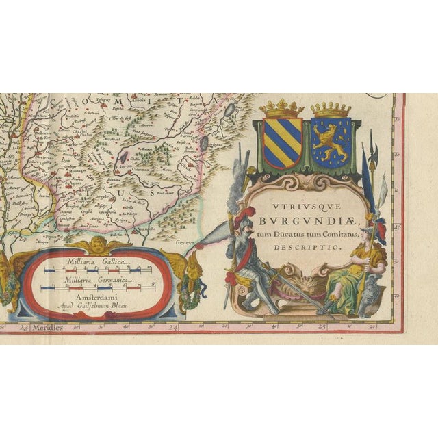
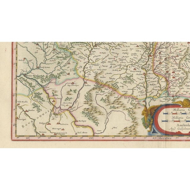
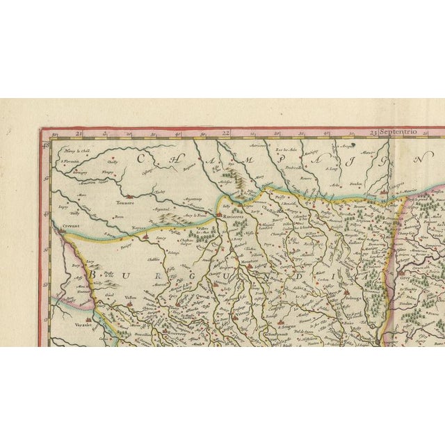
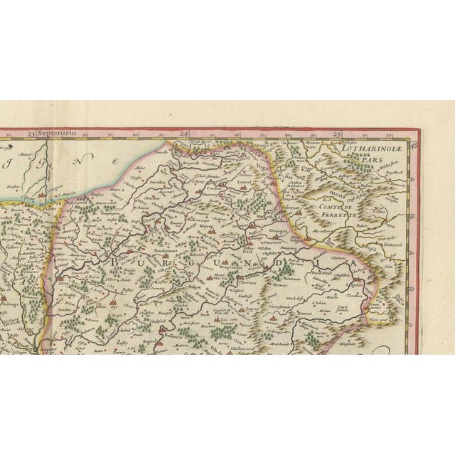
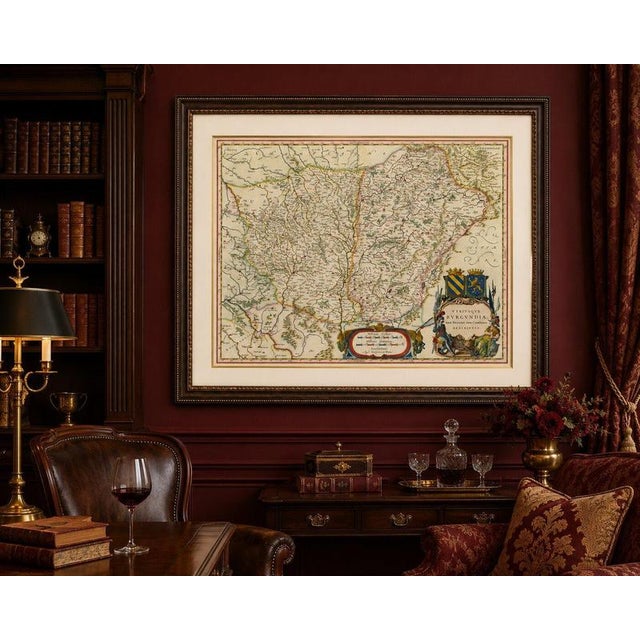
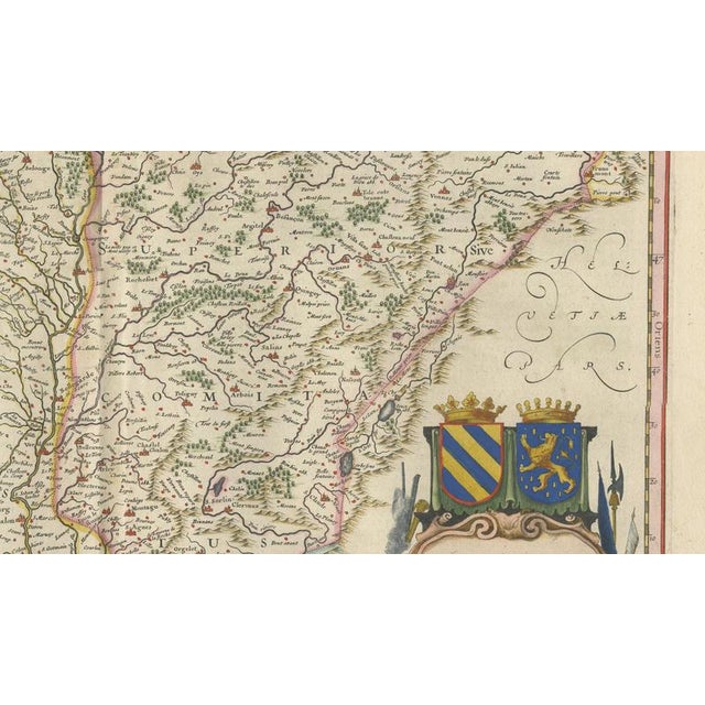
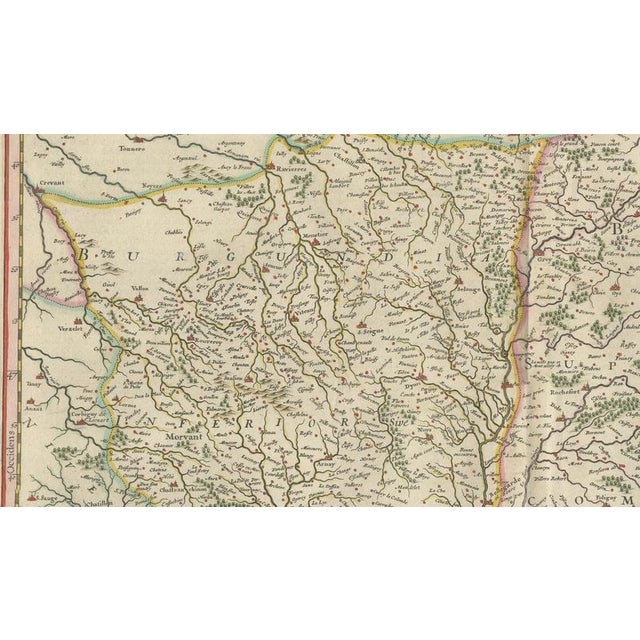
Charolais, Burgundy Antique Blaeu Atlas Map of France, 1642 This original hand-colored map depicts a large part of the historic … Read more Charolais, Burgundy Antique Blaeu Atlas Map of France, 1642 This original hand-colored map depicts a large part of the historic Comté de Charolois (County of Charolais) in the Burgundy region of eastern France. Published by Willem Janszoon Blaeu in Amsterdam in the 1642 edition of his celebrated atlas Toonneel des Aerdrycx, the map provides a detailed view of the countryside surrounding the Étang de Longpendu, from which it takes its title. The map is densely engraved with villages, roads, rivers, forests, hills, and local landmarks, offering a remarkable record of the landscape and settlement pattern of seventeenth-century Burgundy. Numerous place names are identified throughout the sheet, reflecting the administrative and geographic complexity of the region. The careful rendering of woodland, relief, and waterways creates a vivid impression of the rural character of Charolais during the early modern period. Particularly attractive are the decorative elements in the lower corners. An ornate title cartouche is flanked by standing figures, while an allegorical scale cartouche featuring putti and scientific instruments provides visual balance and demonstrates the artistic sophistication for which Blaeu's maps are renowned. The original hand coloring further enhances the map's decorative appeal while helping distinguish regional boundaries and geographic features. Published during the Dutch Golden Age of cartography, this map combines scientific accuracy, artistic engraving, and historical significance. It is an appealing example of Blaeu's work and an excellent addition to collections focused on Burgundy, French regional history, or seventeenth-century Dutch atlas maps. Keywords: Charolais, Comté de Charolois, Burgundy, Bourgogne, Longpendu, eastern France, Burgundy countryside, French provinces, Willem Janszoon Blaeu, Amsterdam, 1642, Dutch Golden Age cartography, antique map, hand-colored map, French regional map, seventeenth-century France, rural Burgundy, historical geography. Special note: This is an original 17th-century map, not a reproduction. All items we offer are authentic period works of art over 100 years old. The map is sold unframed; any framed images are shown for presentation and interior inspiration only and may not always be on scale with the original. Condition Report Original centerfold as issued. Original hand color. Light age toning with minor wear consistent with age. A few small marginal creases and occasional faint spotting. Overall a well-preserved impression with attractive color. Framing Tips This map displays beautifully in a dark walnut, ebonized, or lightly gilded frame with an ivory museum mat. The green woodland areas and decorative cartouches make it especially suitable for traditional French, country house, library, or study interiors. Technique: Copperplate engraving with original hand color Maker: Willem Janszoon Blaeu, Amsterdam, 1642 See less
- Dimensions
- 23.23ʺW × 19.69ʺH
- Period
- 17th Century
- Country of Origin
- Netherlands
- Item Type
- Vintage, Antique or Pre-owned
- Materials
- Paper
- Condition
- Good Condition, Unknown, Some Imperfections
- Color
- Gold
- Condition Notes
- Very Good — This vintage item has no defects, but it may show slight traces of use\. Original centerfold as … moreVery Good — This vintage item has no defects, but it may show slight traces of use\. Original centerfold as issued, Light age toning, A few small marginal creases and occasional faint spotting less
Returns & Cancellations
Return Policy - All sales are final 48 hours after delivery, unless otherwise specified in the description of the product.
Cancellation Policy - Prior to shipping or local pickup, buyers may cancel an order for up to 48 hours, unless otherwise specified.