




Details
Description
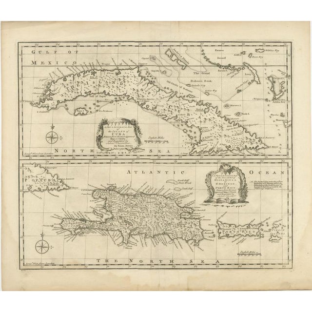
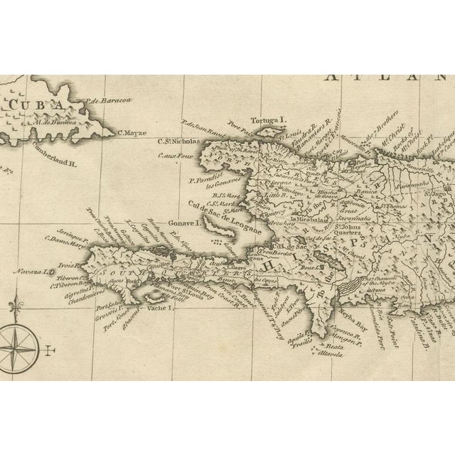
Antique Map of Cuba & Hispaniola, Caribbean Sea Chart by Bowen, 1744 This finely engraved mid-18th century map by the …
Read more
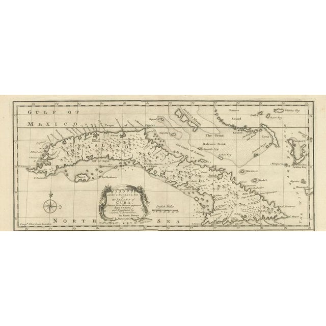
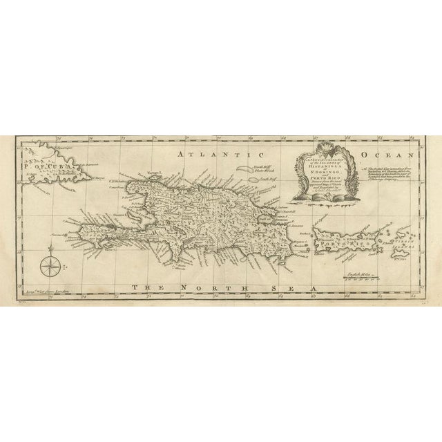
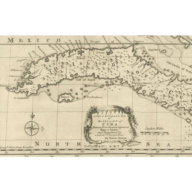
Antique Map of Cuba & Hispaniola, Caribbean Sea Chart by Bowen, 1744 This finely engraved mid-18th century map by the celebrated English cartographer Emanuel Bowen presents two important islands of the Spanish Caribbean: Cuba and Hispaniola (modern Haiti and the Dominican Republic). Published circa 1747, the map reflects the growing strategic and commercial importance of the Caribbean during the colonial era, when European powers fiercely contested influence over trade routes, sugar plantations, and naval strongholds throughout the West Indies. The upper section depicts Cuba in remarkable detail, extending eastward toward the Bahamas and the Turks & Caicos region. Coastal towns, anchorages, banks, shoals, and maritime passages are carefully identified, illustrating the navigational focus of the chart. The lower section centers on Hispaniola and Porto Rico (Puerto Rico), with mountain ranges, settlements, rivers, and coastal features rendered with elegant precision. Decorative rococo cartouches enhance both panels, adding refinement typical of Bowen’s engravings. Emanuel Bowen (1694–1767) served as Royal Mapmaker to King George II and was among the most respected English cartographers of the 18th century. His maps combined geographic accuracy with decorative appeal and were widely used by merchants, navigators, and scholars. This example likely originated from one of Bowen’s atlases or geographical compilations published in London during the height of British maritime expansion. The restrained engraving style, balanced composition, and detailed hydrographic information make this an especially attractive map for collectors of Caribbean history, colonial cartography, or maritime exploration. It would display beautifully in both traditional and contemporary interiors, particularly when framed with a dark walnut or black lacquer frame and a wide ivory mat to emphasize the elegant engraved detail.
Condition: Good antique condition overall, with age-related toning and minor wear consistent with use. Light fold line visible at center as issued. Wide margins preserved. Damp stains at the lower end. Please study scan carefully. Note: This map is an original antique engraving, not a reproduction. All items we offer are authentic period works of art over 100 years old. The piece is sold unframed; any framed images are shown for presentation and interior inspiration only and may not always be to scale. Technique: Copperplate engraving Maker: Emanuel Bowen, London, circa 1744
See less
- Dimensions
- 18.5ʺW × 16.14ʺH
- Period
- Mid 18th Century
- Country of Origin
- France
- Item Type
- Vintage, Antique or Pre-owned
- Materials
- Paper
- Condition
- Good Condition, Unknown, Some Imperfections
- Color
- Black
- Condition Notes
- Very Good — This vintage item has no defects, but it may show slight traces of use\. Condition: good, given … moreVery Good — This vintage item has no defects, but it may show slight traces of use\. Condition: good, given age. Light soiling and creasing. General age-related toning and/or occasional minor defects from handling. Vertical folding lines in the center and damp stains at the lower end. Please study scan carefully. less
Returns & Cancellations
Return Policy - All sales are final 48 hours after delivery, unless otherwise specified in the description of the product.
Cancellation Policy - Prior to shipping or local pickup, buyers may cancel an order for up to 48 hours, unless otherwise specified.