

Details
Description
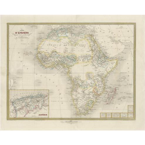
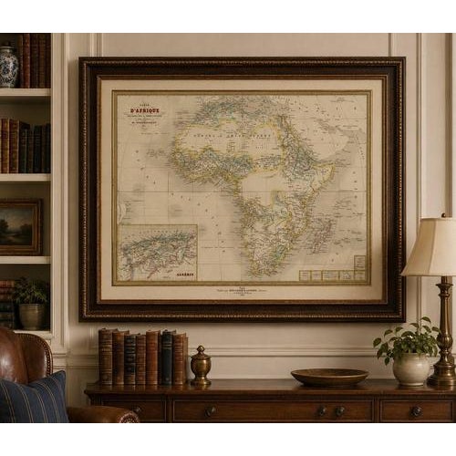
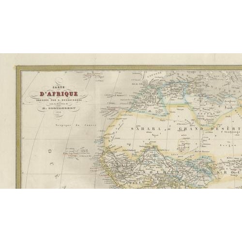
French Map of Africa by Cortambert – Sahara, Egypt & Algeria, 1864 A finely engraved and historically fascinating map of … Read more French Map of Africa by Cortambert – Sahara, Egypt & Algeria, 1864 A finely engraved and historically fascinating map of Africa published in Paris in 1864 under the direction of the noted French geographer Eugène Cortambert. This elegant mid-19th century map presents the African continent during a pivotal era of European exploration and colonial expansion, shortly before the major territorial divisions of the “Scramble for Africa.” The map displays Africa in remarkable detail for the period, with delicately engraved coastlines, rivers, caravan routes, colonial settlements, and regional kingdoms carefully identified throughout the continent. The Sahara Desert dominates the northern interior, while the Nile River system and Egypt are shown with particular clarity. Southern Africa includes early colonial divisions and important ports, while Central Africa still contains many partially unexplored regions reflecting the geographical uncertainties of the time. An inset map of Algeria appears in the lower left corner, emphasizing the importance of French colonial interests in North Africa during the Second Empire period. Madagascar and surrounding islands are also prominently included, with maritime routes and coastal names engraved in fine detail. The restrained original outline hand coloring enhances the political boundaries without overwhelming the refined engraving work. Decorative typography and elegant cartouches give the map the sophisticated visual character typical of French educational atlas production of the 1860s. Its large horizontal format makes this an especially attractive decorative piece for framing in a study, library, office, or travel-inspired interior. A dark walnut or ebonized frame with an ivory mat would complement the muted tones and period aesthetic beautifully. Condition: Fair to good condition overall, with light visible wear and age-related toning. The map has been professionally backed with a new support backing for stabilization and display purposes. Note: This map is an original antique engraving, not a reproduction. All items we offer are authentic period works of art over 100 years old. The piece is sold unframed; any framed images are shown for presentation and interior inspiration only and may not always be to scale. Technique: Original engraved map with original outline hand color Maker: Eugène Cortambert, Paris, 1864 See less
- Dimensions
- 20.47ʺW × 16.54ʺH
- Period
- Mid 19th Century
- Country of Origin
- France
- Item Type
- Vintage, Antique or Pre-owned
- Materials
- Paper
- Condition
- Good Condition, Unknown, Some Imperfections
- Color
- Gold
- Condition Notes
- Good — This vintage item remains fully functional, but it shows sign of age through scuffs, dings, faded finishes, minimal … moreGood — This vintage item remains fully functional, but it shows sign of age through scuffs, dings, faded finishes, minimal upholstery defects, or visible repairs\. Condition: Fair to good condition overall, with light visible wear and age-related toning. The map has been professionally backed with a new support backing for stabilization and display purposes. less
Returns & Cancellations
Return Policy - All sales are final 48 hours after delivery, unless otherwise specified in the description of the product.
Cancellation Policy - Prior to shipping or local pickup, buyers may cancel an order for up to 48 hours, unless otherwise specified.