





Details
Description
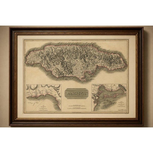
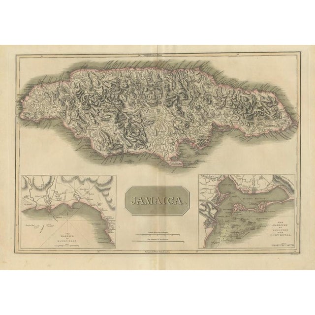
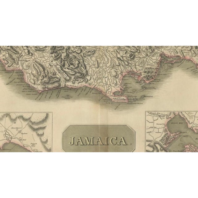
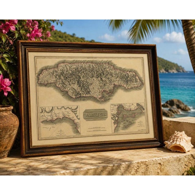
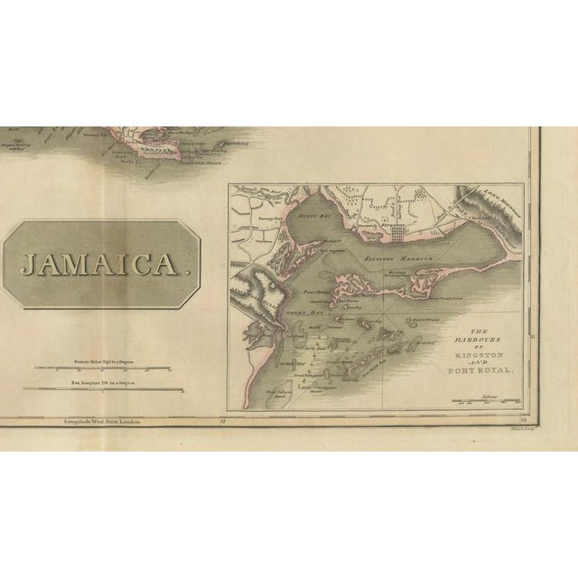
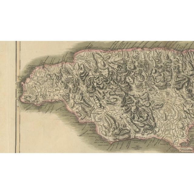
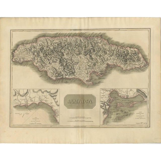
Jamaica Map by John Thomson, Kingston & Port Royal Harbors, c.1817 A finely engraved and historically important early 19th-century map … Read more Jamaica Map by John Thomson, Kingston & Port Royal Harbors, c.1817 A finely engraved and historically important early 19th-century map of Jamaica by the celebrated Scottish cartographer John Thomson, published circa 1816–1817 in Thomson’s influential New General Atlas. This detailed copper-engraved map presents the entire island with remarkable clarity, illustrating Jamaica’s mountainous interior, coastal settlements, road networks, rivers, and parish divisions during the height of British colonial power in the Caribbean. The map is particularly admired for its dramatic depiction of the island’s rugged topography, rendered through dense hachuring that gives the landscape a striking sculptural appearance. Coastal towns, plantations, anchorages, and inland routes are carefully recorded, reflecting Jamaica’s strategic and economic importance in the early nineteenth century when the island was one of Britain’s wealthiest sugar-producing colonies. Two detailed inset maps enrich the composition. The first depicts the harbor of Bluefields on the island’s southern coast, while the second shows the important harbors of Kingston and Port Royal, historically among the most significant naval and commercial centers in the Caribbean. These insets provide additional maritime detail for collectors interested in naval history, trade routes, and colonial infrastructure. John Thomson’s atlases are highly regarded for their elegant engraving style, balanced typography, and exceptional geographical accuracy. His maps bridged the transition between the decorative cartography of the eighteenth century and the increasingly scientific approach of the nineteenth century. Original Thomson maps remain highly collectible today for both their decorative appeal and historical significance. The soft original hand coloring and restrained palette give the piece a refined, timeless appearance that works exceptionally well in both traditional and contemporary interiors. The map is especially suitable for collectors of Caribbean history, British colonial cartography, maritime subjects, or Jamaican historical material. Condition: Good antique condition with age toning, light foxing, and minor handling wear consistent with age. Original center fold as issued. Margins remain generous and the engraving impression is strong. Framing tips: Particularly attractive in a dark walnut, black lacquer, or colonial-style mahogany frame with a wide ivory mat. Works beautifully in studies, libraries, Caribbean-inspired interiors, or maritime-themed spaces. Technique: Hand-colored copper engraving Maker: John Thomson, Edinburgh / London, circa 1816–1817 See less
- Dimensions
- 27.17ʺW × 21.26ʺH
- Period
- 19th Century
- Country of Origin
- United Kingdom
- Item Type
- Vintage, Antique or Pre-owned
- Materials
- Paper
- Condition
- Good Condition, Unknown, Some Imperfections
- Color
- Black
- Condition Notes
- Very Good — This vintage item has no defects, but it may show slight traces of use\. Good antique condition … moreVery Good — This vintage item has no defects, but it may show slight traces of use\. Good antique condition with age toning, light foxing, and minor handling wear consistent with age. Original center fold as issued. Margins remain generous and the engraving impression is strong. less
Returns & Cancellations
Return Policy - All sales are final 48 hours after delivery, unless otherwise specified in the description of the product.
Cancellation Policy - Prior to shipping or local pickup, buyers may cancel an order for up to 48 hours, unless otherwise specified.