


Details
Description
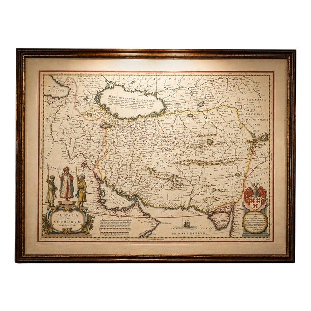
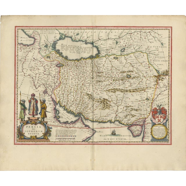
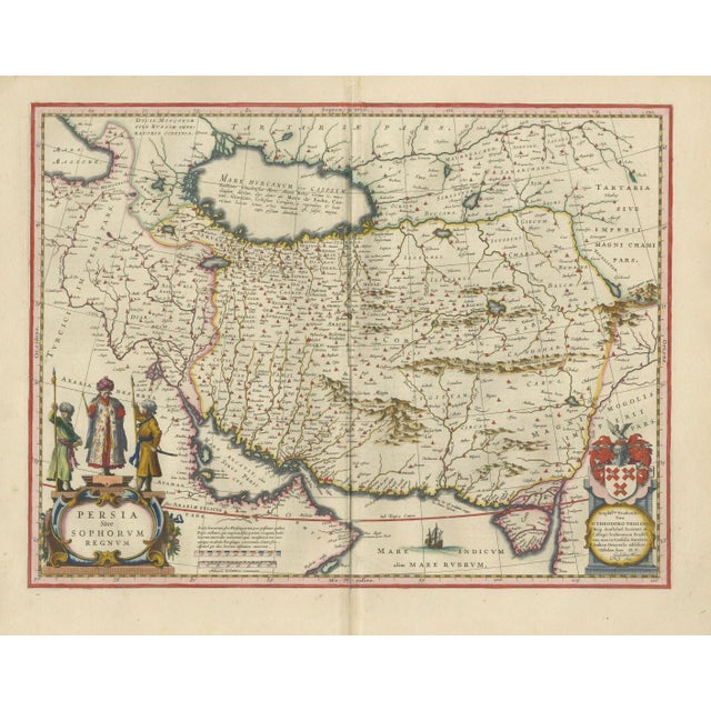
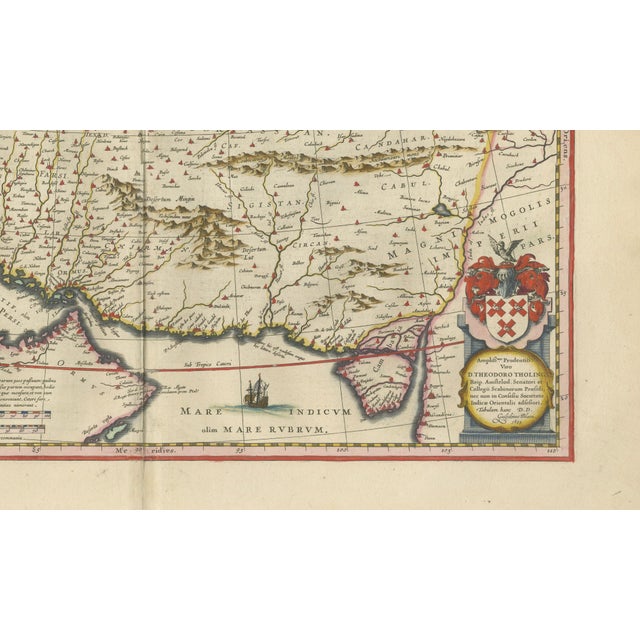
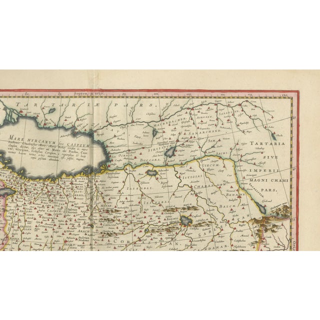
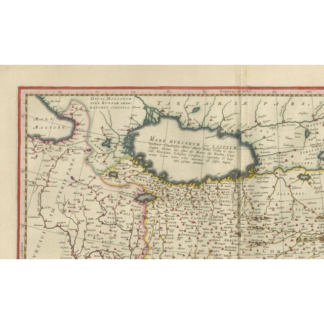
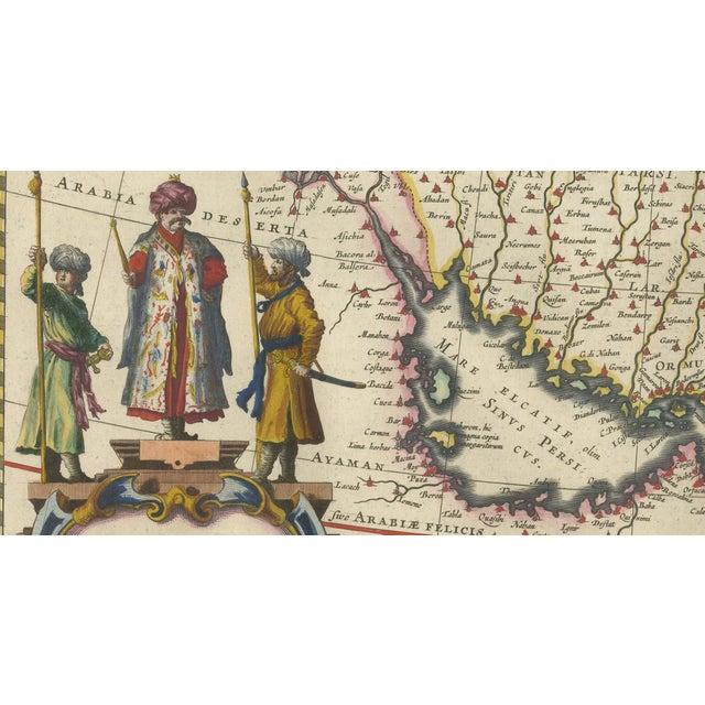
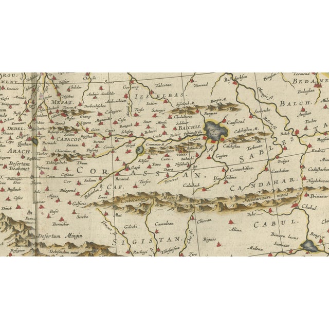
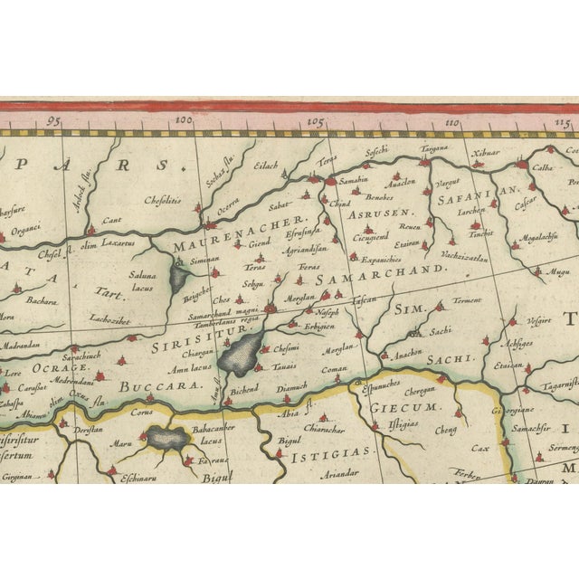
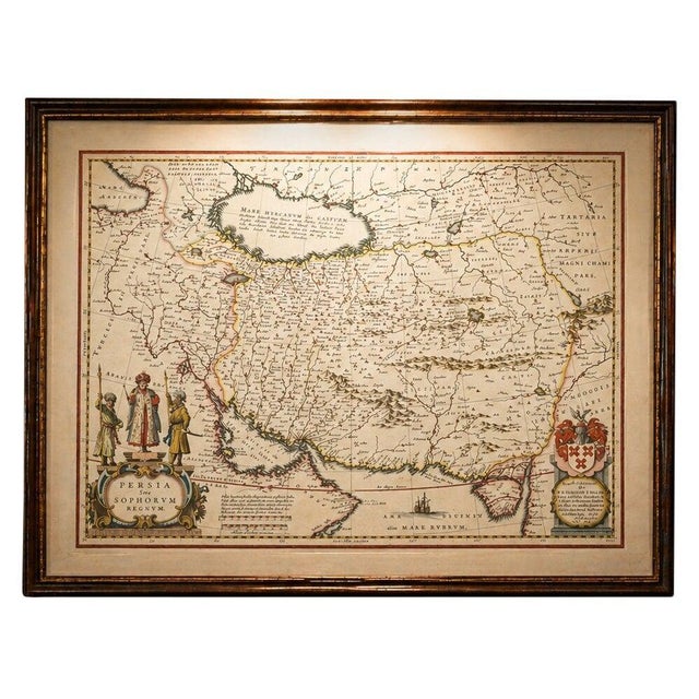
Blaeu Map of Persia, Caspian Sea & Arabia, Hand Colored, c.1642 : A richly detailed and highly decorative 17th-century map … Read more Blaeu Map of Persia, Caspian Sea & Arabia, Hand Colored, c.1642 : A richly detailed and highly decorative 17th-century map of Persia (modern-day Iran) and the surrounding regions, engraved and published by Willem and Joan Blaeu in Amsterdam around 1642. This striking composition originates from Blaeu’s celebrated atlas Toonneel des Aerdrycx, produced at the height of the Dutch Golden Age of cartography. The map covers an expansive geographic area, stretching from Asia Minor and the eastern Mediterranean across Persia to Central Asia and parts of India, with the Caspian Sea prominently rendered at the top center. The Persian Gulf and Arabian Peninsula are carefully delineated, while mountain ranges, rivers, and cities are finely engraved with remarkable clarity and precision. The Caspian Sea is particularly notable for its distinctive early depiction, reflecting contemporary European geographical understanding. Blaeu’s maps are renowned not only for their accuracy but also for their artistic refinement. This example features a beautifully hand-colored cartouche in the lower left corner, adorned with figures in traditional Persian dress, adding both ethnographic interest and visual richness. A heraldic cartouche balances the composition in the lower right, enhancing the map’s decorative appeal. The fine original hand coloring highlights borders, coastlines, and regional divisions, bringing the geography vividly to life. As one of the foremost cartographers of the 17th century, Blaeu combined scientific knowledge with artistic excellence, and his atlases were among the most luxurious publications of their time. This map exemplifies that legacy, offering both historical insight and strong decorative presence. Highly desirable for collectors of early maps of the Middle East and Central Asia, as well as for those seeking a statement piece with both historical and aesthetic significance. Condition: Good condition overall for its age, with central fold as issued. Some light toning and minor foxing consistent with age. Margins are ample. The engraving remains crisp with strong original hand color. Any minor imperfections are typical for works of this period and do not detract from the overall presentation. Framing tips: This map displays beautifully in a dark walnut or ebonized frame with a wide ivory or off-white mat to emphasize the warm tones of the paper and coloring. For a more contemporary interior, a thin black frame with a clean museum-style mat creates a refined contrast. Consider a generous matting to give the piece presence on the wall, especially given its horizontal format. Special note: This is an original 17th-century map, not a reproduction. All items we offer are authentic period works of art over 100 years old. The map is sold unframed; any framed images are shown for presentation and interior inspiration only and may not always be to scale. Technique: Copperplate engraving with original hand coloring Maker: Willem & Joan Blaeu, Amsterdam, circa 1642 See less
- Dimensions
- 23.23ʺW × 19.29ʺH
- Period
- 17th Century
- Country of Origin
- Netherlands
- Item Type
- Vintage, Antique or Pre-owned
- Materials
- Paper
- Condition
- Good Condition, Unknown, Some Imperfections
- Color
- Black
- Condition Notes
- Very Good — This vintage item has no defects, but it may show slight traces of use\. Good condition overall … moreVery Good — This vintage item has no defects, but it may show slight traces of use\. Good condition overall for its age, with central fold as issued. Some light toning and minor foxing consistent with age. Margins are ample. The engraving remains crisp with strong original hand color. less
Returns & Cancellations
Return Policy - All sales are final 48 hours after delivery, unless otherwise specified in the description of the product.
Cancellation Policy - Prior to shipping or local pickup, buyers may cancel an order for up to 48 hours, unless otherwise specified.